


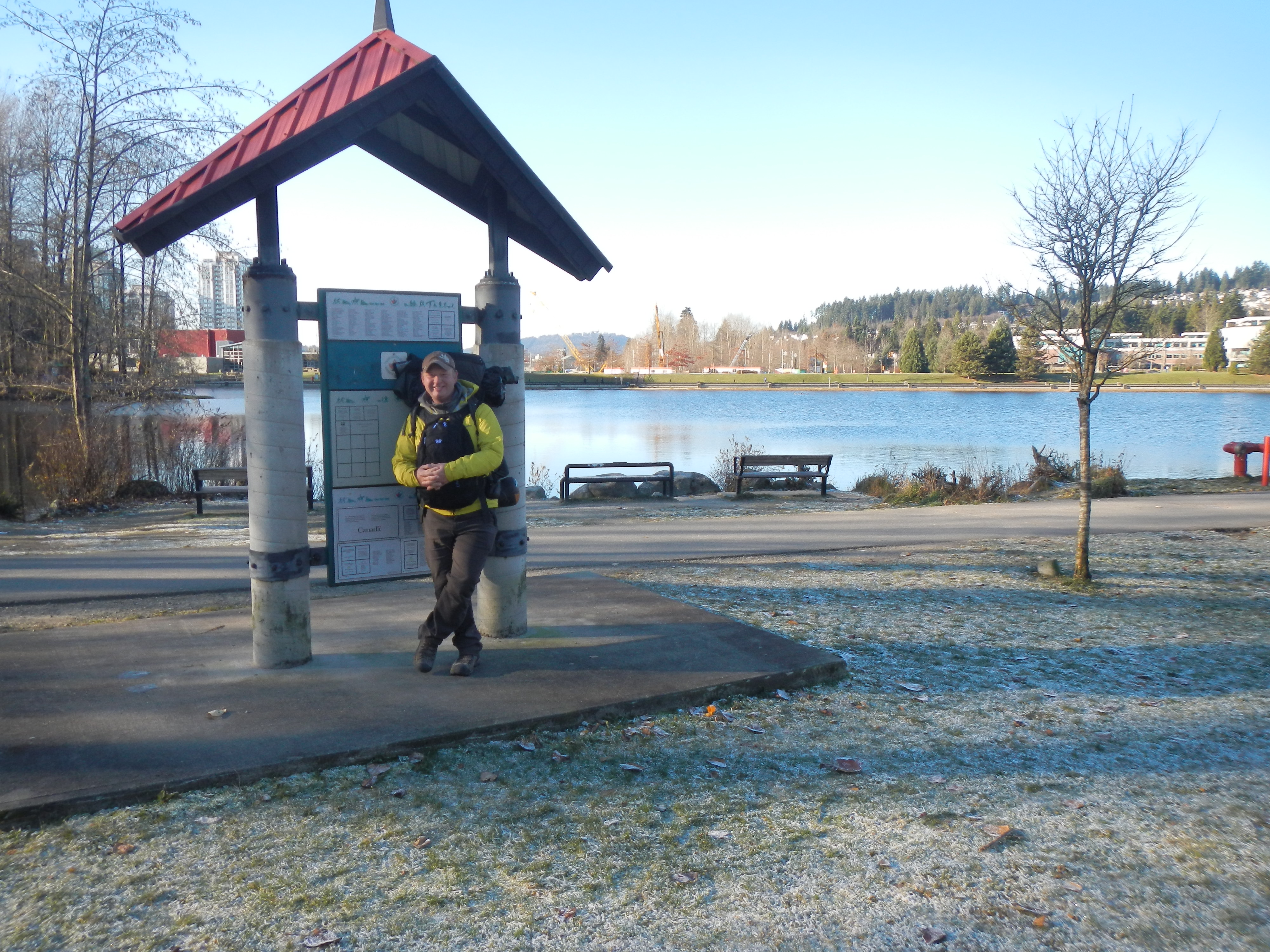
Burrard Inlet is more often called Moody Inlet starting at the Port Moody Boundary. The Trail through the TriCities covers a 26 km stretch from this boundary to the Pitt River Bridge. Expect a varied, fun, and interesting trail experience with a few sidewalks for walkers and roads for cyclists in Port Moody Centre and Guildford Way in Coquitlam.
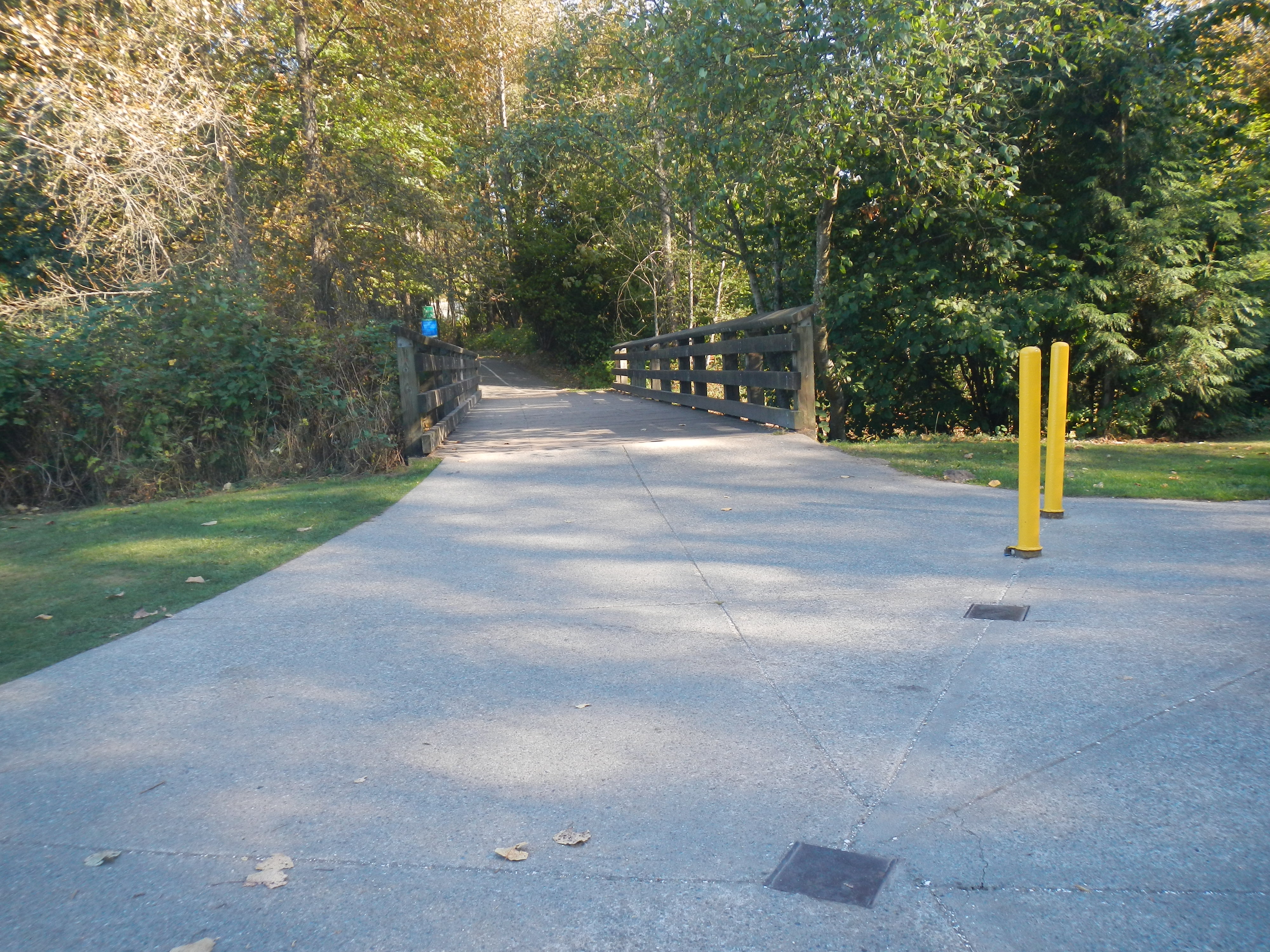
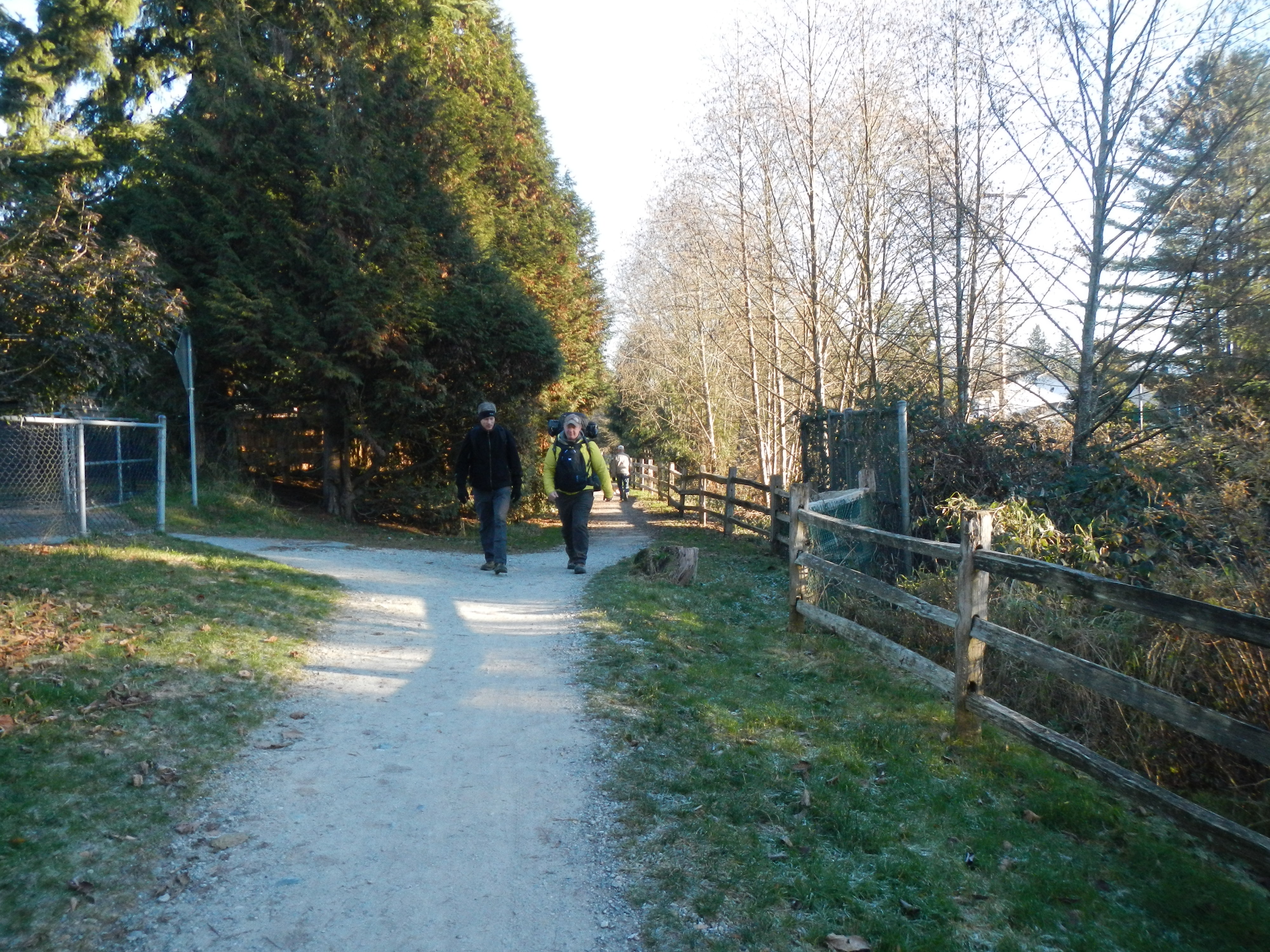
The Inlet Trail is a greenway with an undulating gravel trail. The first part of the Trail to Reed Point Marina was once the location of Aliceville. The ivy seen along the Trail was the backyard of residents. The country store was on the road down to Petro-Canada Port and the last house was sold to Gulf Oil Company in 1958. The views take in the BC Hydro Thermal Plant and Mountain Views over Moody Inlet, an arm of Burrard Inlet. The second part of Inlet Trail from Reed Point Marina to Port Moody Centre additionally features industrial activity such as the yellow sulphur piles of the SimcprTerminal and the Reichhold Chemical Plant. There are interpretive signs all along this route. Of note, this was the location of the first western most CPR rail station established in 1886. A visit to the Port Moody Museum at the entrance of Rocky Point Park will divulge many of these historical moments in the area.
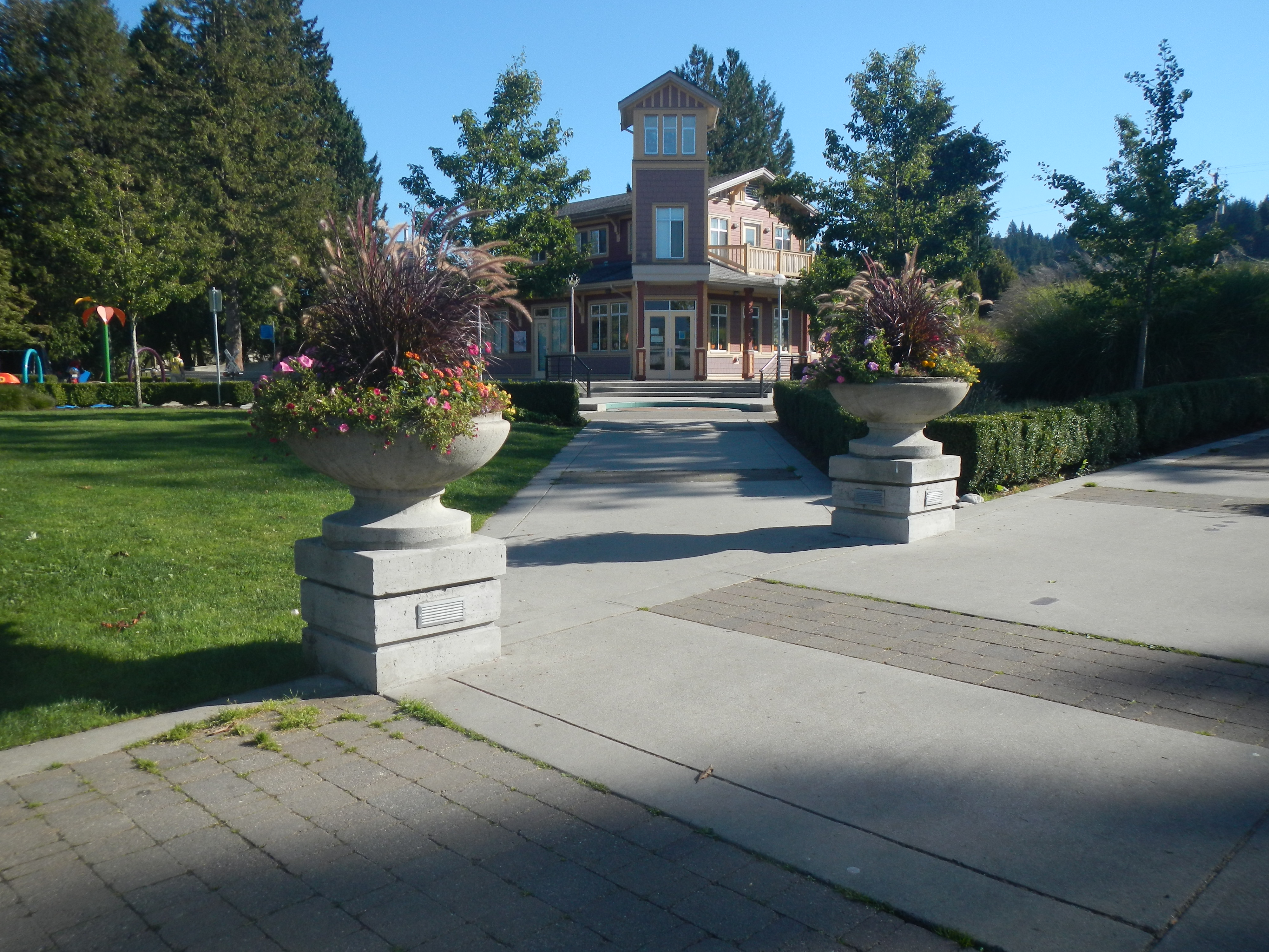
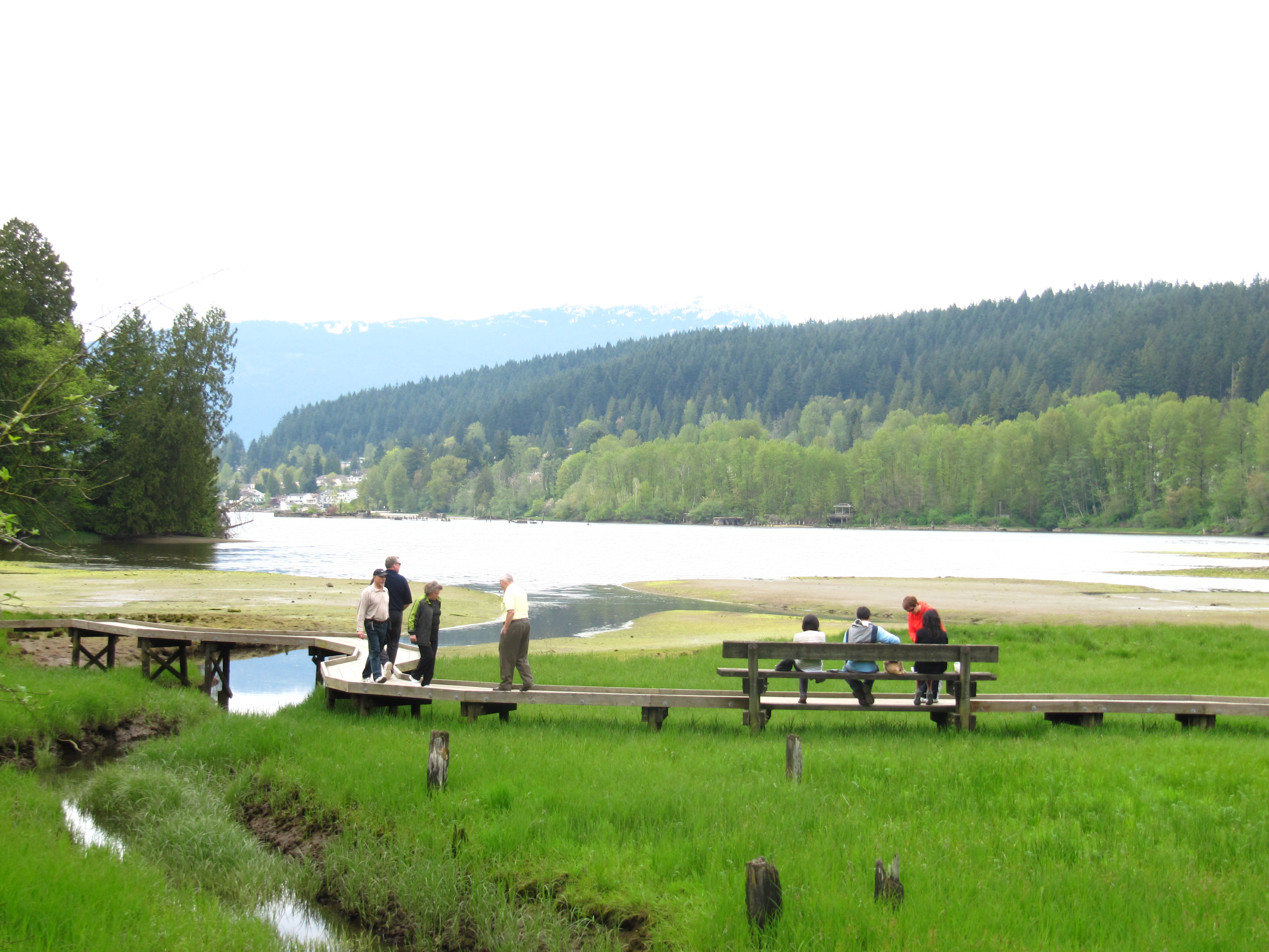
The Trail takes in the Old town of Port Moody with interesting heritage buildings, shops, and restaurants. Past this, the Shoreline Trail starting at Rocky Point Park features extraordinary tidal activity in the mud flats and is a greenway past a large recreation centre complex and a modern City Hall. Given extra time, it is worth taking a look at the architecture foyer of the City Hall. Past this complex through Pioneer Park the Trail heads through Newport Village a prime example of a dense livable residential village that reduces the need for a car.
Guildford Way, a boulevard with sidewalk and bike lanes, accesses a number of schools, the Coquitlam Grind and a park before reaching the entrance of the Hoy Creek Trail, a connector greenway between Douglas College Campus and Coquitlam Center Park. Hoy Creek is one of four major salmon producing creeks in the TriCities.
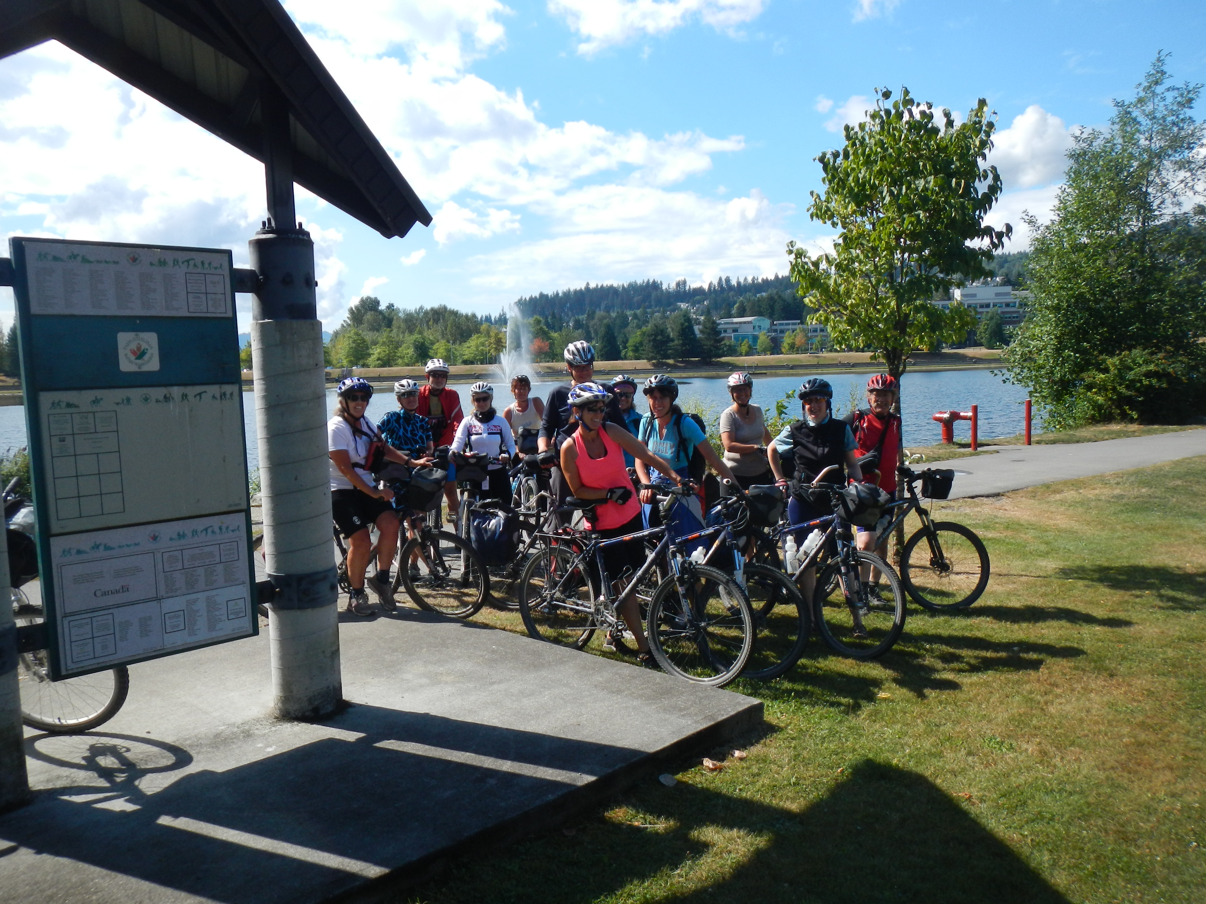
Entering Coquitlam Town Centre Park and following LaFarge Lake to the TCT Pavilion, the Trail continues on a series of greenways, that includes the Coquitlam River Park, Hyde Creek Trail and the Pitt River dikes and features magnificent coastal trees, a major fish hatchery on Hyde Creek and tidal Pitt River. It is also part of the Port Coquitlam Traboulay PoCo Trail that encircles Port Coquitlam.
Of note, the Hyde Creek Recreation Center is the site of the Terry Fox Hometown Run. It is difficult to imagine that LaFarge Lake was the site of a former quarry. Also, treat yourself to an extraordinary sight on Hyde Creek when the salmon are spawning in November. The dry creek reverts back to a flowing creek teeming with spawning salmon.
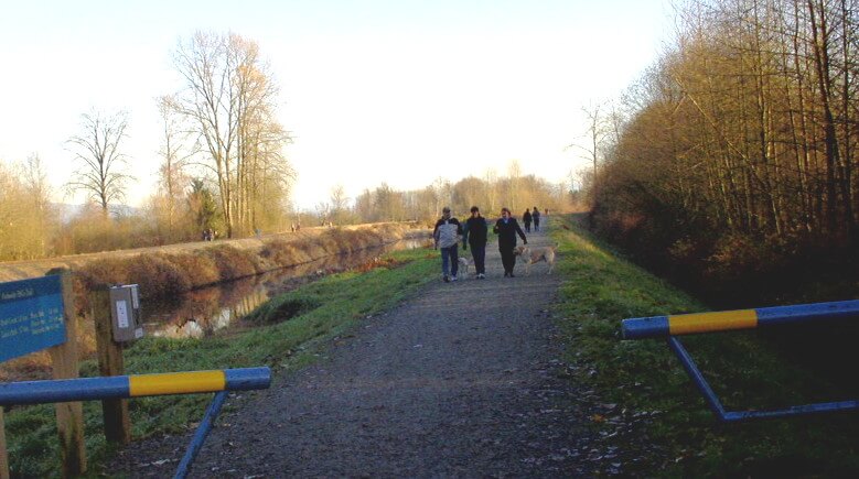
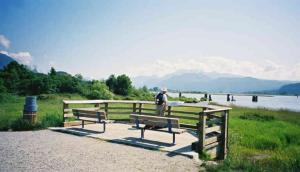
Along the Pitt dikes herons are plentiful along with other wild birds such as ospreys and ducks. Be treated with extraordinary views of the Golden Ears Mountain and farmlands all along these dikes. The river is also very active with boats and log booms. It is a tidal river in conjunction with Pitt Lake, one of the world’s largest tidal lakes.
Staging Areas:
In Port Moody, parking is available along Clarke Street, Rocky Point, and at the Ice Centre.
In Coquitlam, parking is mainly available at Eagle Ridge Park and in the Town Centre Park.
In Port Coquitlam, parking is available at the Hyde Creek Community Centre and at the start of DeBoville Slough dike trail.
GPS INFORMATION:
- KML/KMZ files can be opened in Google Earth, and many smartphone apps.
- GPX files can be opened by most GPS software apps when KMZ cannot. Note, GPX files do not contain custom colours and icons that we use on our maps; all tracks and icons will appear the same colour and styles. We recommend using KMZ instead of GPX if possible.
The files below include data for only this specific area. For all of our Trans Canada Trail data for the entire province (including features, campsites and alternate routes), download our BC.kmz master file (1.2 MB)
Visit our GPS & Navigation page for instructions of how to use your smartphone as a GPS device (even when outside of data coverage) or how to import data to your Garmin unit.
GPS DOWNLOAD (KMZ FILE)
GPS DOWNLOAD (GPX FILE)
DOWNLOAD INFORMATION SHEET
Staging Areas:
In Port Moody, parking is available along Clarke Street, Rocky Point, and at the Ice Centre.
In Coquitlam, parking is mainly available at Eagle Ridge Park and in the Town Centre Park.
In Port Coquitlam, parking is available at the Hyde Creek Community Centre and at the start of DeBoville Slough dike trail.
Washrooms:
In Port Moody, there are washrooms at Rocky Point, The Petro-Canada Ice Centre and at the library entrance to the City Hall.
In Coquitlam, there are public washrooms at the Douglas College Campus in the Community Centre, at the tennis courts and the stadium in the Town Centre Park.
In Port Coquitlam, there are washrooms at the Hyde Creek Community Centre and at the start of DeBoville Slough dike trail.
Shopping:
Port Moody: Shops and restaurants are plentiful in Port Moody along Clarke Street and St Johns Street as well as in Newport Village
Port Coquitlam: Restaurants and shops are near the trail by going south on Coast Meridian from the Trail.
Accomodations:
There is a campground at the entrance to Buntzen Lake in Anmore at Anmore Camplands 3230 Sunnyside Road. Be prepared to climb hills and to travel approximately 7.5 km.
Bed & Breakfasts can be found in the area:
http://www.green-gables.com/
Inlet Bay Retreat
There is other accommodation available along Lougheed Highway at PoCo Inn & Suites that can be accessed by going south on Coast Meridian.
Transportation:
TransLink – There are bus stops at Union Street, all along Clarke St., Rocky Point, Port Moody Civic Centre, and all along Guildford Way.
Westcoast Express (train) at Moody St. and Clarke Street at the bridge crossing over the tracks to Rocky Point, across the Coquitlam Center in Coquitlam, and near the centre of town in Port Coquitlam.
Directions:
DOWNLOAD INFORMATION SHEET (PDF)(Note: The TCT markers start at 0 on at the Burnaby Mt. Pavilion and finishes at 15.6 km at the Tri-City Pavilion in Coquitlam Town Centre Park)
Inlet Trail – Port Moody Boundary to Rocky Point
From across Petro Canada at the traffic light on the Barnet Highway follow the path down towards the Petro Canada and watch for the Inlet Trail starting on your right at the Port Moody Boundary, a forested trail to Reed Point Marina.
From Reed Point follow the paved path up to the crest of the hill, cross and start following a trail that begins below the highway all the way to the Union Street taking in viewpoints, wooded areas and several vistas of the Moody Inlet and the mountains to the North and Northwest. At 0 .7 km into the Trail ignore a road going uphill and continue straight ahead viewing the extraordinary conveyor belts loading ships with sulphur at Pacific Coast Terminal. Further along the Trail there is another turn off to the right to Union Street (1.27 km). Going up this short trail and onto the pedestrian overpass provides a sensational view of the whole Moody Inlet including Belcarra Park, Buntzen and Eagle Ridges and mountains as far as Mount Seymour. Double back and continue on the Trail to Schoolhouse Creek.
Old Port Moody
Follow Short Street, turn right on Douglas Street up to Clarke Street. Follow Clarke Street Eastward all the way through the Old Port Moody Town up to an overpass going over railroad tracks next to the Pacific Express Commuter Station. In the early morning several passenger trains, the Westcoast Express, go to Vancouver. In the late afternoon the train goes in the opposite direction stopping in Coquitlam, Port Coquitlam, Pitt Meadows, Maple Ridge, and Mission
Shoreline Trail (1.6 km)
(Provision for Inline Skaters and Wheelchairs as well)
Take the staircase or ramp on your right down to Rocky Point Park which has undergone a magnificent facelift. Under the ramp is the old Port Moody Station Museum. Proceed on the pathway towards the water and take in the pier and other shoreline sites. Follow the path along the shore which splits into a walking and a cycling path through a splendid forest. The cycling path is the main route of the theTCT but it is recommended that walkers take the more scenic trail along the water. Cyclists can choose to walk their bikes on the walking path for the more picturesque excursion. Approximately 1.5 km down the path, watch to turn right over tracks to the Recreation Centre complex.
Moody Centre Trail (1.4 km)
Proceed north first along the tracks then along Noons Creek where there a fish hatchery run by volunteers across the creek. Continue past the Petro-Canada Ice Centre to a parking lot. Go through the parking lot to the first entrance and turn South on a sidewalk, then cross over to the main entrance in Pioneer Memorial Park. Follow the path in this park to a sidewalk on Ioco Road. Cross Ioco Road at the traffic light and continue through Newport Village — a great spot for a coffee break. This road curves toward Ungless Way. Turn right (east) to Guildford Way and turn left on Guildford past Eagle Ridge Hospital. This is the Coquitlam/Port Moody boundary. It is advisable to stay on the north sidewalk to not lose sight of the TCT signs.
Guildford Way Trail
From the Port Moody border where there is a Welcome to Port Moody sign, continue on the sidewalk crossing Falcon Drive, Lansdowne Drive, and Johnson Street passing Eagle Ridge Elementary School, Scott Creek Middle School, Eagle Ridge Park, and Gleneagle Secondary School.
Hoy Creek Trail
Turn left along Hoy Creek. At the fish hatchery do not cross the bridge. Take the trail on the right side of the creek where there are apartment buildings on the right and quickly becomes a forest trail. Once in the forest watch for a trail to the right going east that leads on the David Lam (Douglas College) and Pinetree Secondary School campus. Here the trail passes a Community Centre (public washrooms and information available) and eventually crosses Pinetree Way to Lafarge Lake in Town Centre Park.
Town Centre Park Trail
This Trail follows the North end of Lafarge Lake and veers to the left and follows the bike path on the outer east edge of the park passing the Trans Canada Trail Pavilion site and the stadium. There are public washrooms at the tennis courts and the stadium. The TCT gets off the park trail at the Northeast corner of the park to cross Pipeline Road on a pathway to a waterline right-of-way on the right that starts as a paved path.
Coquitlam River Trail
Follow the pipeline right-of-way right trail up to the Coquitlam River the trail turn right through forest and fish channels along the Coquitlam River to a pedestrian bridge that crosses the Coquitlam River into Port Coquitlam (actually the last 250 metres of trail was also in Port Coquitlam). The Coquitlam portions of the trail on the east side of the river will be described as part of the PoCo Trail in Port Coquitlam.
Distances: (Note: the TCT km markers start at 0 at the Tri-City TCT Pavilion in Coquitlam Centre Park and goes to 18 km at the TCT Pavilition in Pitt Meadows at the Harris Rd. Parking area on the South Alouette River Dike. Also, it starts at 0 on at the Burnaby Mt. Pavilion and finishes at 15.6 km at the Tri-City Pavilion)
Coquitlam River to Coast Meridian Road
Starting at the Patricia St. Pedestrian Bridge
Bridge over the Coquitlam River, loop under the bridge to Coquitlam River Park and proceeding north upriver. Follow this forested path along the Coquitlam River and fish channels to Shaughnessy Street. Cross the street and continue through a dense mature forest, a continuation of Coquitlam River Park, to the corner of Oxford Street and Lincoln Avenue. Follow Lincoln Avenue on the south shoulder path eastward to Wellington Park. Take a path on the right through this mature forested park proceeding diagonally towards the corner of Wellington Street and Patricia Avenue. Follow Patricia Avenue eastward on a path to Coast Meridian Road. Cross the road to join Hyde Creek Trail.
Hyde Creek Section
At Coast Meridian and Patricia, follow the Hyde Creek Trail past a majorFish Hatchery (worth a visit) and the Hyde Creek Community Centre. Public Facilities can be found here. This is home of Terry Fox and a dedicated monument at the flag is the staging site of the yearly Terry Fox runs in September. Continue on the Hyde Creek Trail to Cedar Drive. Treat yourself to an extraordinary sight along Hyde Creek when the salmon are spawning in November. The dry creek reverts back to a flowing creek teeming with spawning salmon. Just before Cedar Drive turn left over a bridge to continue on the west side of Hyde Creek to the corner of Victoria Drive and Cedar Drive and aim for the south dike of the DeBoville Slough. A side trip to Minnekhada Regional Park can be made at this point by following the north dike of the slough. This park is well known in the area for its well-preserved hunting lodge and wild bird sanctuary.
DeBoville Slough and Pitt River Dikes
Follow these dikes to the Pitt River Bridge and proceed east on the north pathway of the bridge.