This will be a rewarding experience for those of you who are experienced with the backcountry. At this time, the trail takes in quite a bit of roadway. Even if there are efforts being made to take this whole trail off Ministry of Highways roads (about 13 km at this time), the route will likely always include a substantial amount of former Forest Service Roads and a few active ones.
These alternatives to the main route of the TCT give options to equestrians and hikers only. Because of high elevations, the season for these trails starts at about the second week in July to about the second week in October. The trip from Chilliwack Lake is between 5 to 7 days of wilderness and alpine trekking. Chilliwack Lake Provincial Campground to Coalmont is about 126 km via Paleface Pass and about 120 km via Greendrop Lake. Subtract 10 km if you don’t take the Granite Mountain route. Support with vehicles can be provided along the Silver Skagit Rd (Upper Silverhope and Skagit River trailheads) and Highway 3 (Sumalo and Cascade trailheads). 4W drives can make it to Lodestone Lake from Coalmont but beyond that, it may not be possible. While there are campgrounds along the way, be prepared for wilderness camping.
Generally, hikers have three options from Chilliwack to Coalmont on the KVR:
Go over Paleface Pass and follow the main TCT route described in Chilliwack-Silverhope to Hope (note that cyclists are recommended to take a different option via Hwy 7 to Hope from Chilliwack)
Go over Paleface Pass and head for Coalmont via the Skagit and Cascade Trails
Take the Centennial Trail via Greendrop and Hicks Creek and head for Coalmont via the Skagit and Cascade Trails.
This route offers camping at Lindeman and Greendrop Lakes in the Pass. Both these Lakes are in the Chilliwack Lake Provincial Park. The lakes themselves are quite beautiful, especially Greendrop Lake viewed from the trail above the lake.
At the east end of Greendrop Lake is the start of the Hicks Creek FSR trail. Unfortunately, the top part of this FSR has been decommissioned for 7 km and as of 2014 it has become impassable. Hence it would be quite a slog for 7 kilometers. Watch for a TCT sign going south about 1 km before reaching the Silver Skagit Road.
Equestrians really only have one option and that is to go over Paleface Pass and head for Coalmont via the Skagit and Cascade Trails.
At this time, it is possible to reach Lodestone Lake, Wells Lake, and Paddy Pond with a 4W drive vehicle. Paddy Pond is best reached via the Whipsaw Creek Rd. off #3 Hwy 14 km south of Princeton towards Manning Park and app 80 km from the Cascade Trailhead. The two lakes are more easily reached via Coalmont.
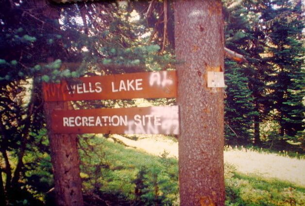
Those who have 4W drive shuttle service, the trip is possible with a daypack with a stopover at Wells Lake (25 km short route 35 km long route) going North to Wells Lake and then 32.5 km to Coalmont). One would have to be very sure that the 4W drive could make it to Wells Lake Recreation Area.
GPS INFORMATION:
KML/KMZ files can be opened in Google Earth, and many smartphone apps.
GPX files can be opened by most GPS software apps when KMZ cannot. Note, GPX files do not contain custom colours and icons that we use on our maps; all tracks and icons will appear the same colour and styles. We recommend using KMZ instead of GPX if possible.
The files below include data for only this specific area. For all of our Trans Canada Trail data for the entire province (including features, campsites and alternate routes), download our BC.kmz master file (1.2 MB) Visit our GPS & Navigation page for instructions of how to use your smartphone as a GPS device (even when outside of data coverage) or how to import data to your Garmin unit.
At this time, it is possible to reach Lodestone Lake, Wells Lake, and Paddy Pond with a 4W drive vehicle. Paddy Pond is best reached via the Whipsaw Creek Rd. off #3 Hwy 14 km south of Princeton towards Manning Park and app 80 km from the Cascade Trailhead. The two lakes are more easily reached via Coalmont.
Those who have 4W drive shuttle service, the trip is possible with a daypack with a stopover at Wells Lake (25 km short route 35 km long route) going North to Wells Lake and then 32.5 km to Coalmont). One would have to be very sure that the 4W drive could make it to Wells Lake Recreation Area.
Washrooms:
Route Highlights:
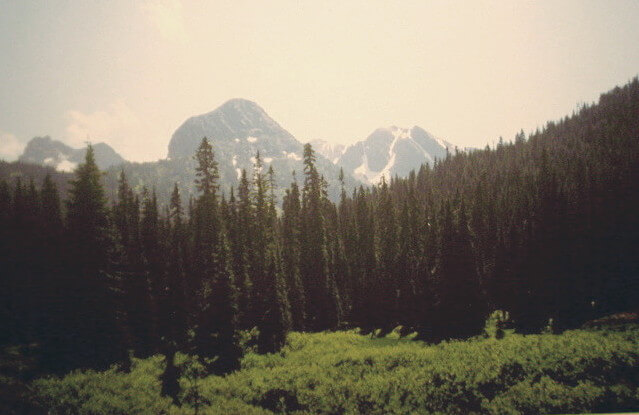
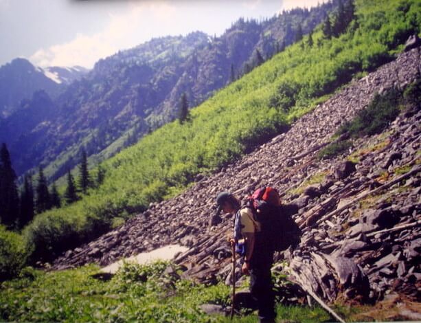
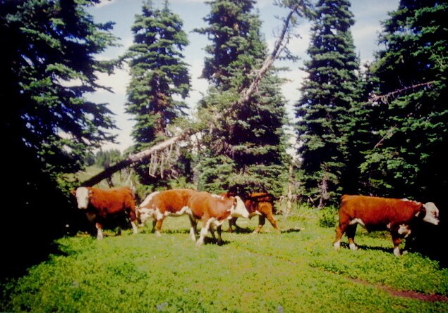
The main highlight of this trip is the great alpine experience from the top of Snass Creek at the Divide to Lodestone Lake – about halfway, Granite Mountain offers excellent views of rolling mountains to the East (many of them being harvested for lumber) and mountain peaks to the south. Also, the meadows on Granite mountain are the most varied and most spectacular. Interestingly, you are likely to meet range cattle right up to its summit. The trail starts at about 600 metres/1970 ft at Upper silverhope and finishes at about 600 metres in Coalmont with its highest point being 1900 metres/6200 ft at the summit of Granite Mountain – 1300 metres/4300 ft elevation change.
Klesilka Trail – Upper Silverhope to Skagit Valley Trail – 14.5 km — 595 to 538m/1950 to 1765 ft. elevation From the Upper Silverhope FSR, for now, the trail follows the Silver Skagit Road heading south for about 10 km, just beyond the boundary of Skagit Valley Provincial Park. The trail can be picked-up on the west side of the road and meanders along the Klesilkwa River to the Skagit River. Back on the road, the Silver Tip Campground is on the north side of the 26-Mile Bridge, as it is known, while the Skagit Valley River trailhead is on the southside. Skagit Valley River Trail to the Cascade Trailhead – 14 km to Sumalo Trailhead plus another 3.25 km to the Cascade Trailhead. Elevation at Cascade Trailhead – 770m/2500ft Check out this link to the Skagit Valley River Provincial Park before heading out. This trail generally keeps the rushing Skagit River on your left but is not necessarily within sight. It is part of the Old Whatcom Trail. The main features include wild rhododendrons, black cottonwoods, ponderosa pine, old-growth forest and vestiges of past mining. If the entrance of the trail is flooded, it is possible to get around the flooding 100 to 150 metres south on the Silver Skagit road and by following the flagging back to the main trail. Care should be taken to stay on the Skagit River Trail and not take the Centennial Trail about 20 minutes into the trail. From Sumalo, where the Sumalo River meets the Skagit River, follow the Highway heading northeast for about 3 km past Rhododendron Flats on the right. It is worth going in this rather extraordinary park displaying a large grove of wild Rhododendrons. The Cascade Trailhead and parking is on the left side just after crossing a Highway bridge over Snass Creek. Snass Creek meets the Skagit River in Rhododendron Flats. Snass Creek/Dewdney Trail – Cascade Trailhead to Paradise Valley
10 km to the Divide at the Snass View Campground. Elevation – 1450m/4750ft
Add another 4 km to the Tulameen camp in Paradise Valley. This camp has a lodge that is looked after by the Backcountry Horsemen.
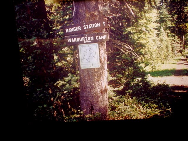
Start at the Cascade Trailhead in Manning park east of Rhododendron Flats. Stay on the Dewdney Trail following Snass Creek. Ignore signs to the Whatcom Trail. At this time be prepared to crash through high underbrush for about 3 km past Dry Lake. Wear long pants, long sleeves, and waterproof boots. At the Divide make sure to take the trail to Paradise Valley along the Tulameen and not the Warburton Trail. Paradise Valley Tulameen Camp to Wells Lake – Elevation at Wells Lake – 1650m/5410ft
Via Blackeyes/Whatcom Trail – about 9 km – This trail may not be clear of windfalls hence, not recommended at this time. It saves about 1000 ft/300m in elevation and 10 km distance.
Via Granite Mountain – Dewdney Trail – 19 km — Summit of Granite Mountain is 1900m/6200ft
At about 2.8 km past Tulameen Camp a decision needs to be make whether to follow the Blackeyes/Whatcom Trail, the HBC via Horseguard Camp or the Dewdney Trail (See the Google Earth Map). Only the Dewdney Trail is described here for now. To follow the Dewdney Trail around up and over Granite Mountain, first cross the Tulameen River and further on Holding Creek. There is a Hubbard Wilderness Camp on the way along Hubbard Creek. Near Paddy’s Pond there is a trail junction. Be sure to take the trail/4W drive road going up Granite Mountain. From the summit head for Wells Lake Camp. Wells Lake Camp to Coalmont – 34.5 km
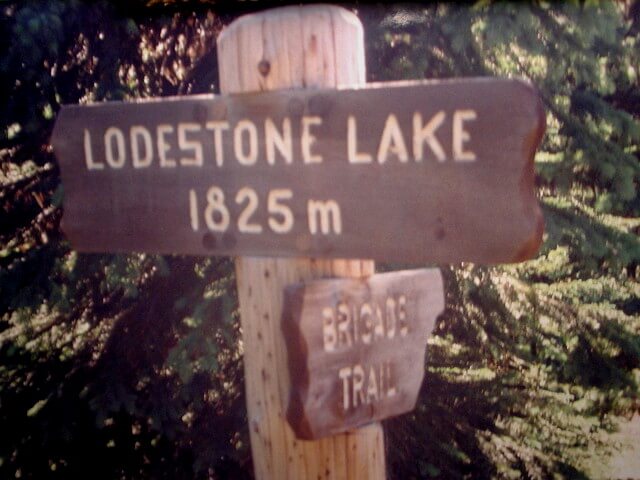
To Lodestone Lake Camp – 14 km – elevation 1825m/5990ft
Lodestone to Coalmont – 20.5 km
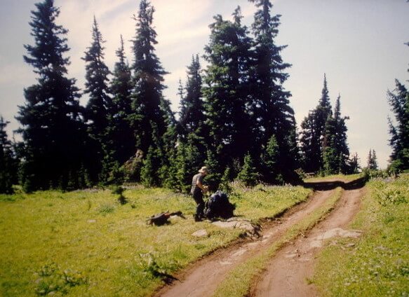
Soon after leaving Wells Lake Camp the trail goes around pond and then heads northward to Coalmont for a pleasant trek to Lodestone Lake in an alpine forest between 1600m/5300ft and 1800m/5900ft elevation. From Lodestone Lake follow a Forest Service Roads all the way to Coalmont. It passes by a Provincial Campground along the Tulameen River about one km before Coalmont across the River. Another option is to take the route as indicated on the Google Earth Map to Tulameen (about 3 km shorter).