


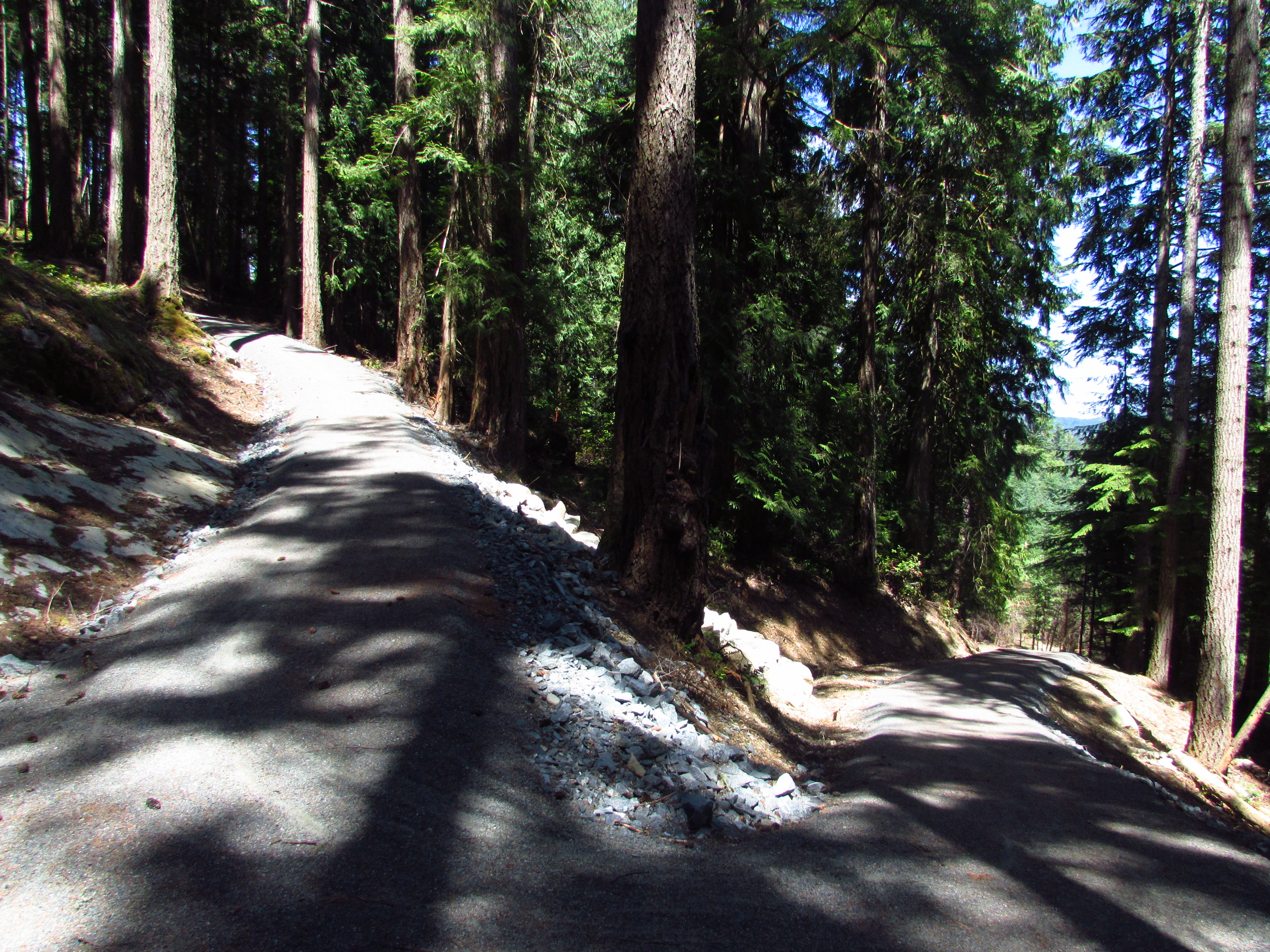
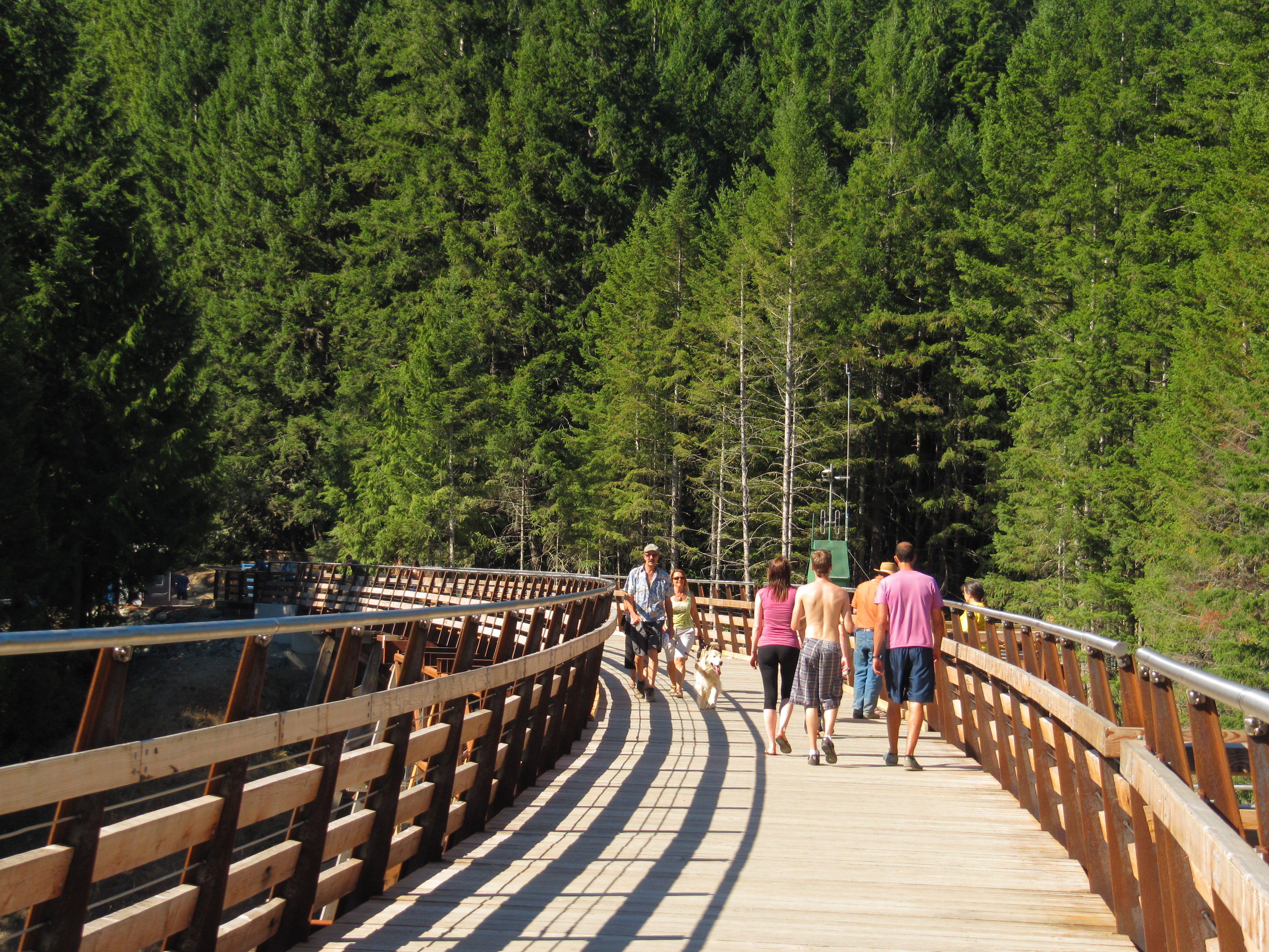
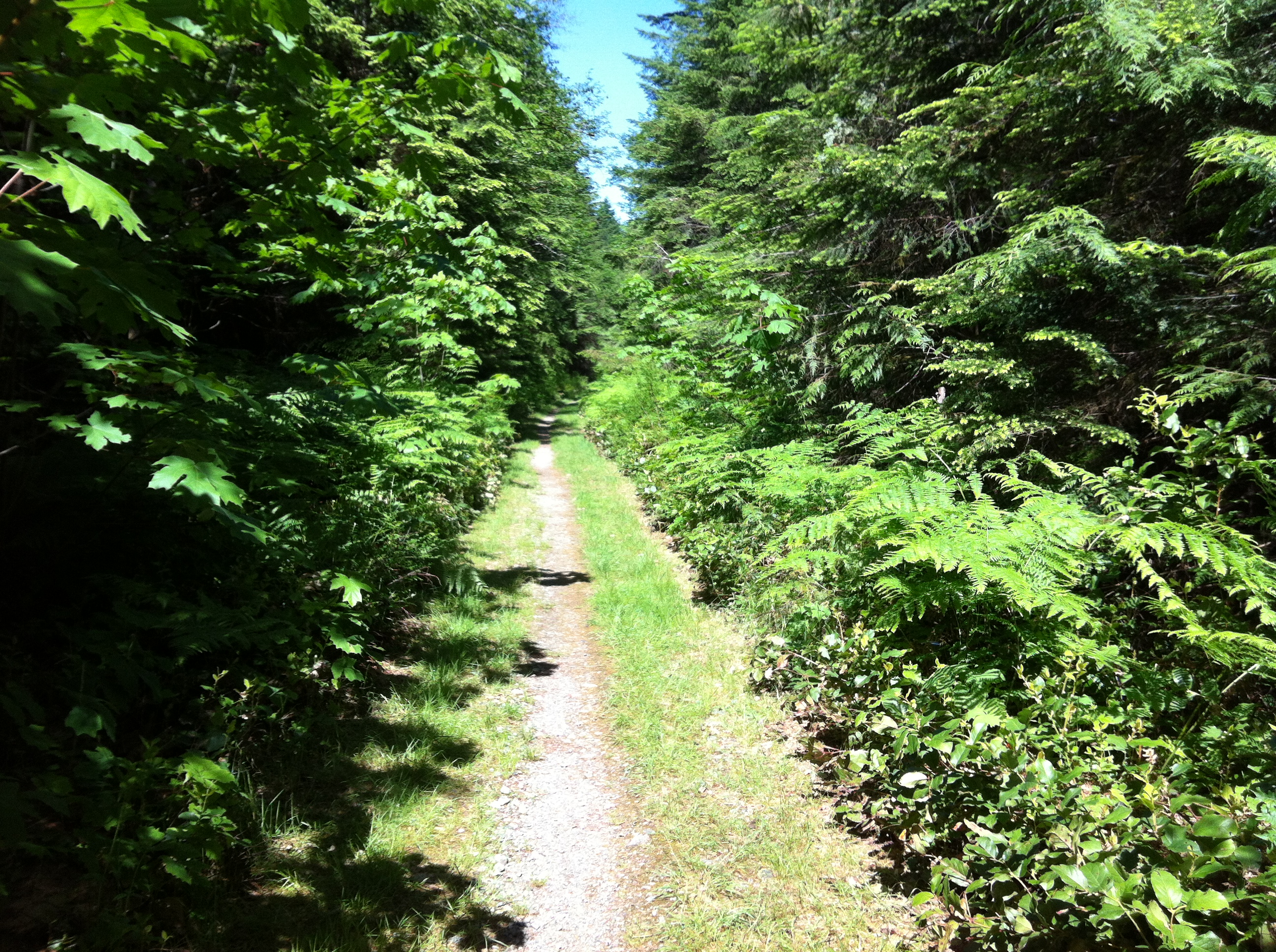
The Cowichan Valley boasts the highest mean temperatures in Canada and its rainforests are home to some of the world’s tallest trees. The Trans Canada Trail travels through these forests, primarily following rail trails. The route is easy to follow and accessible to virtually all levels of physical fitness. The trail surface is mostly well packed finely crushed gravel and is easy to ride, walk or jog along. Equestrian use is permitted in many areas, but not everywhere. The trail also passes through quaint seaside villages such as Saltair, Chemainus and Ladysmith. The region’s hub of activity centres around the city of Duncan.
An important note about the route between Shawnigan Lake south to Victoria; the route over the Malahat involves some very challenging climbs. For cyclists hauling trailers or panniers, it may well be in your best interests to use our Bypass Route, particularly for those travelling south (the grades between Sooke Lake Road and the CRD watershed are especially tough in this direction. The bypass route will lop off a great deal of Trans Canada Trail, including about 13 km of perfectly pleasant rail trail along Shawnigan Lake, but it uses a combination of fairly quiet roadways, urban trails and a nice ferry ride. At the north end, it connects to the Cowichan Valley Trail at the NW corner of Shawnigan Lake on Renfrew Road. At the south end, it connects to the Galloping Goose just north of downtown at Interurban Road.
Staging Areas:
GPS INFORMATION:
- KML/KMZ files can be opened in Google Earth, and many smartphone apps.
- GPX files can be opened by most GPS software apps when KMZ cannot. Note, GPX files do not contain custom colours and icons that we use on our maps; all tracks and icons will appear the same colour and styles. We recommend using KMZ instead of GPX if possible.
The files below include data for only this specific area. For all of our Trans Canada Trail data for the entire province (including features, campsites and alternate routes), download our BC.kmz master file (1.2 MB)
Visit our GPS & Navigation page for instructions of how to use your smartphone as a GPS device (even when outside of data coverage) or how to import data to your Garmin unit.
GPS DOWNLOAD (KMZ FILE)
GPS DOWNLOAD (GPX FILE)
DOWNLOAD INFORMATION SHEET
Staging Areas:
Washrooms:
Route Highlights:
The trail in this region utilizes quite a bit of CN and CP abandoned rail lines and includes several restored trestle bridges, some offering magnificent views of the rivers they cross. The most spectacular, the curved Kinsol Trestle is the crowning gem of the region. It was built in 1921 and is the largest and highest of its kind in the Commonwealth. Though closed and abandoned for many years, the Trans Canada Trail Foundation and partners throughout the region came together to oversee its restoration. Through teamwork and sheer determination, the Kinsol Trestle was opened to the public during the summer of 2011.
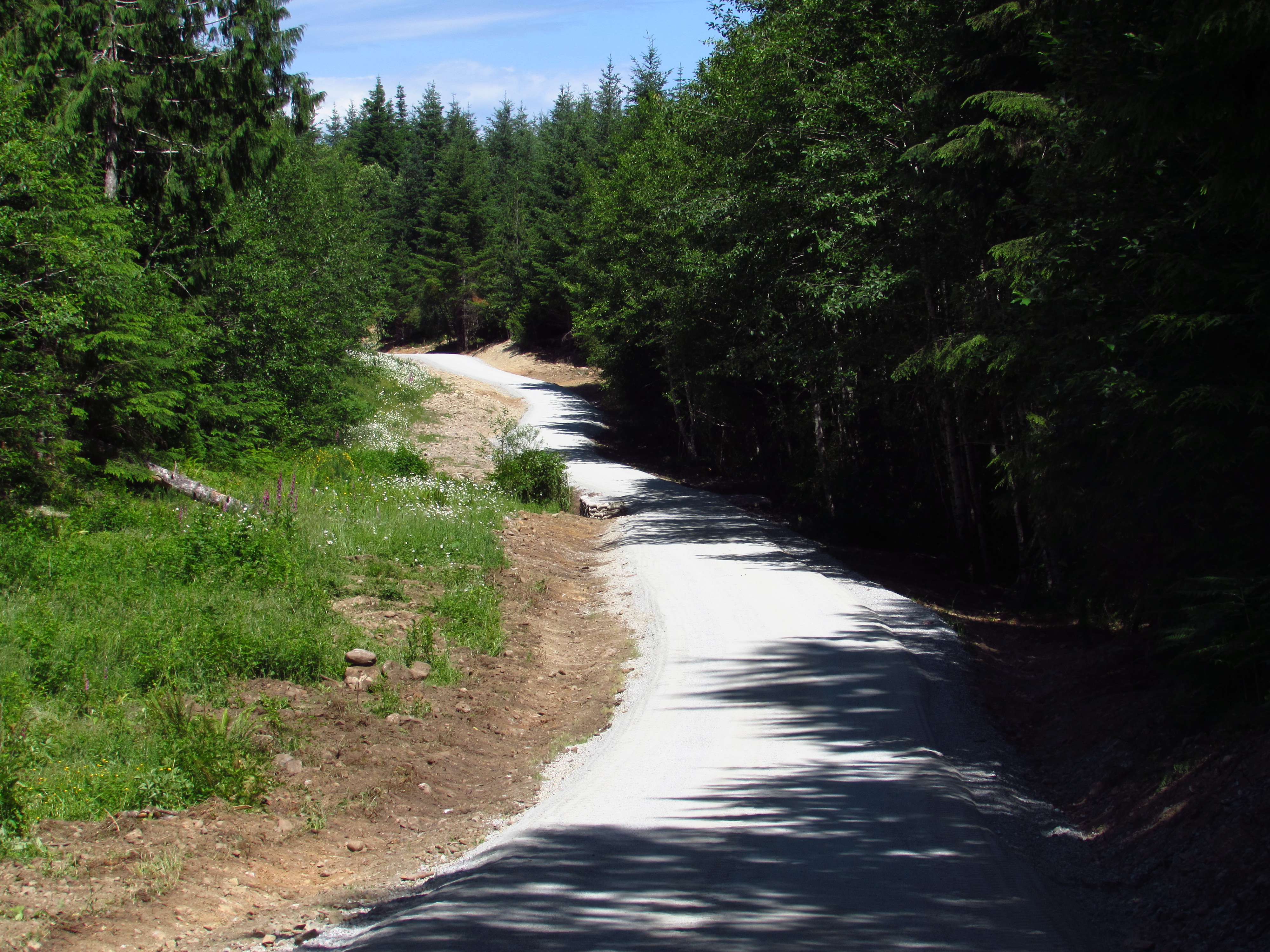
North of the trestle, the trail winds its way through Cowichan River Provincial Park. A favorite stop here is at the Marie Trestle with its outstanding views – you’ll probably hear hoots of pleasure from people floating down the river below on inflatable tubes. An excellent trail map is offered by the Cowichan Valley Regional District (CVRD). A new rail track link was recently established by the CVRD from Cowichan Lake to Duncan in the spring of 2011.
Additional trail segments from Duncan to Ladysmith include vast sections of “Rail with Trail” that runs alongside the E&N Railway. More developments will occur over time, post-2017.
The award-winning mural town of Chemainus is located along the Trans Canada Trail. The town of Duncan boasts the BC Forest Discovery Center which highlights BC’s logging railway heritage. Ladysmith is a great place to spend the night or to stop for lunch and supplies.
DOWNLOAD INFORMATION SHEET
Shopping:
Accomodations:
Transportation:
Related Links:
Vancouver Island (Shawnigan Webservices Inc., tourism-related business listings)
Cowichan Tourism Association
Kinsol Trestle
Chemanus Murals
Directions:
DOWNLOAD INFORMATION SHEET (PDF)Northbound Directions:
For those travelling north through the Cowichan Valley Regional District, the official trail route enters in the south (from the Capital Regional District) near the summit of the Malahat height of land (also known as the Warwick Range). For those coming from Victoria, this involves a massive climb north on the Sooke Hills Wilderness Trail. If you’re reading this because you’ve already travelled that trail and find yourself at the CRD/CVRD boundary – good for you! The hardest part is certainly over.
However, for those planning ahead, be well advised – the route north from Victoria is incredibly challenging for cyclists, particularily those hauling trailers or panniers – the trail surface is decent but the climbs (and there are several) are very steep. For those planning a future trip, please consider using our Bypass Route to get around the Malahat – it connects in the south near downtown Victoria and uses urban trails and fairly quiet roads (as well as a ferry) to access the Cowichan Valley Trail on the northwest corner of Shawnigan Lake. Yes – you do miss a great deal of the Trans Canada Trail – but it may be a very wise decision for all but the toughest and most stubborn cyclists.
So… if you’re sticking to the main trail, please read on!
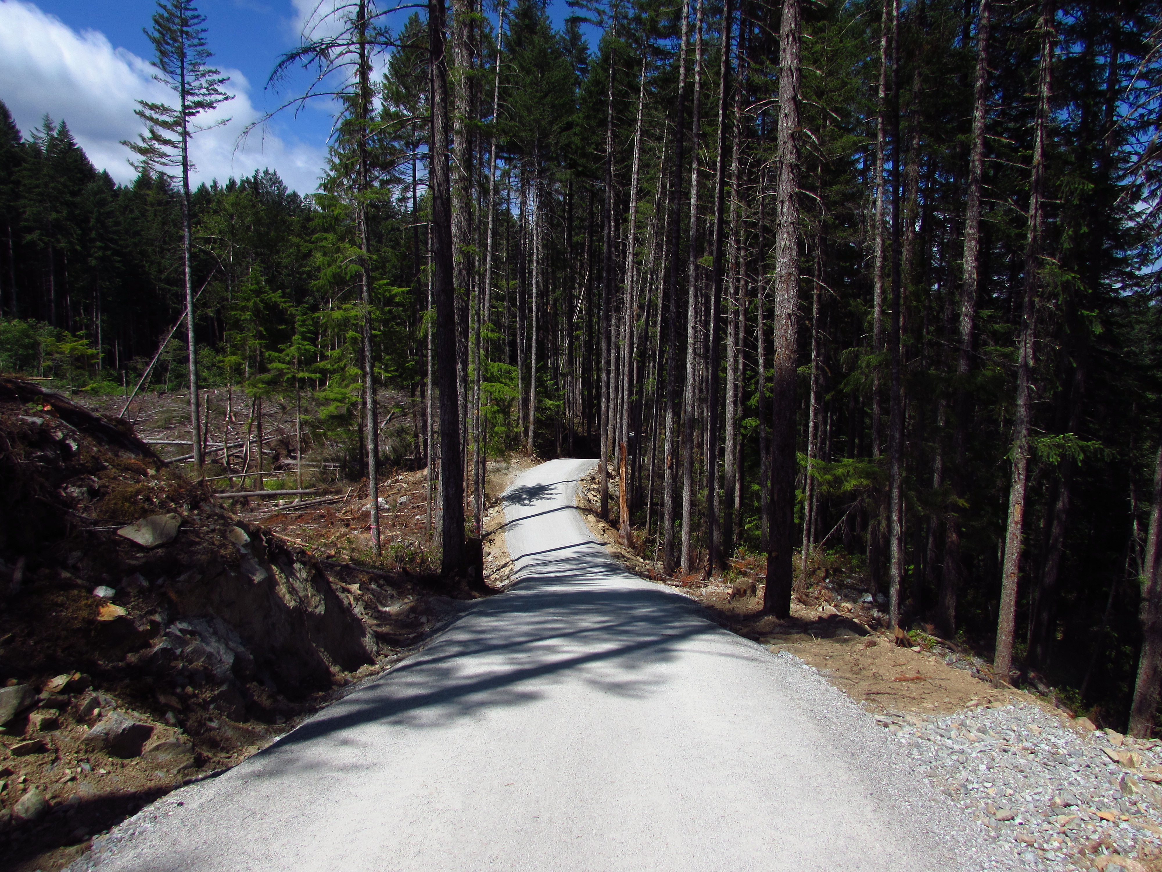
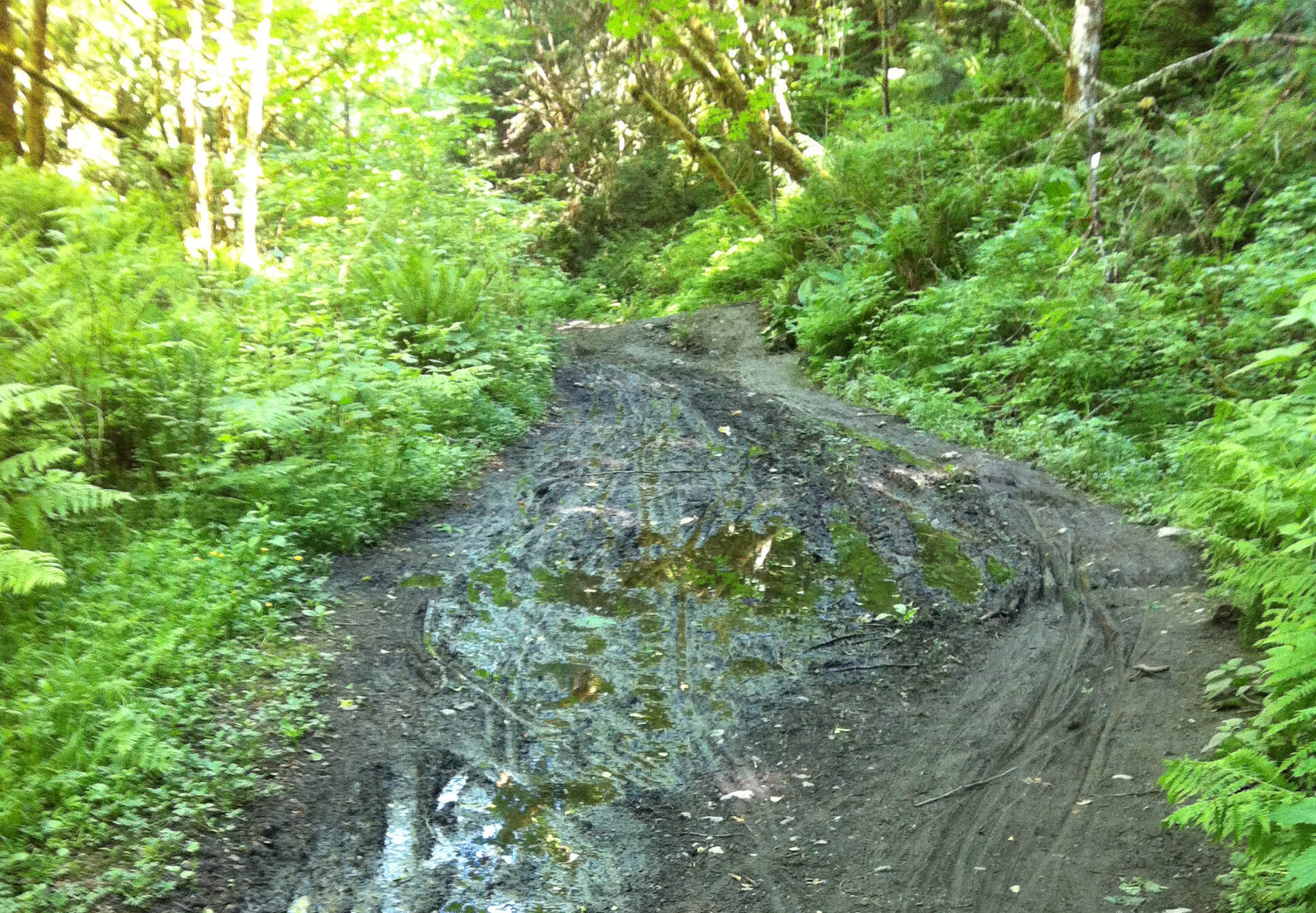
At the CRD/CVRD boundary, an information kiosk provides mapping and information about the trails. Continue north on the trail, descending down, down, down into the valley. After about 4.5 km, you will reach Stebbings Road. Crossing the road, the trail continues – and also descends – for about another 4 kilometres. The well graded trail ends at a service road. Turn right, and the road reaches a paved road – Sooke Lake Road. Turn left, climb up a short hill for about 20 metres, and a parking lot will be on the right. This is where you can start to ride on nice, flat rail trail! There will be 13 km of it to start, running along the western shore of Shawnigan Lake. The trail will then cross Renfrew Road.
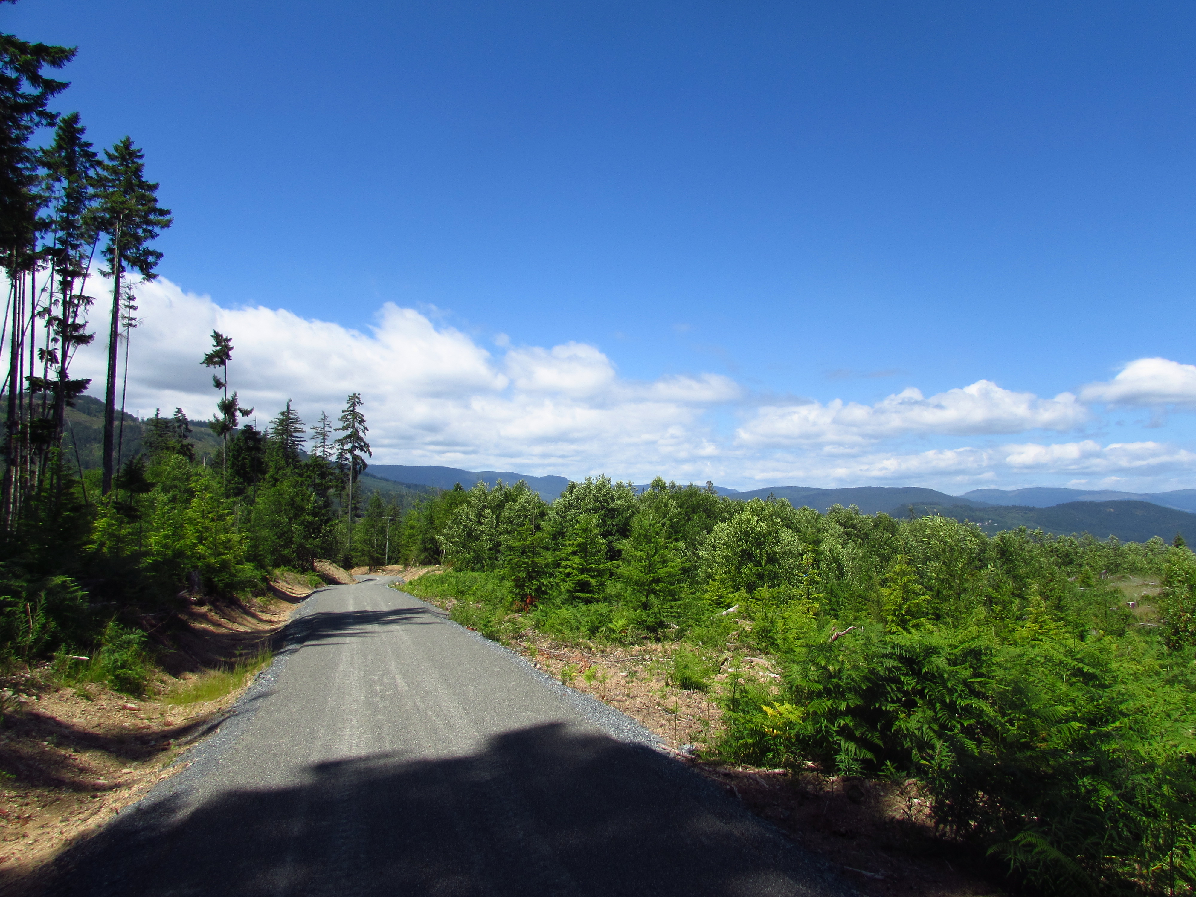
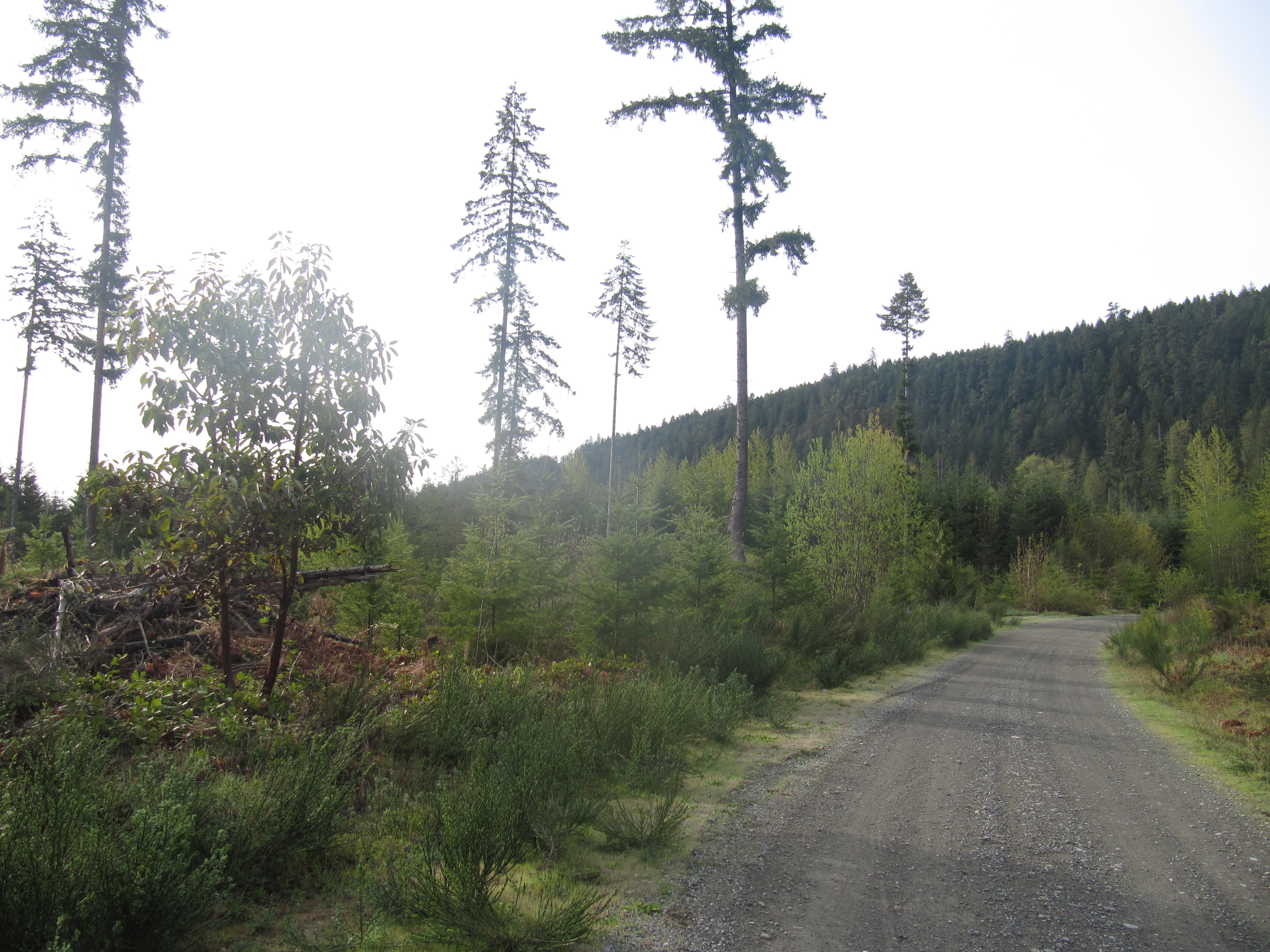
Travelling north, after 2 km you’ll arrive at the Kinsol Trestle. The trail continues north, and begins to curve westward. From the trestle, it’s 36 km of forested rail trail until reaching the westernmost point of the Trans Canada Trail at Lake Cowichan. At this point, the TCT separates from the Vancouver Island Spine Trail, which when complete will travel 700 km all the way to Cape Scott!
At Lake Cowichan, the trail route basically turns 180 degrees; it heads east back towards Duncan. It crosses the Cowichan River and travels 27 km along the north bank of the river, roughly parallel to Highway 18 and crosses Cowichan Lake Rd several times. When approaching Duncan, the trail splits, and the TCT takes the fork to the LEFT, leaving the rail corridor and heading north, immediately crossing a small bridge. On the right, the trail continues for 800 metres, passing under Cowichan Lake Rd and ending at Sherman Rd. This route is being developed as a spur into the city centre.
We hope you took the fork to the left – and if so, the gravel trail begins to follow the gas pipeline towards Somenos. The trail ends abruptly 2.5 km later at the golf course. Turn right on Johnston and proceed to Somenos Rd, turning left to head north.
Turn right onto Highway 18 and travel east, crossing the highway. From here, there are two bypass routes which can be followed. Either turn north on Bell McKinnon Rd, which is a straightforward route to Chemainus Road. However, the official TCT route continues east on Herd Road for 5.8 km, then turns north on Osbourne Bay Road, passing through Crofton, before reaching Chemainus Road – turn right on Chemainus Road. This latter route is longer but provides a wider shoulder and connects to the ferry terminal for Salt Spring Island.
Heading north on Chemainus Road, the Cowichan Valley Trail appears again along the E&N railway, starting at Crozier Road and continues north to Cook Street. From Cook, one must follow the main roadway north to Stocking Creek (200 metres north of Saltair Road). This road heading west travels to parkland, where a wooded trail crosses Stocking Creek, climbing uphill to meet a new section of E&N rail trail. Consult the map for exact directions! The rail trail runs for a brief length until once again meeting the main road (Highway 1A aka Chemainus Road)
From North Watts Road, the trail is a bike lane along Chemainus Road all the way to North David Road where you will cross the Trans Canada Highway. Stay on the southbound shoulder, where a trail runs north, separated from the highway by a barrier, crossing Holland Creek using the highway bridge pedestrian walkway, then climbs uphill to the streets of Ladysmith on Bayview Ave. If stopping for lunch or hauling heavy gear on your bike, you might want to continue north on 1st Ave into town – this connects with the trail on the north side of town and is less complicated!
To stay on the TCT, turn right on Methuen St. When it ends at the highway, find the trail heading south, leading downhill to a tunnel under the highway. You will now find yourself in Transfer Beach Park on the waterfront, where the trail follows Transfer Beach Boulevard, then turn right onto Oyster Bay Drive, headed north to a car park on the right. From here, walkers can use a short stretch of quiet rail trail, but bicyclists might find it difficult to exit the trail (there are stairs at the northern end) so we recommend to ride along the quiet roads parallel to the rail trail.
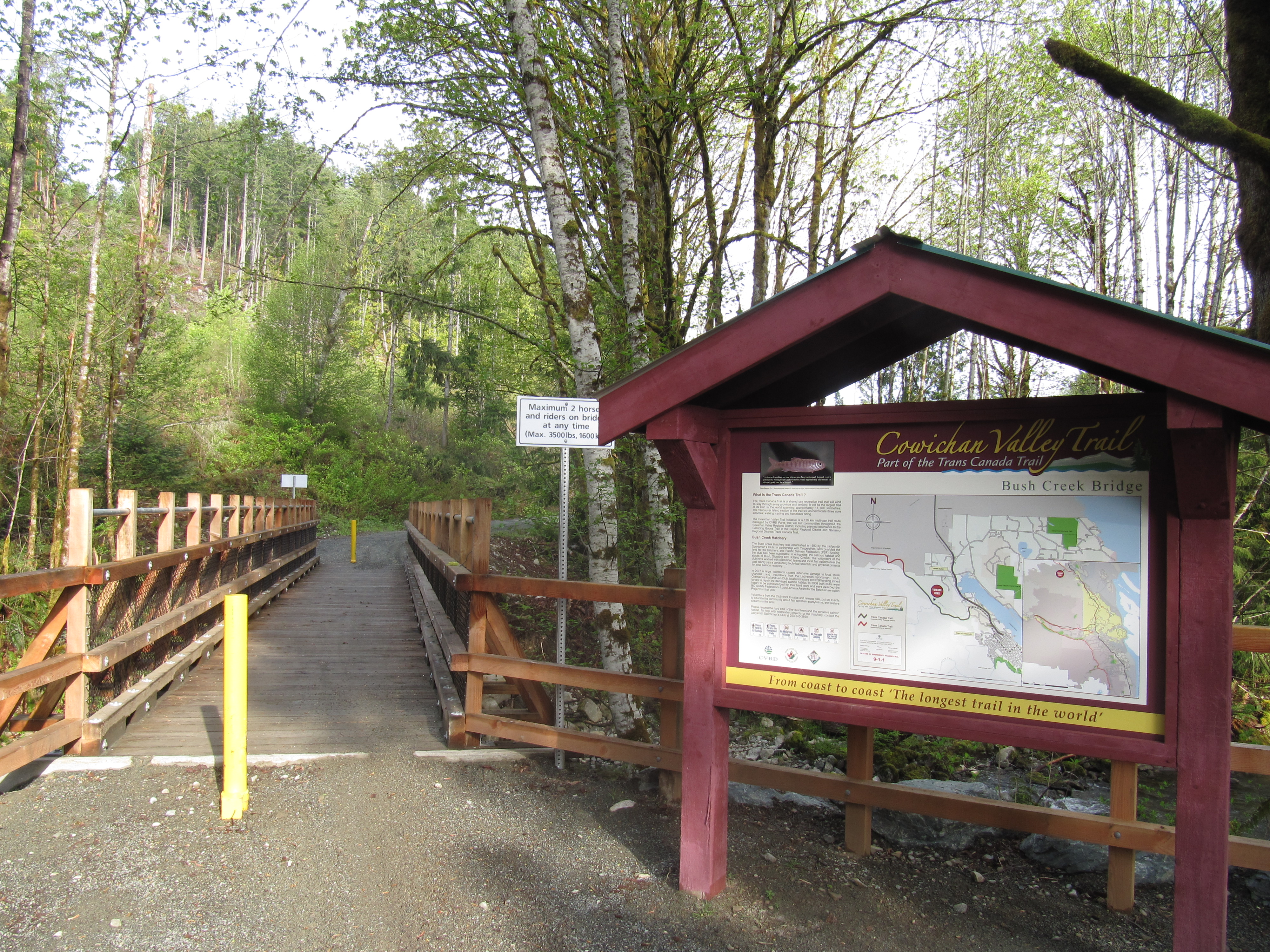
At the northern edge of town, the trail leaves Rocky Creek Road, turning left onto 1st Ave to cross the highway. Climbing uphill to the roundabout, turn right onto Symon St, the immediately right onto 2nd Ave, continuing to Strathcona St (turn left), then turn right onto Christie Road, which runs for 2.4 km, winding 180 degrees uphill. A blue gate on the right indicates a fomer logging road where the Cowichan Valley Trail continues downhill, heading north past the fish hatchery and over the Bush Creek bridge. From here, it is easy to navigate the trail to Timberlands Road, where the Cowichan Valley Trail ends – and the regional district of Nanaimo begins!