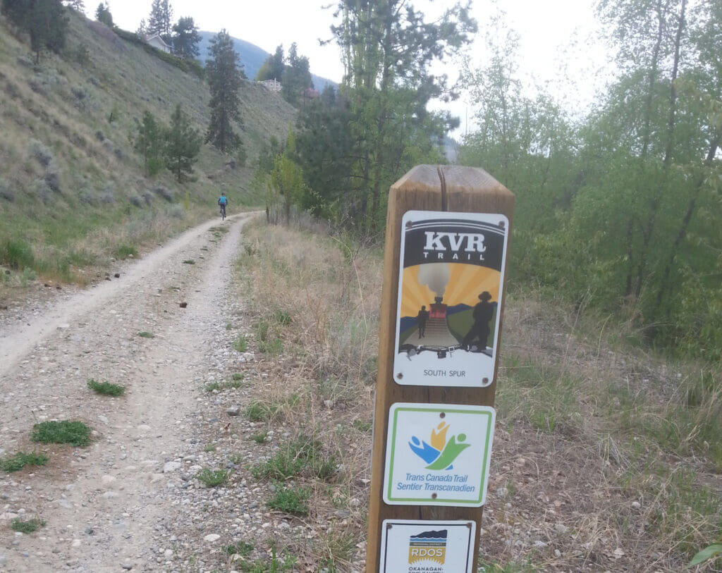
A 56 to 60 km one-way journey between Penticton and Osoyoos; definitely a challenging one-day round trip given the rough trail surface in some areas We recommend staying the night in Osoyoos. The portion from Penticton to Okanagan Falls and back is a lovely day trip (44 km return), and the section from Oliver to Osoyoos and back is also a great day trip (60 km return).
Staging Areas:
- Parking can be found in Penticton. Pay parking near Lake Okanagan can suit the bill – otherwise parking in the summer months can be tricky.
- Parking in Okanagan Falls can be found at Lions Park
- A large underused parking lot north of Oliver, marked on our maps, seems to be free of restrictions at this time
- Parking is available just north of Osoyoos near the southern trail terminus of the Hike & Bike Trail along the canal
- Parking is available in Osoyoos but may be challenging to find at times
GPS INFORMATION:
- KML/KMZ files can be opened in Google Earth, and many smartphone apps.
- GPX files can be opened by most GPS software apps when KMZ cannot. Note, GPX files do not contain custom colours and icons that we use on our maps; all tracks and icons will appear the same colours and styles. We recommend using KMZ instead when possible.
- GPX-Garmin are GPX files that we have optimized for older Garmin units that only display tracks that contain 500 points or less (such as Garmin eTrex units).
Visit our GPS & Navigation page for instructions of how to use your smartphone as a GPS device (even when outside of data coverage) or how to import data to your Garmin unit.
GPS DOWNLOAD (KMZ FILE)
GPS DOWNLOAD (GPX FILE)
DOWNLOAD INFORMATION SHEET
Staging Areas:
- Parking can be found in Penticton. Pay parking near Lake Okanagan can suit the bill – otherwise parking in the summer months can be tricky.
- Parking in Okanagan Falls can be found at Lions Park
- A large underused parking lot north of Oliver, marked on our maps, seems to be free of restrictions at this time
- Parking is available just north of Osoyoos near the southern trail terminus of the Hike & Bike Trail along the canal
- Parking is available in Osoyoos but may be challenging to find at times
Washrooms:
Public toilets can be found at the side of the trail at Oliver Station
Route Highlights:
- Urban trails in Penticton, especially scenic along Okanagan Lake shore
- Stunning scenery on the rail trail along Skaha Lake
- Cool, shady sections of trail near Oliver Station
DOWNLOAD INFORMATION SHEET
Shopping:
Groceries are best found in Penticton, the largest service center of the area.
Accomodations:
A variety of accommodations can be found in the region, but camping can be expensive and books up early in the season. Inkaneek Provincial Park is shown on our maps. Bed & Breakfasts are available throughout the area.


