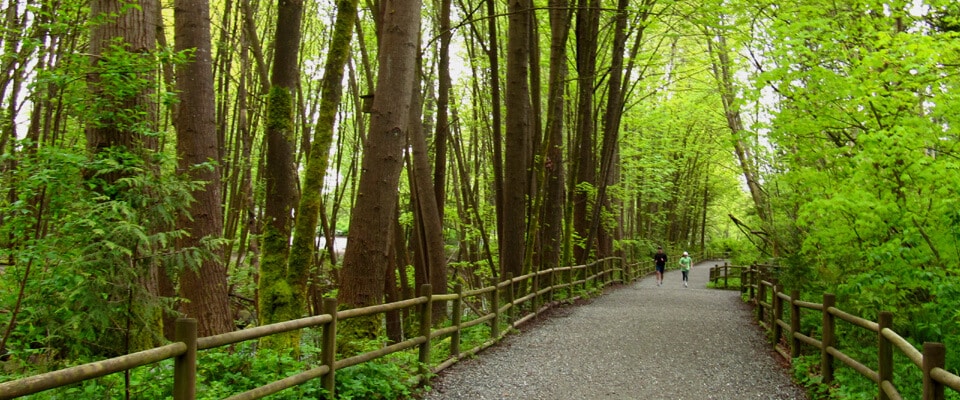
Trails BC’s Boundary region of the Trans Canada Trail lies entirely on rail trails. Starting from the west, the region connects with the Okanagan at the height-of-land between McCullough and Summit Lakes on the Kettle Valley Railway, just east of the Myra Canyon. This portion of the KVR runs about 125 km – almost directly south – to the town of Midway. At Midway, the KVR ends and the Columbia & Western Railway (C&W) begins. This rail trail travels about 77 km east to Christina Lake. After a lengthy public consultation process, the section between Nursery Trestle east of Grand Forks, 17 km to Cascade Trestle was designated through legislation, non-motorized and eligible for an upgrade to improved trail surface. This surface is ideal for walking and cycling and is accessible for everyone. For an update on the work the Grand Forks Community Trails Society is doing on this section of rail trail, click here. Beyond, the TCT continues north on the C&W, gradually gaining elevation for another 35 km to the height-of-land at Farron Summit, where the Boundary region meets the West Kootenay region. The C&W continues another 45 km to Castlegar. The rail trail corridors are owned by the Province of BC’s Ministry of Forests, Lands and Natural Resource Operations (MFLNRO), administered by the Recreation Sites and Trails BC department, which oversees trails, recreational sites and campsites on crown lands and other provincial land assets (excluding Provincial Parks). The trail was passed on to the province by CPR with the vision of creating a non-motorized cross-country rail trail experience, particularly for bicyclists. Trail conditions along the KVR and C&W are constantly changing and hard to predict – uncontrolled access to the trail by motorized vehicles in recent years has led to a major deterioration of the trail surface, and until a plan is implemented to solve this issue, trail users are encouraged to plan ahead for a challenging – but overall rewarding – journey. We highly recommend bicyclists to use sturdy equipment on the trail. Mountain bikes are best, but a sturdy hybrid will be much lighter – an important factor when traveling long distances. Front suspension isn’t necessary, but it can increase comfort on bumpy washboard sections. Tire width should be a minimum of 35-38mm, and wider tires (though slower) will be helpful when encountering deep sand. As a former railway, steep inclines are virtually non-existant. Snow can stick to the trail near Farron (north of Christina Lake and the Paulson bridge) into mid May on north-facing slopes. We recommend wearing gloves (in addition to a helmet of course), as cyclists can lose their balance on soft sand and take the odd tumble – cuts on your palm can be painful during a multiple-day ride! As an alternative to the C&W from Christina Lake to the West Kootenay region, most hikers, equestrians and even some mountain bikers may choose to travel east for 37.5 km towards Rossland on part of the historic Dewdney Trail for a more backcountry experience. Trail conditions vary depending on maintenance, but users should expect a more challenging journey compared to the rail trail. The Dewdney is not designated as part of the Trans Canada Trail. The Dewdney is not suitable for bicyclists loaded with trailers or panniers, but there is another option; travelling parallel to the Dewdney (and indeed crossing it a few times) is the Cascade Highway. Don’t let the name mislead you; this is not a modern-day highway! The Cascade replaced the Dewdney in 1922 (but was itself replaced by Highway 3). However, the Cascade can be tackled with a hybrid bicycle or a well equipped support vehicle, preferably with 4WD. Travellers should still be prepared for challenging road conditions and a long dusty trip. Along this southern corridor, the Boundary region meets the West Kootenay region along the Dewdney Trail at the height-of-land at Santa Rosa Summit.
Boundary Region


