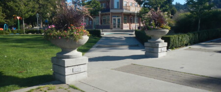
While the Trans Canada Trail in the Lower Mainland is essentially in place, planners across the Southwest Region are still collaborating in a variety of ways to ensure the Trail’s continuity or integrity. As time goes on, the Lower Mainland communities increasingly find ways to add interest to the Trans Canada Trail by adding or enhancing features and to enrich the discovery process such as the integration of the Trans Canada Trail into the Experience the Fraser Project.
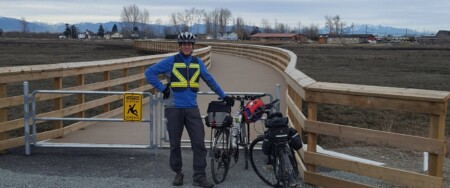
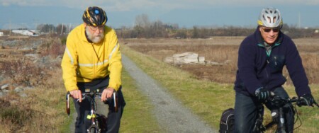
The Southwest Region has much to offer to the Trans Canada Trail enthusiast in its more than 600-kilometre section including alternates for cycling and equestrians. Some of the features of the Trail in the Lower Mainland include:
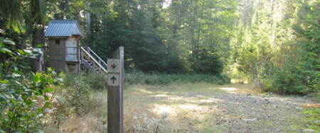
- the Seaview Walk out of Horseshoe Bay, a forest mountain trail on the North Shore Mountains to the Cleveland Dam, the Capilano Regional Park, and Mosquito Creek to the SeaBus on the North Shore;
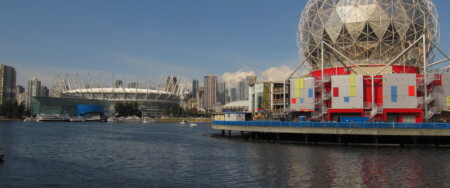
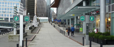
- Coal Harbour, Lost Lagoon, English Bay, South False Creek, Chinatown, and New Brighton Park in the City of Vancouver;
- the parks along the Burnaby Burrard Inlet Escarpment and Burnaby Mountain Park in Burnaby;
- Moody Inlet, Rocky Point Shoreline Park, Lafarge Lake, Coquitlam River Park, the PoCo Trail, and the Pitt River in the TriCities;
- The Pitt River, Alouette River and Fraser River Greenways, in Pitt Meadows;
- the Fort-to-Fort Trail in Langley
From Horseshoe Bay, we have added a Trans Canada Trail water route that travels on the Howe Sound to Squamish, as well as west to Gibsons. The Sea-to-Sky Corridor presently stretches from Squamish to Whistler and soon to Pemberton. Pristine lakes, canyons, and waterfalls are a few of the features experienced on this more adventurous trip.
The Trans Canada Trail in the Southwest Region offers a myriad of connections to another important city, regional and provincial parks, and a number of trail loops and alternative routes, many of which are described on our website.
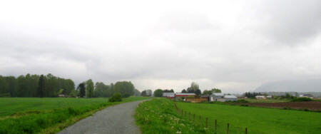
The experiences offered along the Southwest Region are remarkably rich and varied. Natural seashores, salmon-bearing streams and hatcheries, working forests and rivers, first and second-growth forests, rain and alpine forests, marshland and polders, farmland, meadows, bird sanctuaries, cultural and heritage opportunities, spectacular vistas, mountains, valleys, waterways, and major water crossings are some of the unforgettable experiences to savour.
While the whole trail can be cycled over a variety of terrain some of it is better experienced on foot; in fact, Horseshoe Bay to Fort Langley is best travelled on foot.