


On the North Shore there is a separate hiking and a cycling route from Horseshoe Bay to the exit of Capilano Regional Park on Capilano Road in North Vancouver.
HIKERS
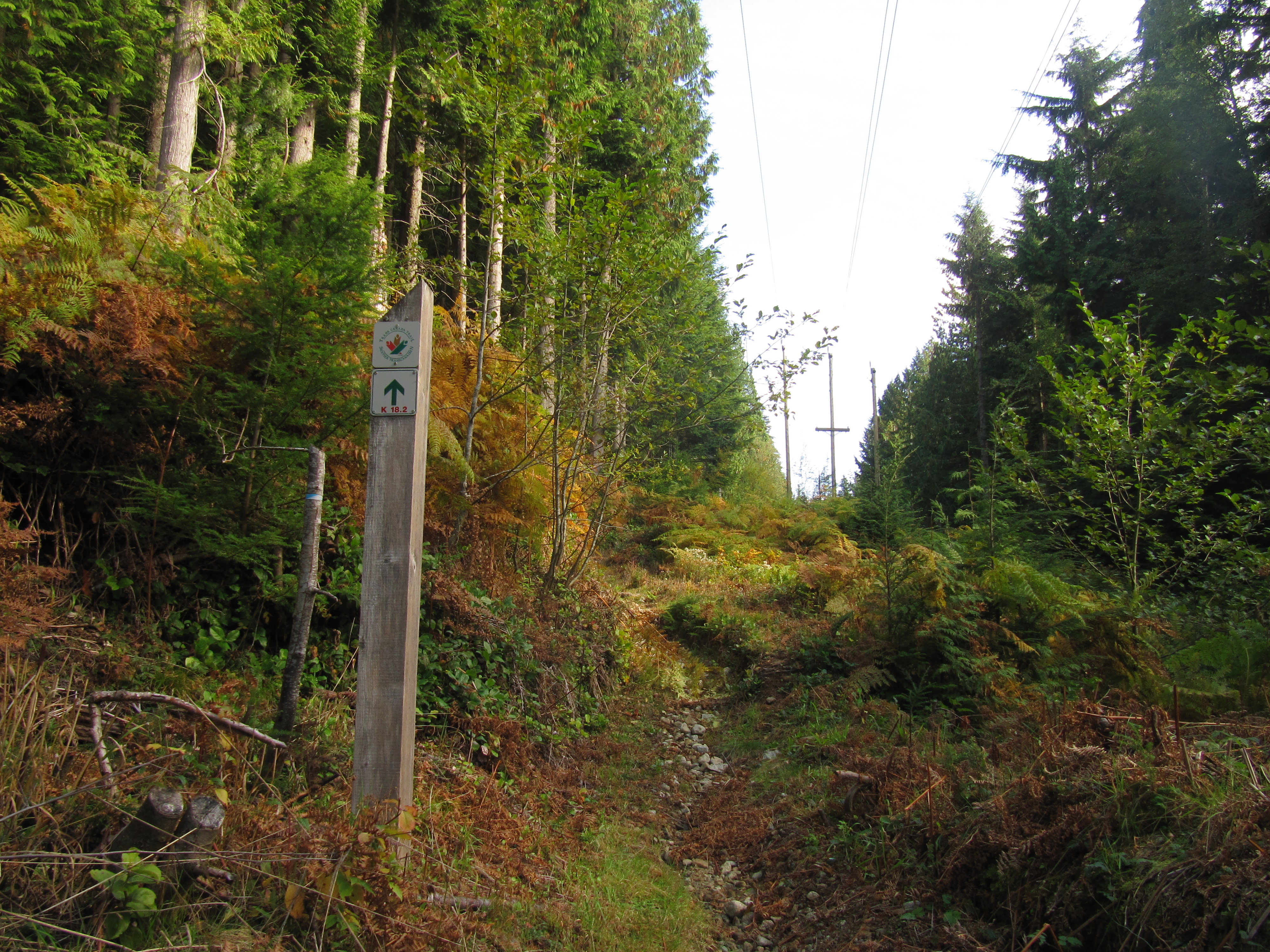
Those hiking the upper main route should realize that there are no amenities along the Trail for about 26 km from Gleneagles Golf Course/Community Centre in Horseshoe Bay to the Capilano Regional Park. Anyone undertaking this trek must be in good physical condition and must carry water and food along with other hiking provisions. Be prepared for changes in weather and possible encounters with bears at all times.
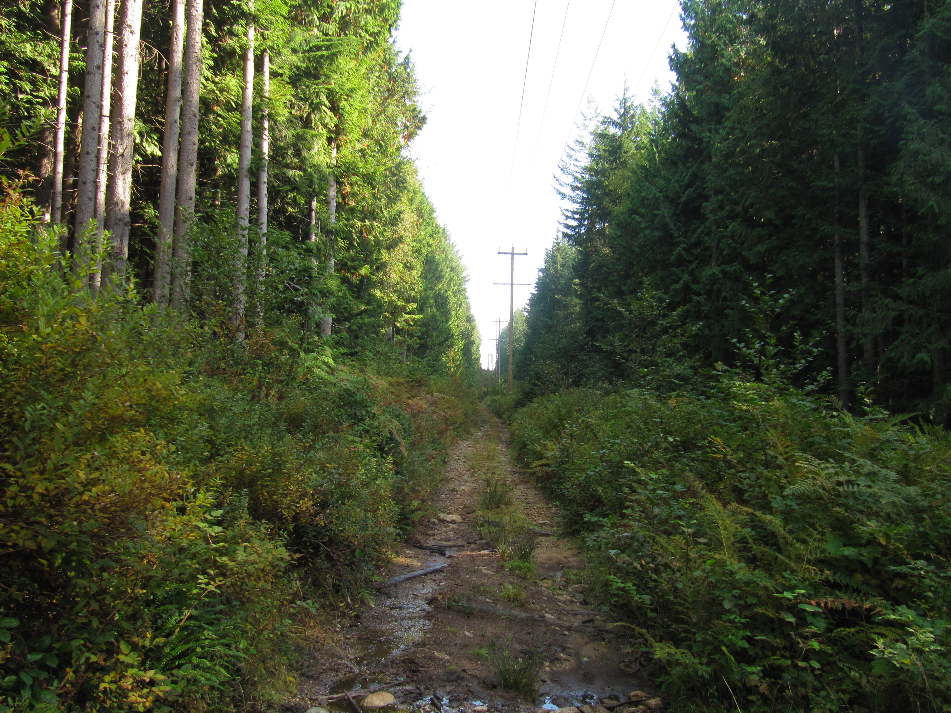
From Horseshoe Bay/Nelson Creek to Eagle Lake access road, the route heads to the Skyline Trail via the Cypress Creek Trail within easy access to the the ski areas on Cypress and Hollyburn Mountains in Cypress Provincial Park. Note that at the top of the Cypress Creek Trail, it is a short hike to the Cypress Mountain Ski facilities that can also be used as a staging area and where many other trails can be explored such as the Baden Powell Trail and the start of the Howe Sound Crest Trail.
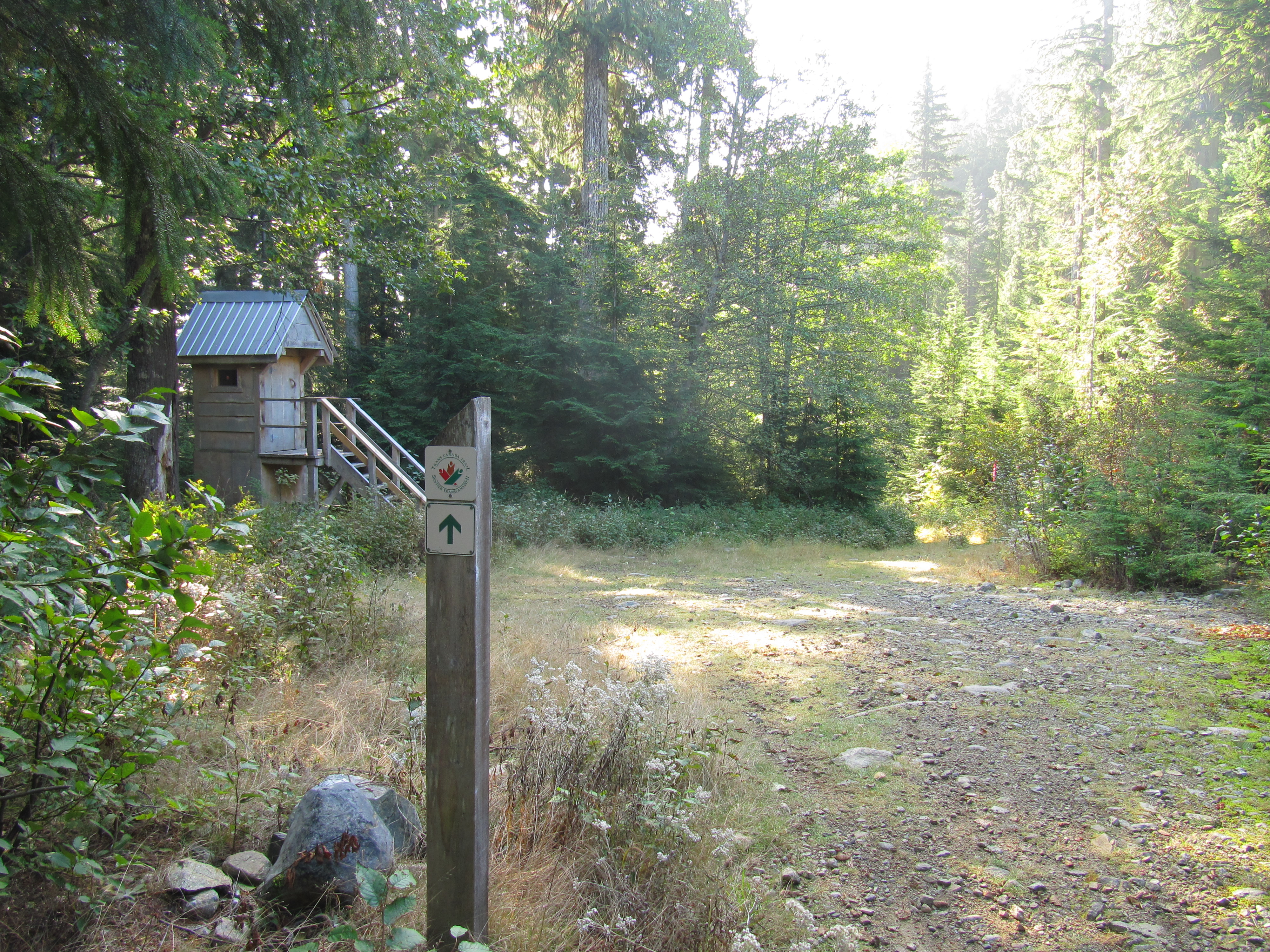
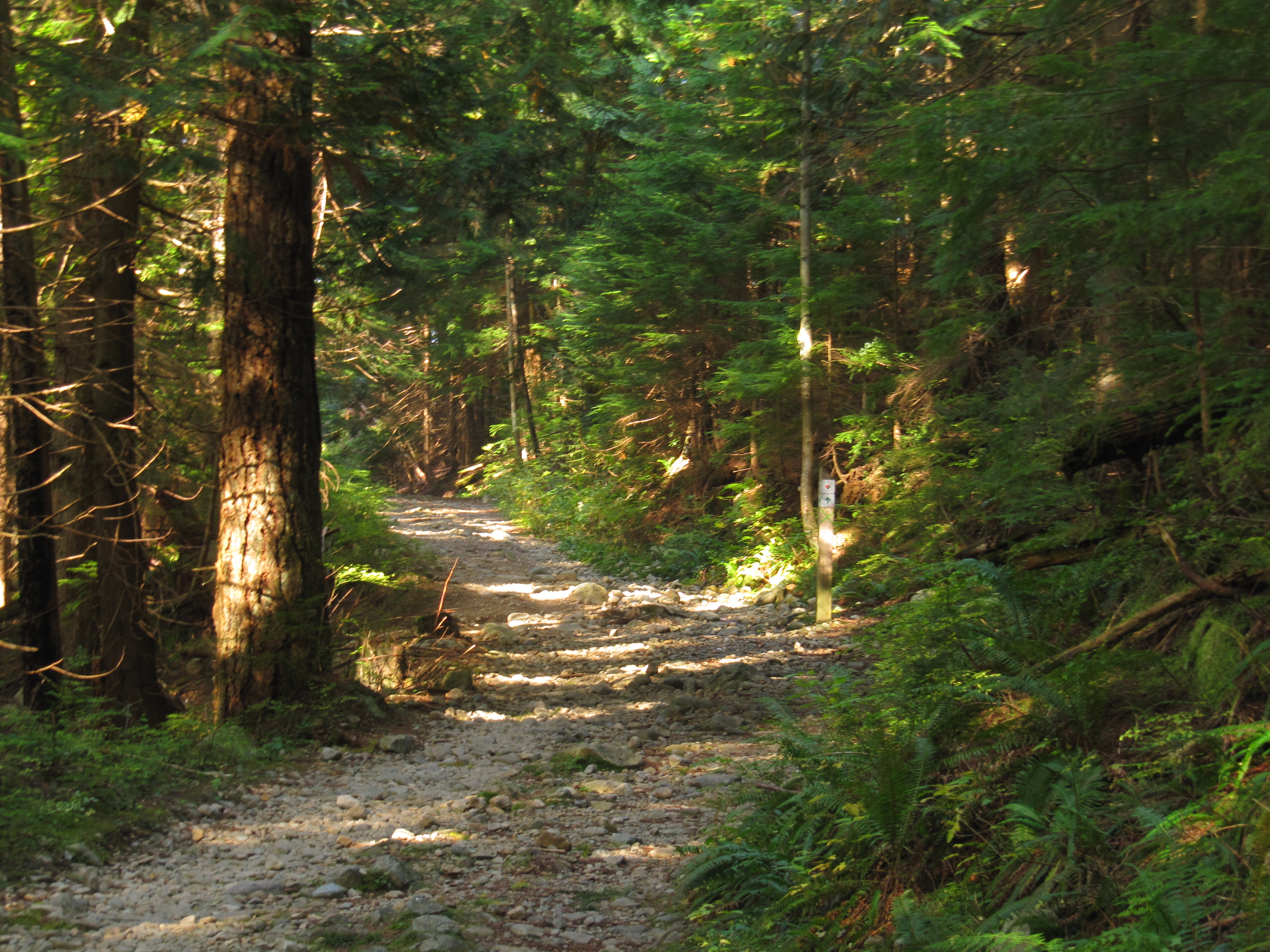
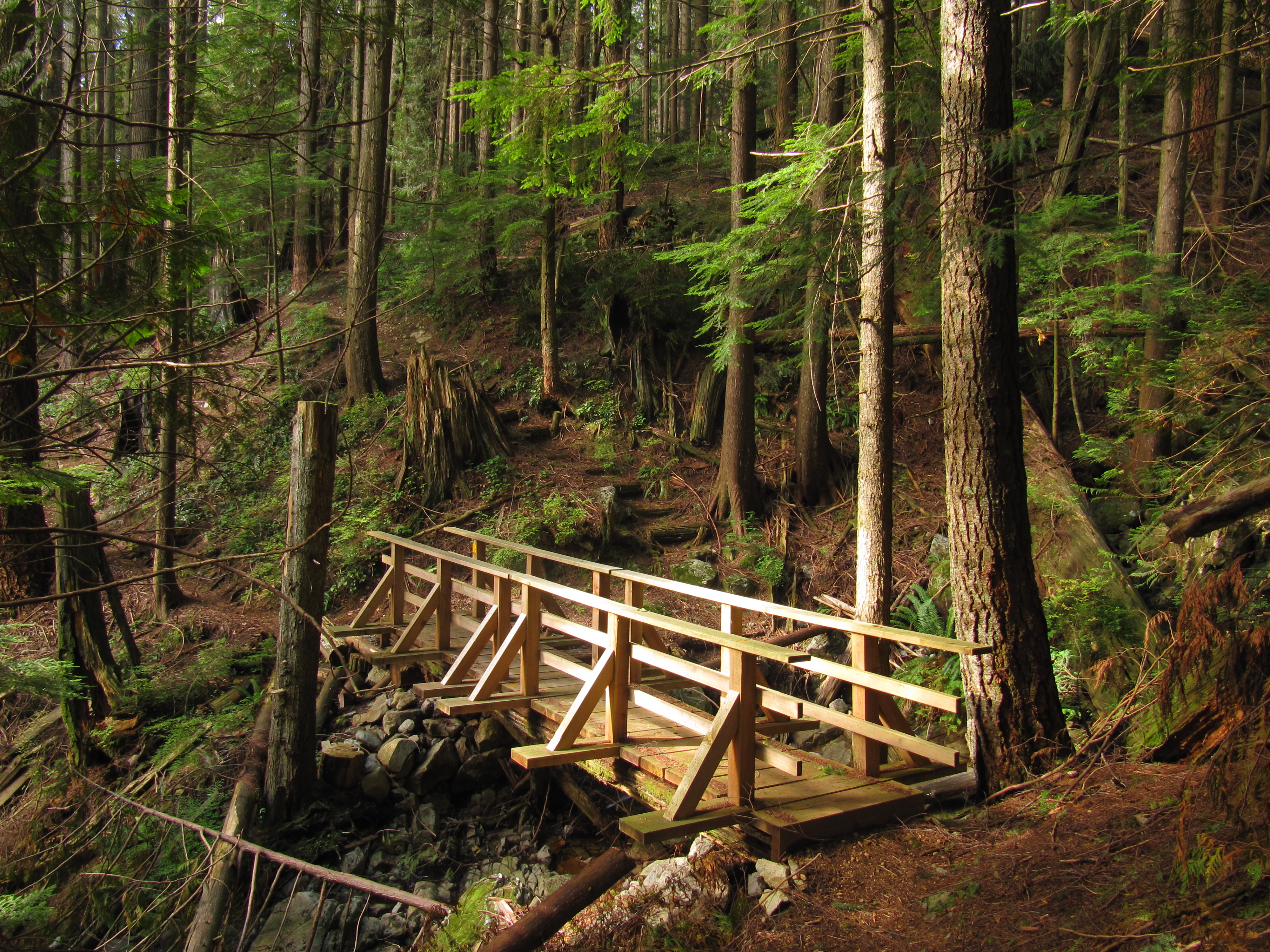
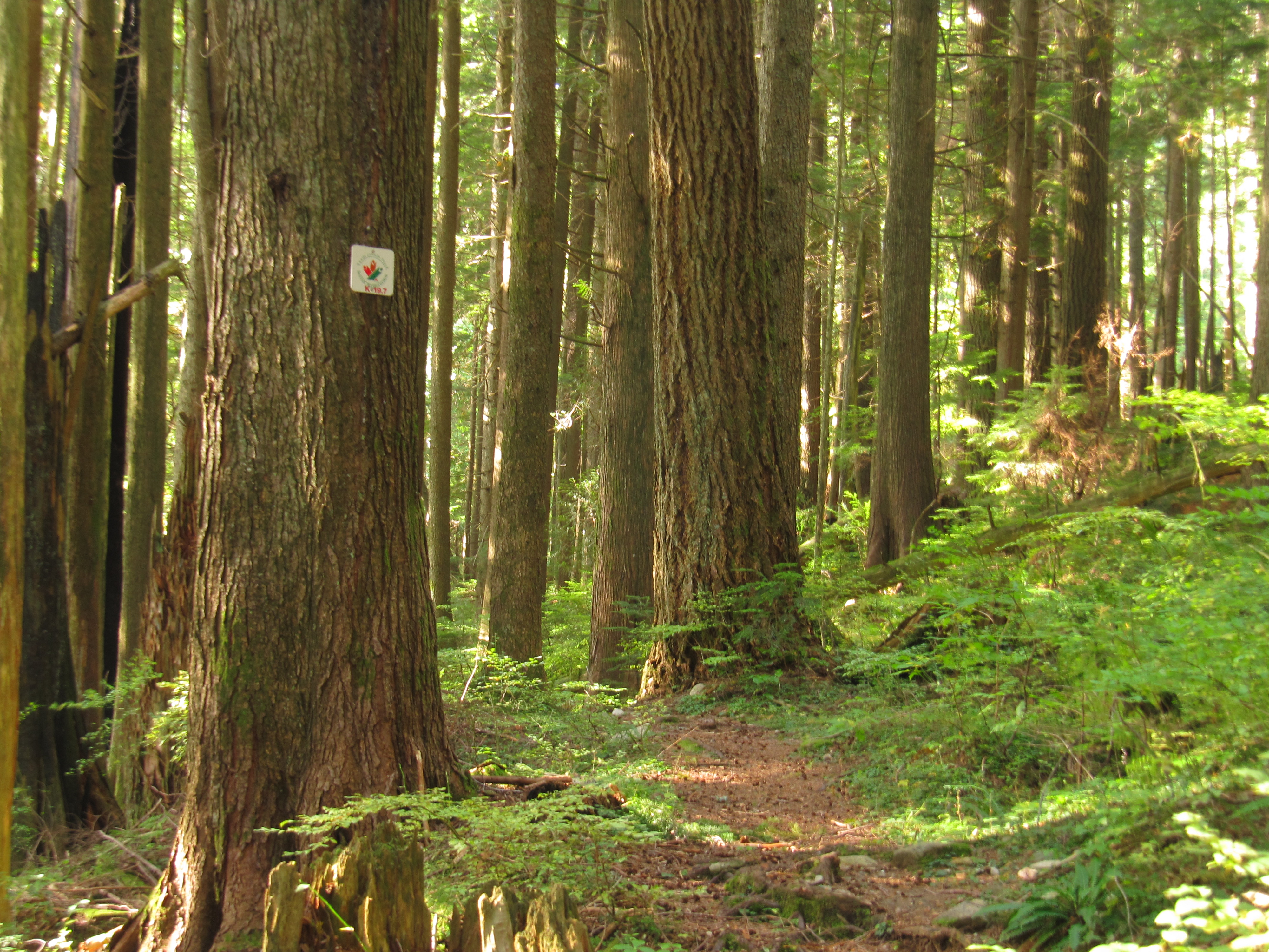
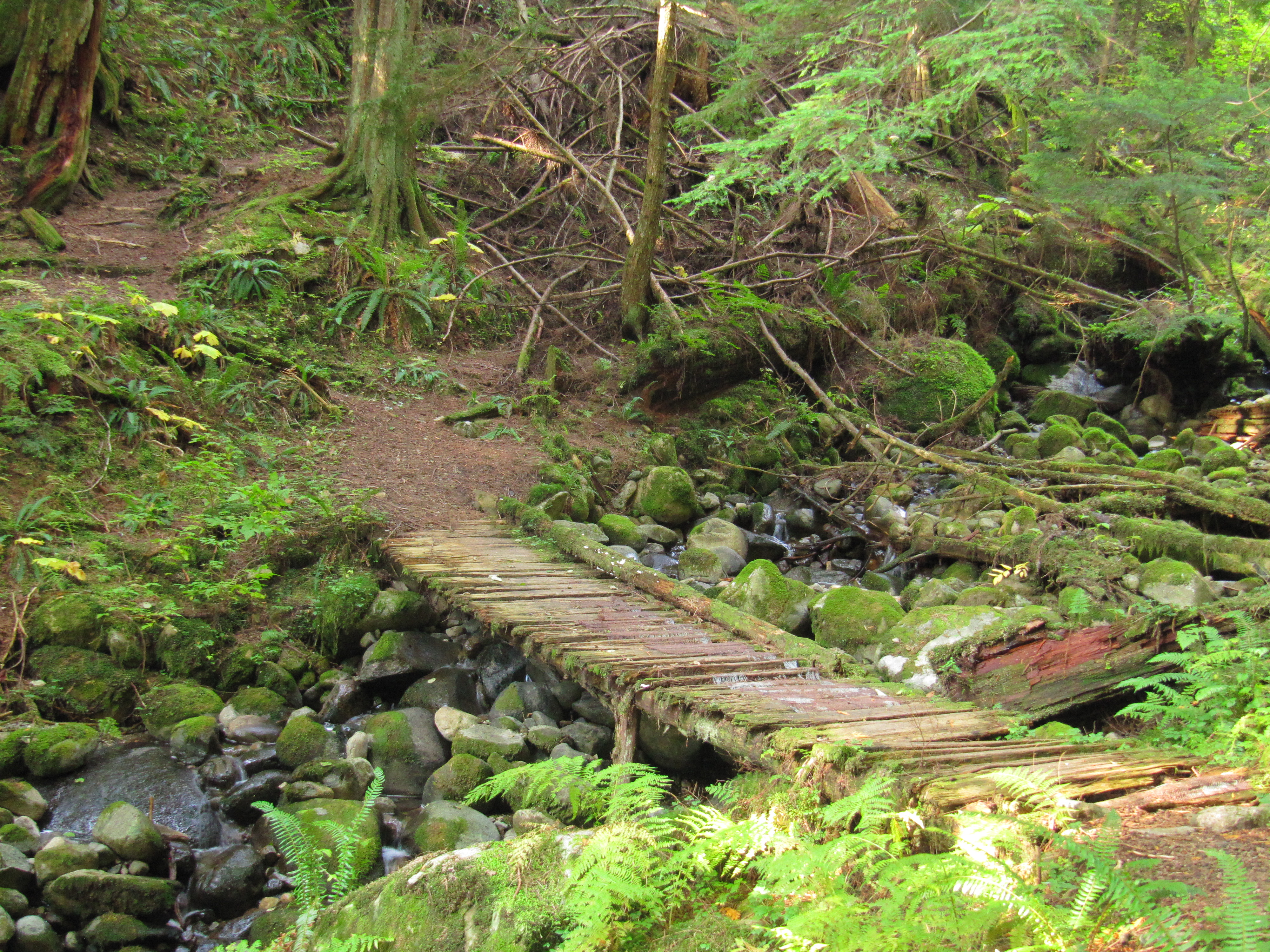
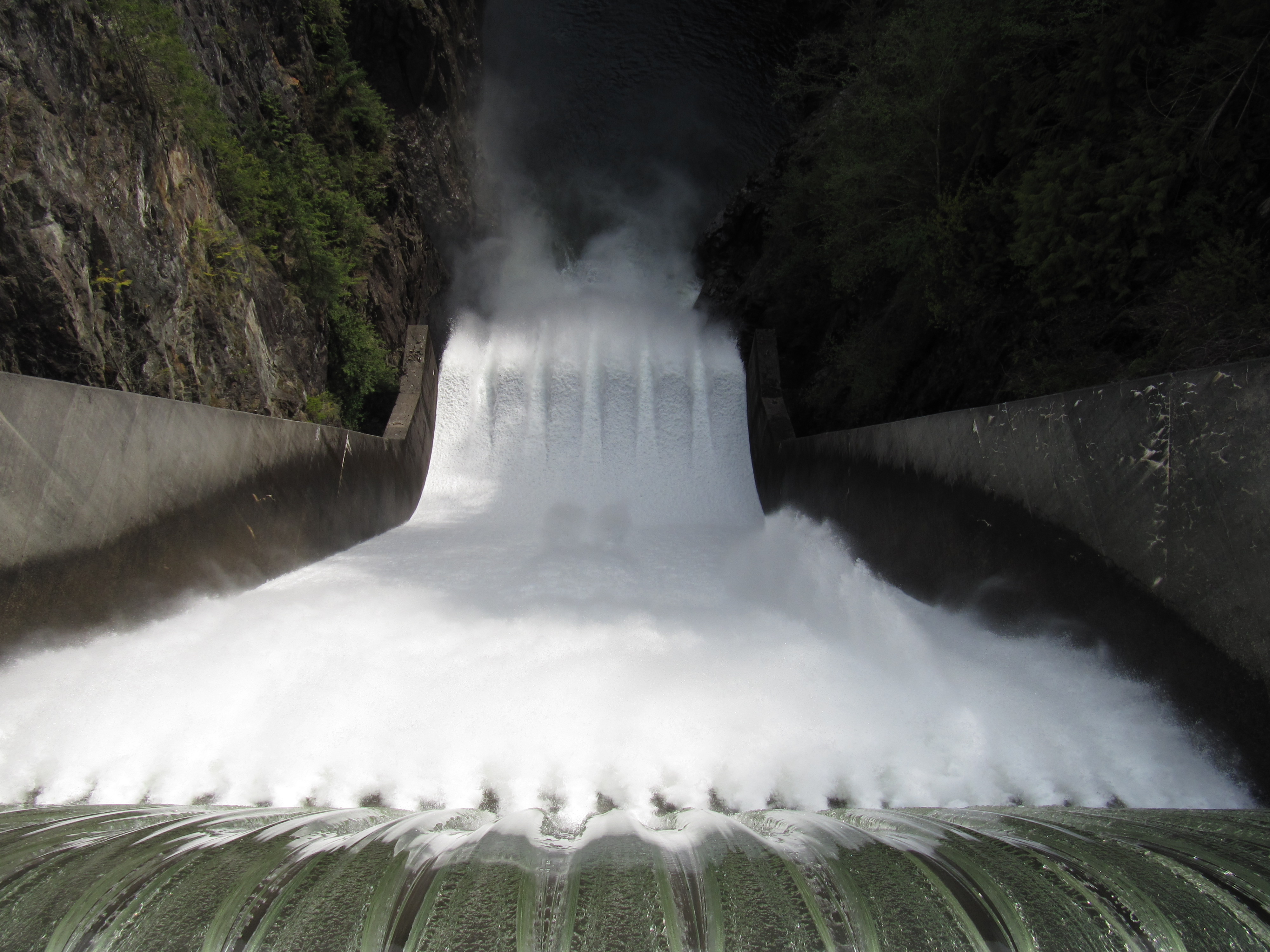
From here, it can get quite overgrown in places. The Skyline Trail features vestiges of early century logging, picturesque ravines, waterfalls, and west coast forest. Access trails to Cypress Bowl, Hollyburn Mountain and several other heritage trails can be used as alternates or side trips. For a short side trip, cross the Cleveland dam to get good views of the Capilano Canyon, outflows from the dam, and access to water and restrooms.
CYCLISTS
The cycling route from the Horseshoe Bay Ferry Terminal to the Cleveland Dam mainly follows existing pleasant cycling routes through West Vancouver using quiet residential streets before heading over to the Cleveland Dam. It is recommended to use the Dundarave alternative routing (see map) to get closer to Burrard Inlet shores and parks.
CYCLISTS AND HIKERS
The cyclists and the walkers will be on the same trail as they leave Capilano Regional Park for North Vancouver.
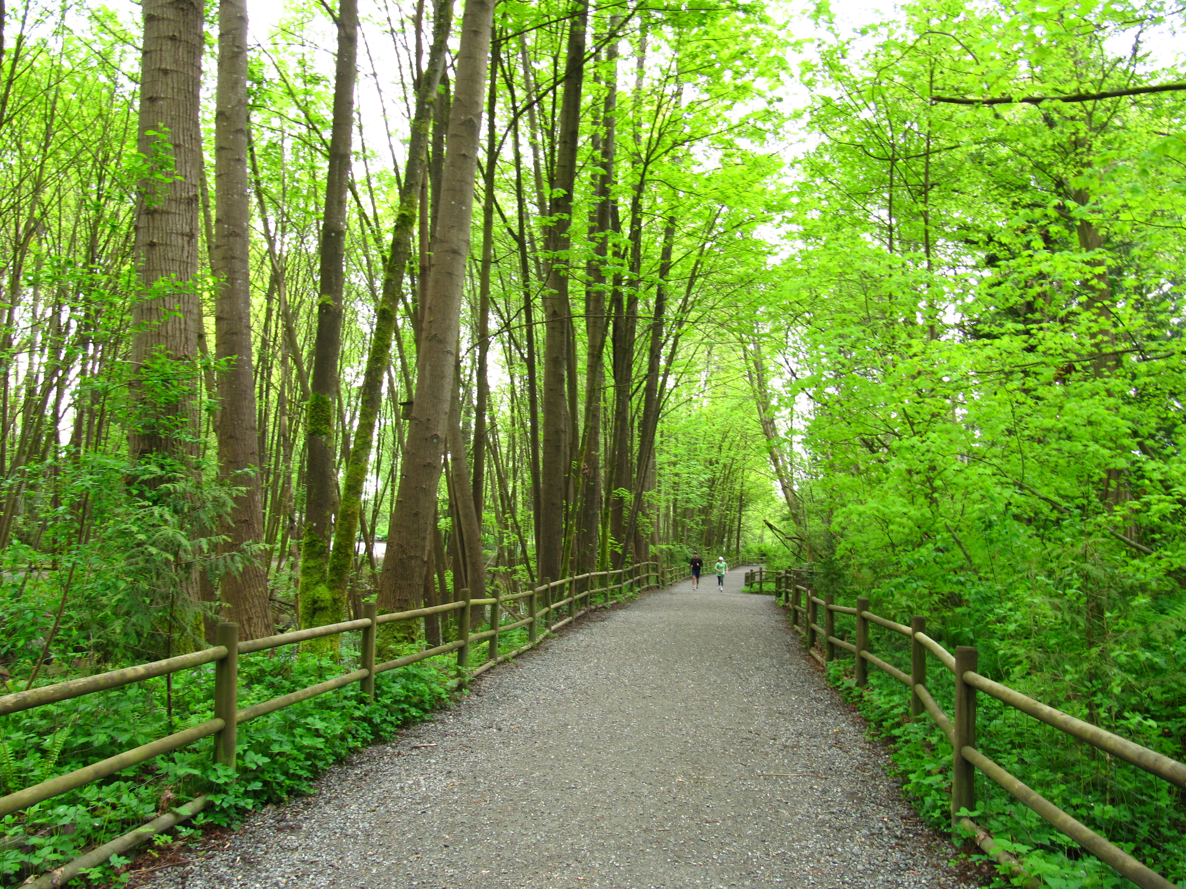
In Capilano Regional Park the trail generally follows the Capilano River Canyon in a typical coastal forest. Then the trail is on sidewalks and passes near the Capilano Suspension Bridge, a major tourist attraction.
Edgemont Village offers a charming village atmosphere. The Mosquito Creek Trail is a natural trail with adjacent spawning channels enhancing the fisheries potential of the creek. The Mission Reserve off Forbes Road includes St. Paul’s Church, a heritage site. The Elders Garden next to the church is also a unique attraction. There are informative interpretive signs in Waterfront Park, providing insights into the Harbour activities and its history.
The trail arrives at the Sea Bus terminal to link with downtown Vancouver.

Staging Areas:
Parking/Staging areas are available at parking lots in Horseshoe Bay, across from the Gleneagles Golf Course, Cypress downhill sky area (end of parking lot) the viewpoint at the start of the Skyline Trail off Cypress Road, at Glenmore Park, at the Cleveland Dam, the Fish Hatchery, and along the cycling route in the Ambleside and Dundarave business districts. Lonsdale Quay and Horseshoe Bay are great staging areas but there may be some difficulty with parking restrictions.
GPS INFORMATION:
- KML/KMZ files can be opened in Google Earth, and many smartphone apps.
- GPX files can be opened by most GPS software apps when KMZ cannot. Note, GPX files do not contain custom colours and icons that we use on our maps; all tracks and icons will appear the same colour and styles. We recommend using KMZ instead of GPX if possible.
The files below include data for only this specific area. For all of our Trans Canada Trail data for the entire province (including features, campsites and alternate routes), download our BC.kmz master file (1.2 MB)
Visit our GPS & Navigation page for instructions of how to use your smartphone as a GPS device (even when outside of data coverage) or how to import data to your Garmin unit.
GPS DOWNLOAD (KMZ FILE)
GPS DOWNLOAD (GPX FILE)
DOWNLOAD INFORMATION SHEET
Staging Areas:
Parking/Staging areas are available at parking lots in Horseshoe Bay, across from the Gleneagles Golf Course, Cypress downhill sky area (end of parking lot) the viewpoint at the start of the Skyline Trail off Cypress Road, at Glenmore Park, at the Cleveland Dam, the Fish Hatchery, and along the cycling route in the Ambleside and Dundarave business districts. Lonsdale Quay and Horseshoe Bay are great staging areas but there may be some difficulty with parking restrictions.
Washrooms:
There are public washrooms at the ferry terminal, along the foreshore park of Horseshoe Bay and at the new Community Centre near the golf course approximately 1.1 km from the terminal. There are toilets east from the old Nelson Creek Highway Bridge and at the start of the Skyline Trail at Cypress Bowl Road. The next public washrooms are located at Glenmore Park, the Cleveland Dam, and the Fish hatchery in Capilano Regional Park. For cyclists there are public washrooms at Dundarave and Ambleside Parks a few blocks off the designated route. In North Vancouver they can be found in Edgemont Village, both ends of Mosquito Creek Trail, and Lonsdale Quay area.
Route Highlights:
- In Horseshoe Bay, do take in its park with its seashore, shops, and restaurants, a popular tourist destination.
- The Seaview walk is an abandoned BC Rail grade and offers sensational views over Fisherman’s Cove and Eagle Island.
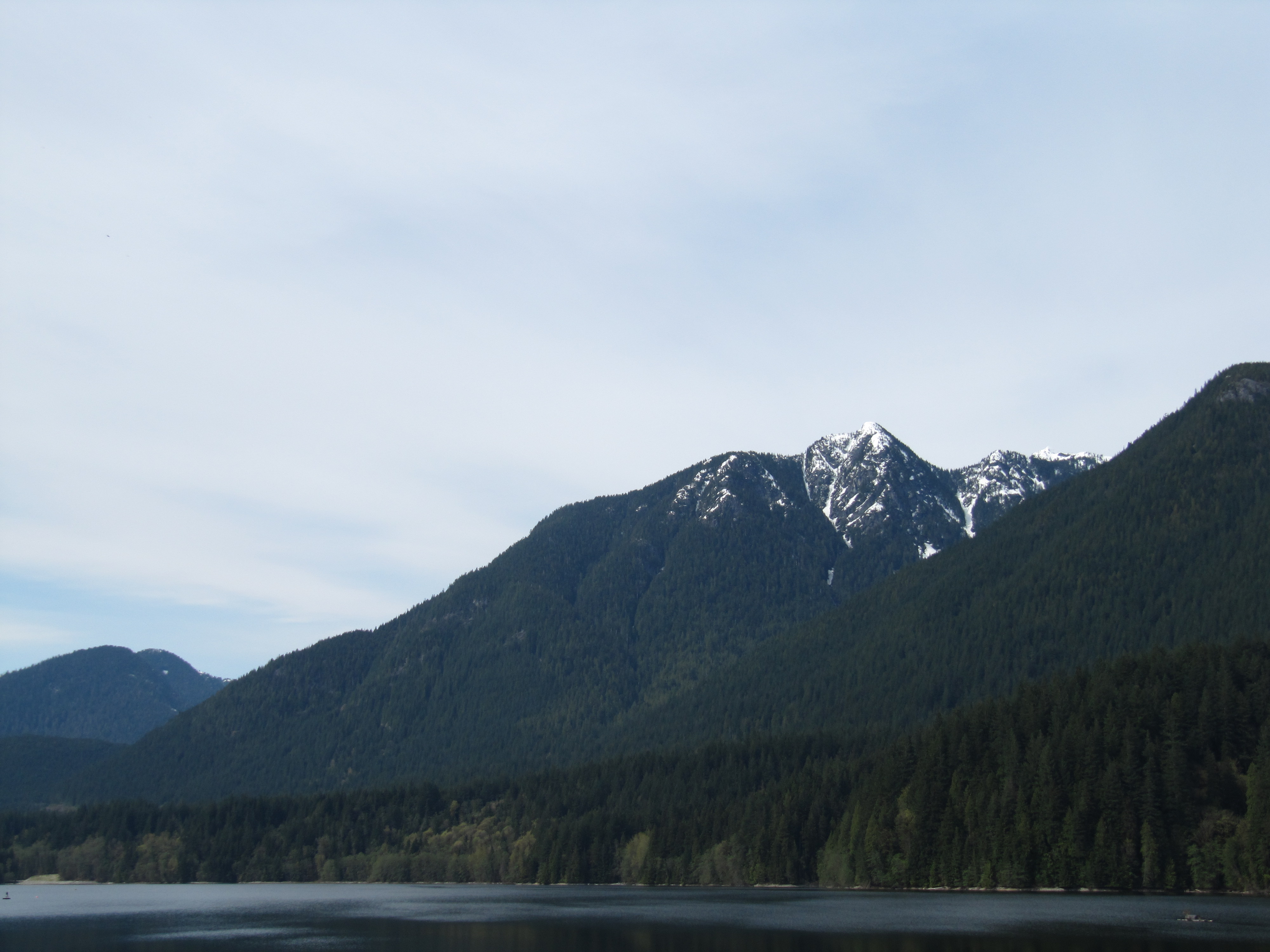
- The Upper Lands Trail – Horseshoe Bay to the Fish Hatchery in Capilano Regional Park reaches BC Cypress Provincial Park to an elevation of 823 metres/2700 ft., the highest point of the Trail on the North Shore.
- As West Vancouver develops the Spirit Trail across the region, much of it will become part of the Trans Canada Trail and as a greenway may become the main route for TCT walkers as well.
- The Market at Lonsdale Quay is full of activity and charm
- Next door to the market there is an interesting small museum that offers tourist information
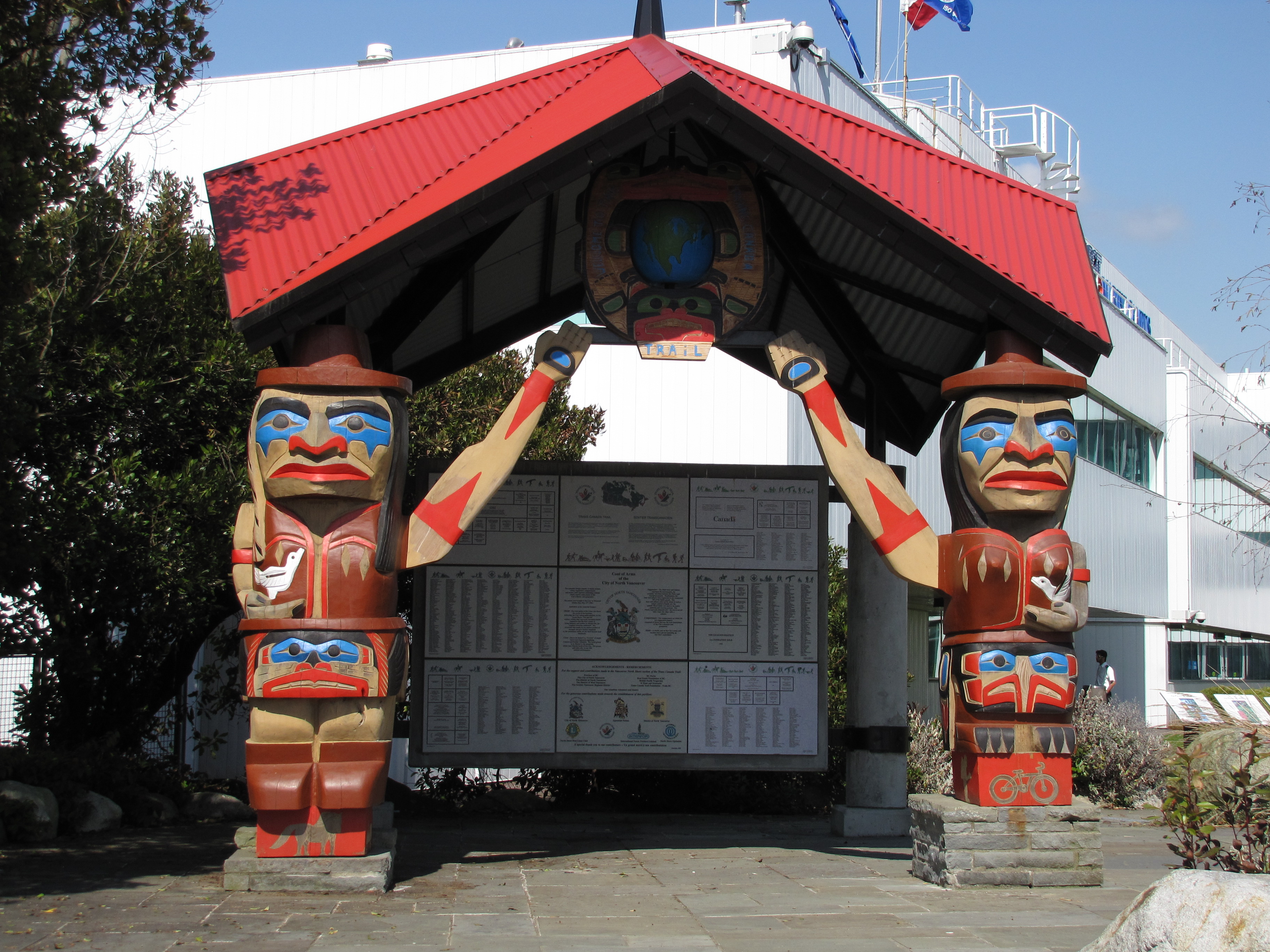
- Do look for the unique Native Theme Trans Canada Trail Pavilion in Waterfront Park, a definite photo opportunity.
- SeaBus travelers are rewarded with an inexpensive “cruise” across the Harbour and views of the Vancouver and North Vancouver skylines, port activities, the Lions Gate Bridge and Stanley Park.
DOWNLOAD INFORMATION SHEET
Shopping:
Shops and restaurants are plentiful in Horseshoe Bay. Cyclists will find plenty of shops and restaurants just off the route in Dundarave and Ambleside with its Park Royal Shopping Centre. There are also many restaurants and shops in and around the Lonsdale Quay Public Market and in Edgemont Village.
Accomodations:
Camping facilities are available at the Cleveland RV Park (tenting spaces as well) just over the Capilano River past Park Royal Shopping Centre at 295 Tomahawk off Welsh Street. Bed and Breakfasts are plentiful and hotel accommodation is available in Horseshoe Bay and the City of North Vancouver around the Lonsdale Quay.
Transportation:
Related Links:
Public Transportation
TransLink (bus) (604 521-0400)
BC Ferries
SeaBus
For More Information
About West Vancouver
District of North Vancouver
City of North Vancouver
Cypress Provincial Park
Capilano Regional Park
Directions:
DOWNLOAD INFORMATION SHEET (PDF)HIKING ONLY ROUTE (total: 36 km)