Trails BC’s Okanagan Region covers the area from Brookmere, south of Merritt, to McCulloch Station, east of Kelowna. It takes in portions of the Okanagan-Similkameen Regional District and the Central Okanagan Regional District. To the west is the Southwest Region and to the east is the Boundary Region.
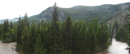
The Okanagan is best known for being an area with beautiful lakes, and rolling hills sprinkled with orchards and vineyards surrounded by softened mountain peaks and hoodoos. The Indigenous people of this land and territory are the Okanagan or Syilx people. As caretakers and stewards of this land, you may see their pictographs throughout the area. As well as some signage on Trails with the traditional language of nsyilxcen.
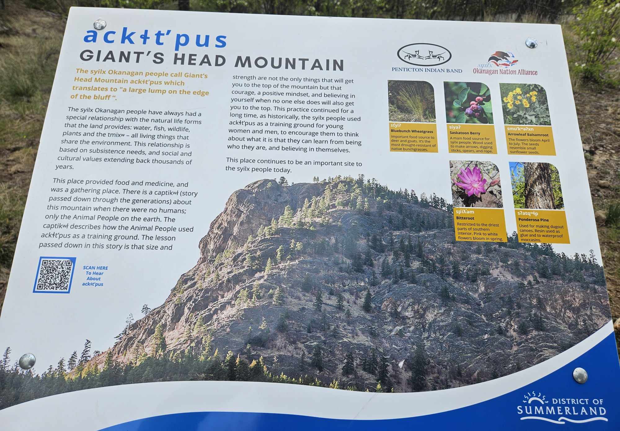
nsyilxcen signage on Giants Head
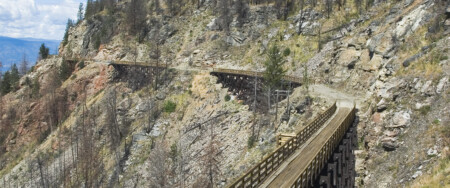
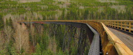
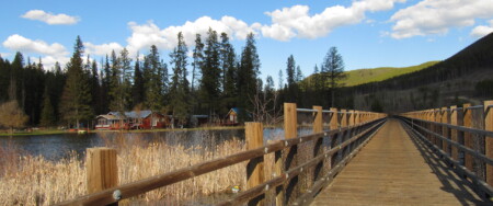
Within the region, the Trans Canada Trail mostly lies entirely on the Kettle Valley Railway (KVR). A former CP rail line that ran between Hope and Midway, BC has been repurposed where possible to create the KVR rail trail for walking, running, and cycling. Out of the KVR trail, a total of 500 km in length, about 330 km of it is within the Okanagan. It is presently administered by the Recreation Sites and Trails BC, a department, which oversees trails, recreational sites, and campsites (excluding Provincial Parks)
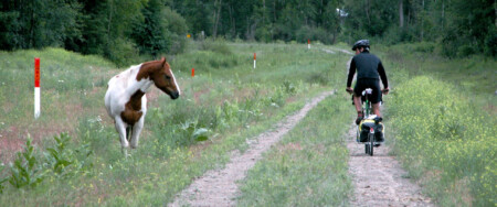
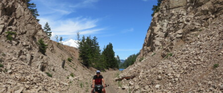
Trail conditions range from beginner to more advanced endurance levels. Please be aware that some areas of the trial may have uncontrolled motorized vehicle usage.
We recommend bicyclists to use sturdy equipment on the trail. Mountain bikes are best, and sturdy hybrids are good for traveling long distances. Front suspension isn’t necessary, but it can increase comfort on bumpy washboard sections. Tire width should be a minimum of 35-38mm, and wider tires (though slower) will be helpful when encountering deep sand. There are no steep inclines. Snow can stick to the trail near McCullough (just east of the Myra Canyon) into mid-May on north-facing slopes. We recommend wearing gloves (in addition to the usual helmet), as cyclists can lose their balance on soft sand and take the odd tumble – cuts on your palm can be painful during a multiple-day ride! The beauty of this valley is breathtaking and worth exploring.
Looking to learn more about the Okanagan people?
7 Generations Pledge — Thompson Okanagan
limləmt, thank you
![]()