


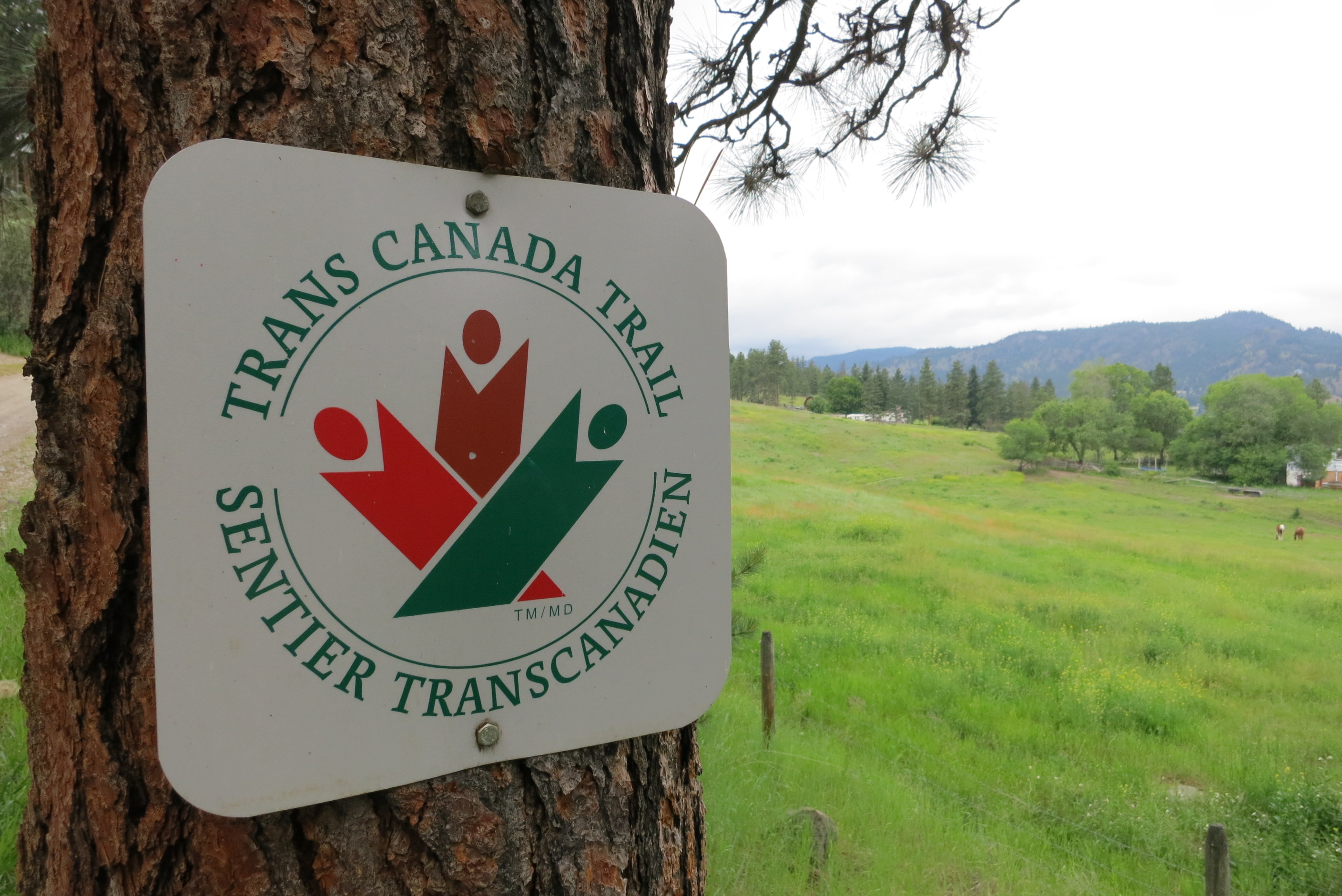
The Trans Canada Trail in the Princeton area is entirely on the Kettle Valley Railway. The area encompasses the communities of Brookmere, Tulameen and Coalmont to the west of the town of Princeton, and climbs into the grassy highlands on its way to Osprey Lake – home to many seasonal cabins and camp sites.
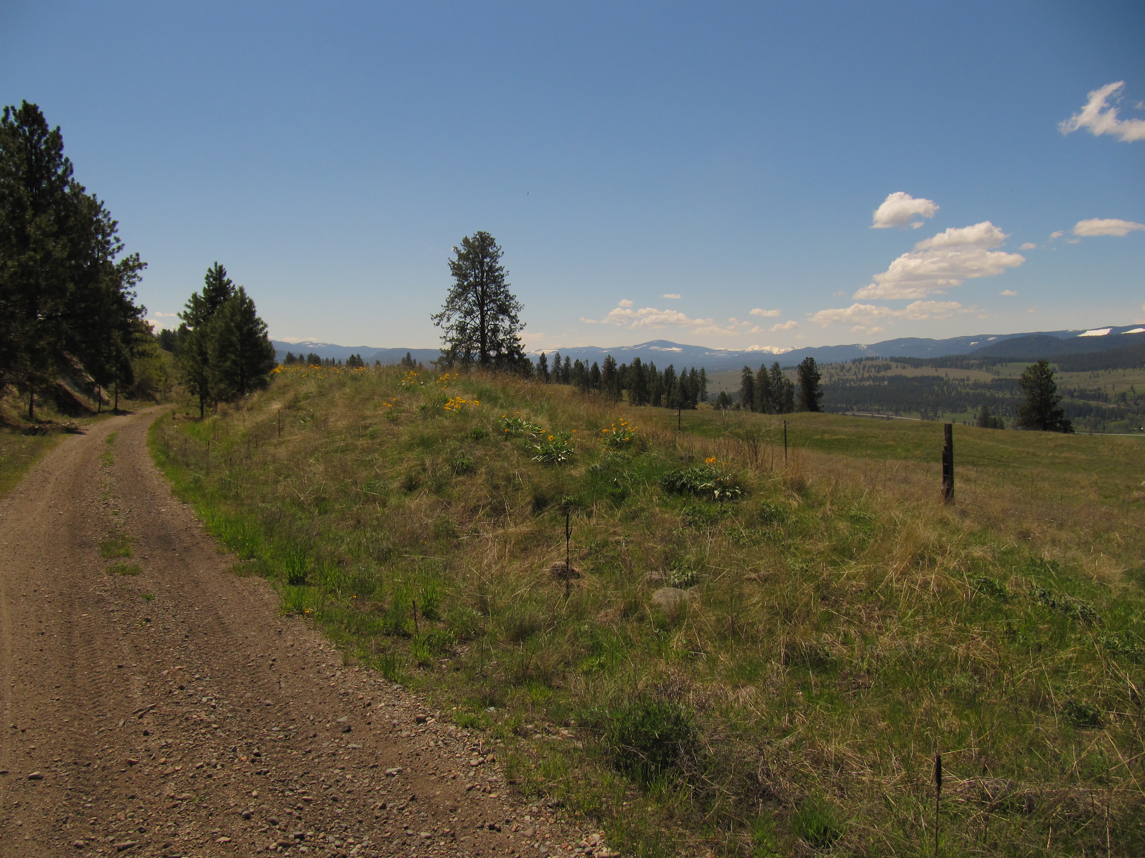
The scenery is quite unique along the trail, a particular treat for those traveling along the KVR from the Fraser Canyon – while the coast is shrouded in fog and rain, the interior is often warm and dry. Ponderosa pines and grass grow under the blazing sun and blue sky.
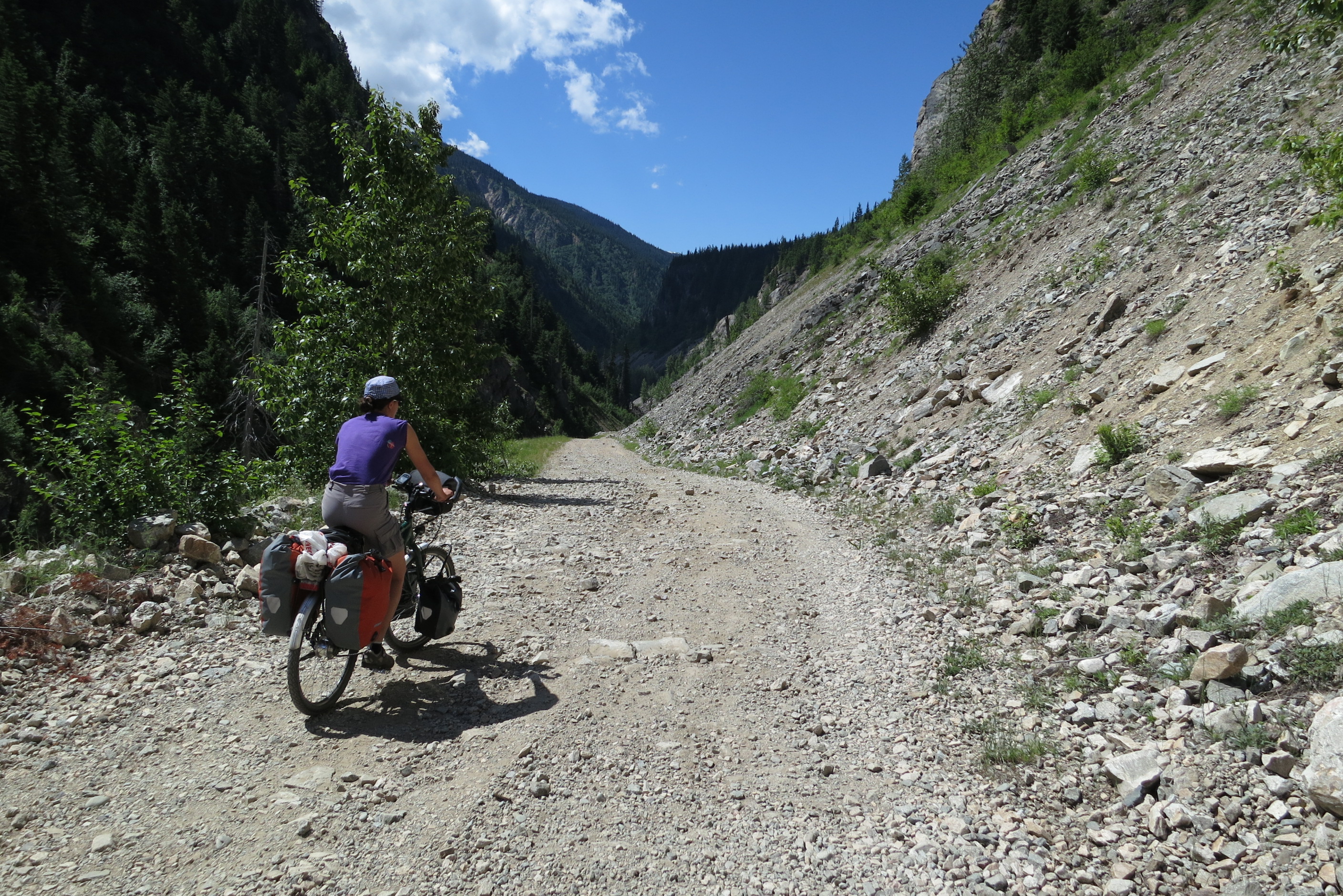
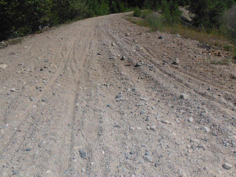
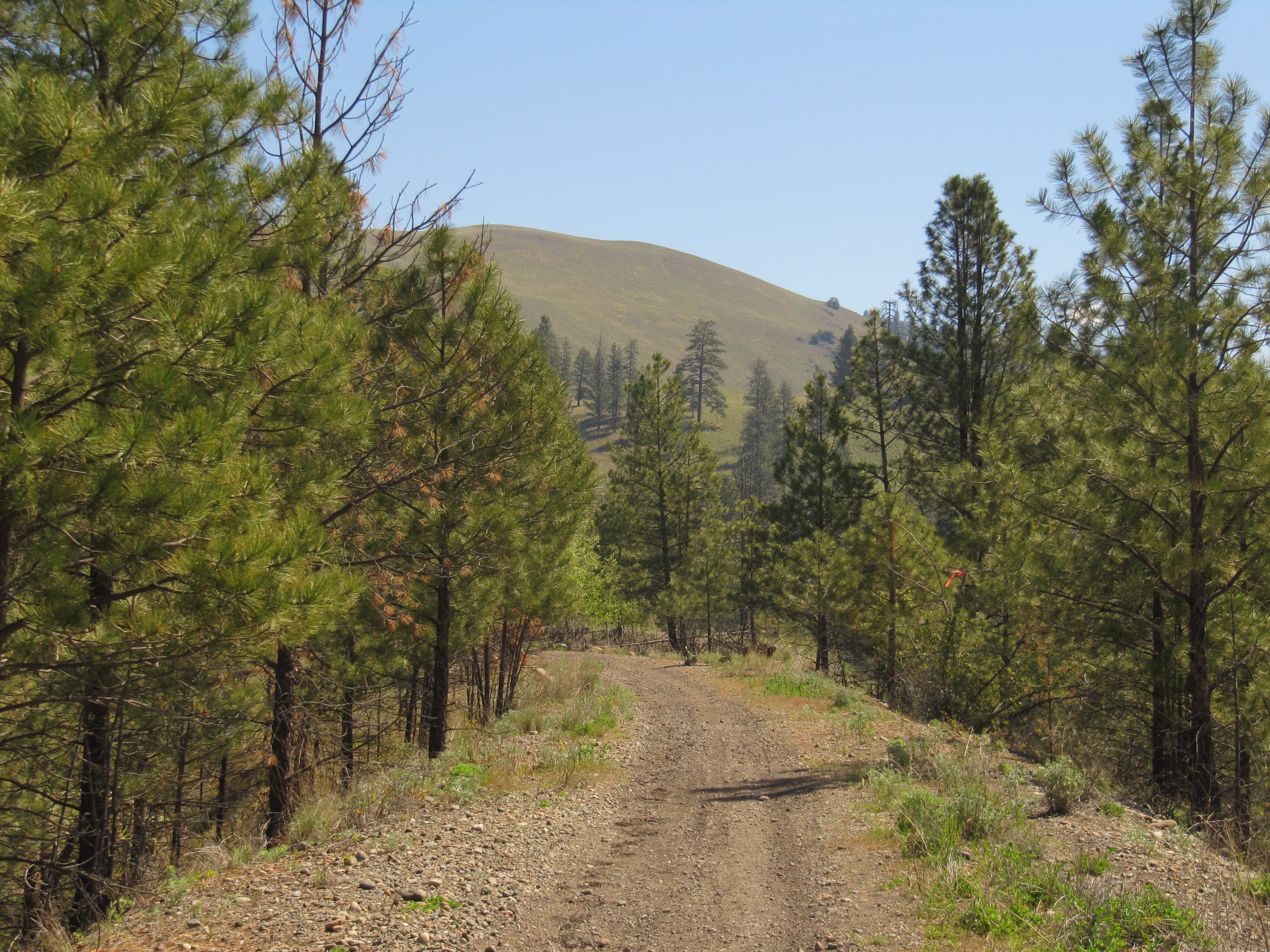
Important: You will almost certainly encounter motorized vehicles along the route, particularly ATVs and dirt bikes, which could be travelling at high speeds. Over the years, unregulated motorized use has degraded the trail surface along the Kettle Valley Railway, making many areas quite challenging for hikers and cyclists. Users should come prepared for sandy conditions. Please see our equipment recommendations on the Okanagan main page or even more detail on our “Equipment Tips” page of our Travel Tips.

Staging Areas:
Ample parking can be found all along the trail due to its rural nature. Inquire at the Princeton Visitor Centre for local parking options.
GPS INFORMATION:
- KML/KMZ files can be opened in Google Earth, and many smartphone apps.
- GPX files can be opened by most GPS software apps when KMZ cannot. Note, GPX files do not contain custom colours and icons that we use on our maps; all tracks and icons will appear the same colour and styles. We recommend using KMZ instead of GPX if possible.
The files below include data for only this specific area. For all of our Trans Canada Trail data for the entire province (including features, campsites and alternate routes), download our BC.kmz master file (1.2 MB)
Visit our GPS & Navigation page for instructions of how to use your smartphone as a GPS device (even when outside of data coverage) or how to import data to your Garmin unit.
GPS DOWNLOAD (KMZ FILE)
GPS DOWNLOAD (GPX FILE)
DOWNLOAD INFORMATION SHEET
Staging Areas:
Ample parking can be found all along the trail due to its rural nature. Inquire at the Princeton Visitor Centre for local parking options.
Washrooms:
See our map for the locations of outhouses along the KVR
Route Highlights:
The Trans Canada Trail in the Princeton area is considered complete and operational with no gaps or obstacles.
Some highlights along the trail include:
- Otter Lake
- Red cliffs and hoodoos along the Tulameen River
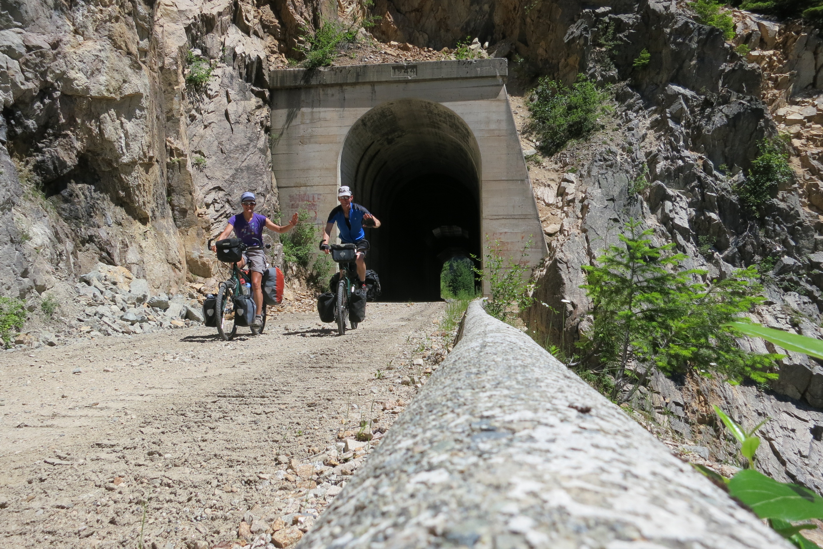
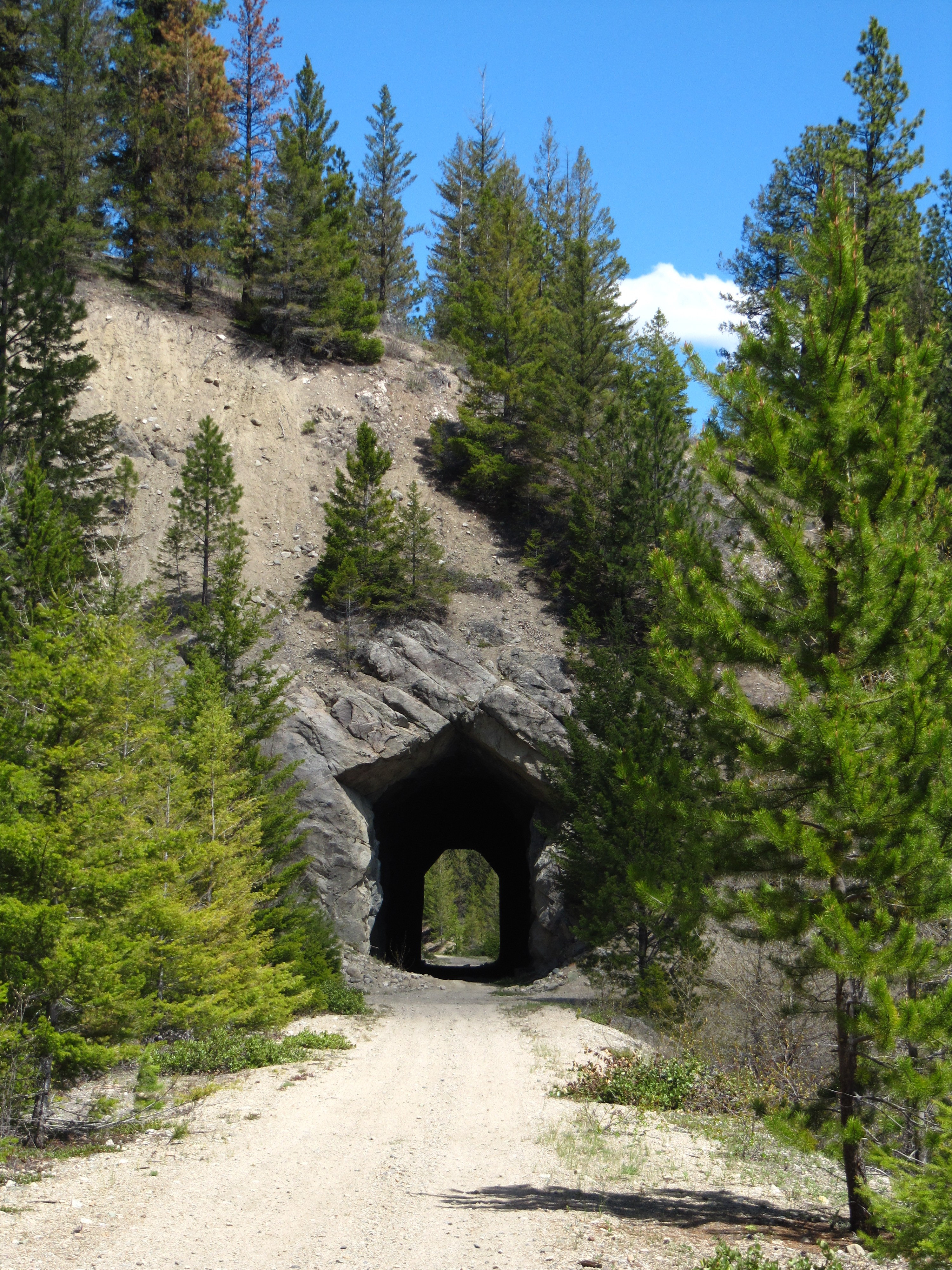
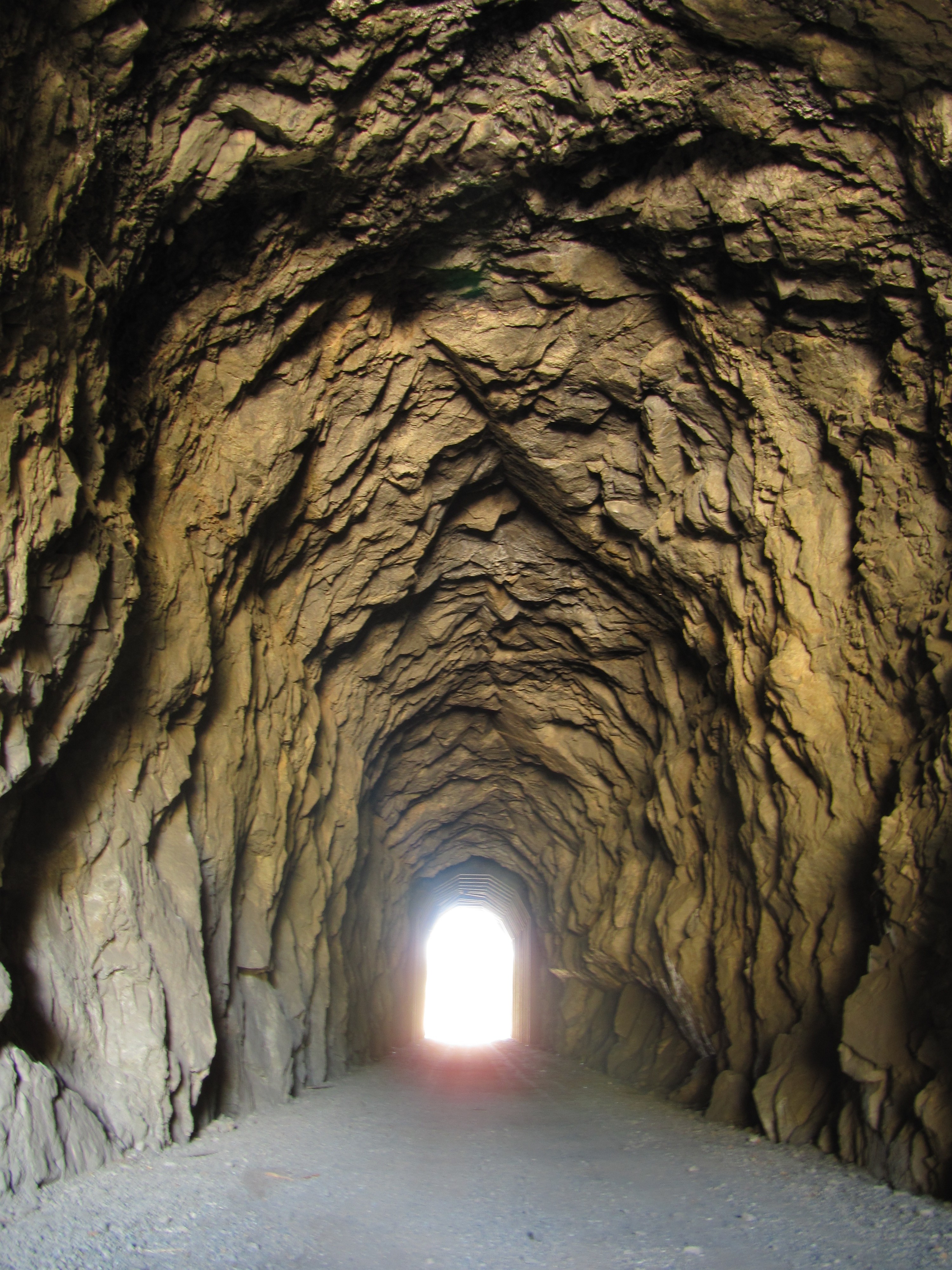
- Long tunnel under highway 3 (just west of Princeton)
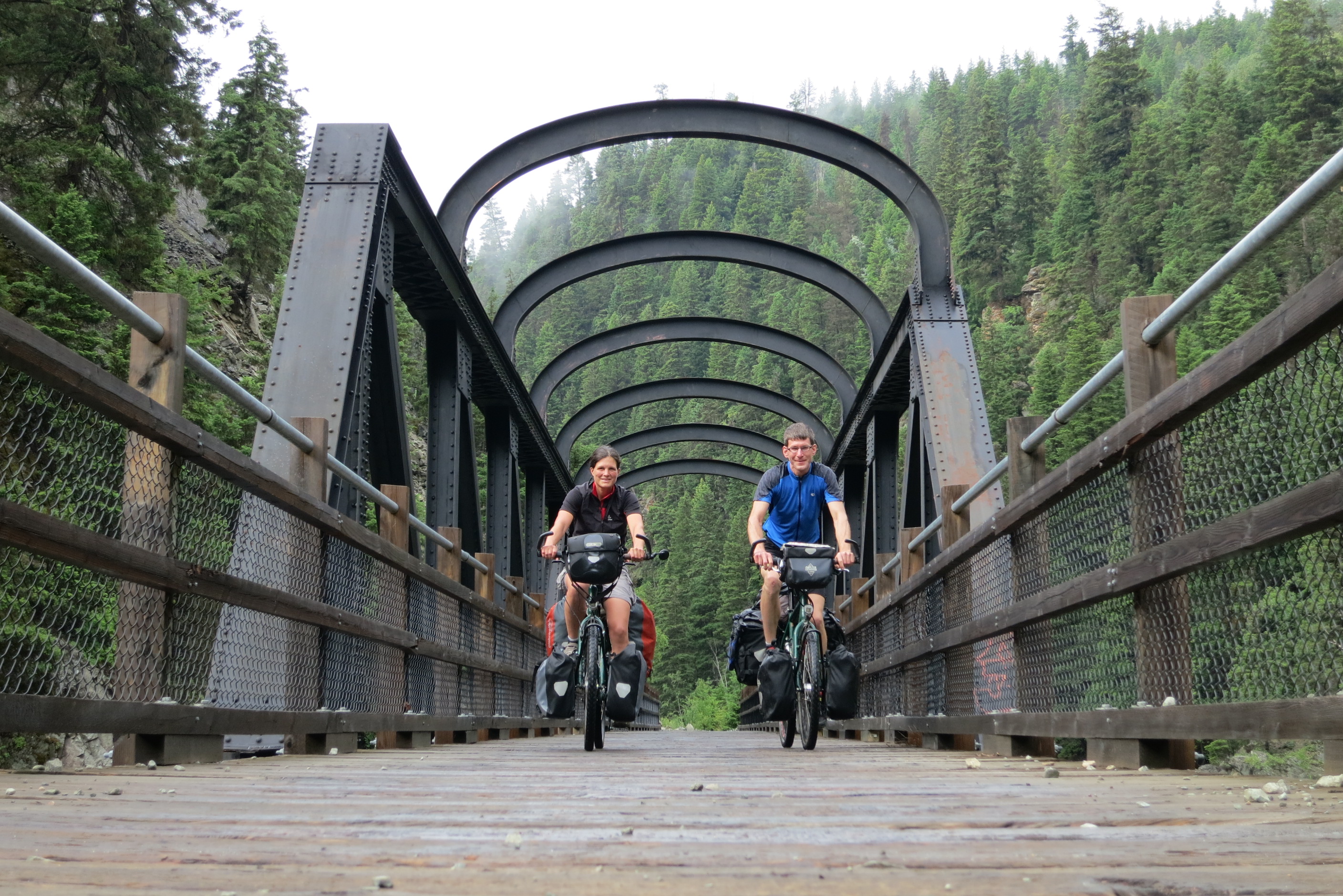
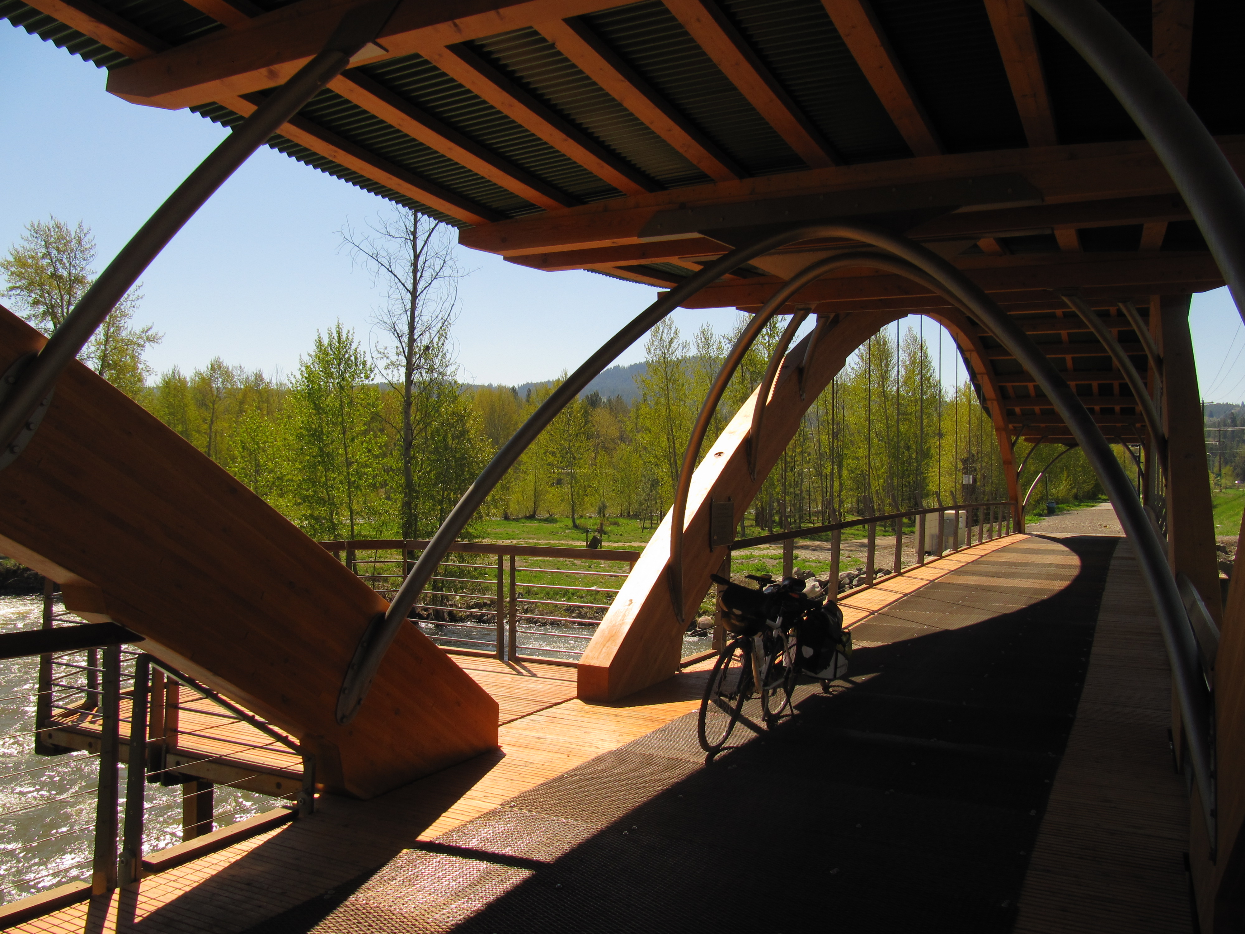
- Bridge of Dreams
- Great views and hairpin turns between Princeton and Jura
- Osprey Lake
DOWNLOAD INFORMATION SHEET
Shopping:
The main grocery store in the area is Cooper’s Foods located in Princeton. Smaller convenience style stores can provide basics and lunch items and are located in the main communities along the trail (eg Tulameen)
Accomodations:
Transportation:
Related Links:
Osprey Lake community site
Osprey Lake Retreat
Princeton Visitor Centre (for local information on the trail, call 250-295-0235. Located at 169 Bridge St, Princeton)
Directions:
DOWNLOAD INFORMATION SHEET (PDF)In order to travel east along the Trans Canada Trail using the Kettle Valley Railway in the Princeton area, trail users will start in Brookmere (or the Coquihalla Highway) to Osprey Lake.
If starting the journey from the Coquihalla Highway, the KVR can be accessed about 38 kilometres south of Merrit at Brodie Siding, where the Brook Creek joins the Coldwater River. At this point, the KVR once ran in three directions – south towards Hope, north to Merrit, and east towards Penticton.
Brookmere lies about 7 km east of this junction, and is known for being home of the last standing octogonal water towers that once served the passing locomotives. Next is a very straight 35 km long stretch along Otter Lake to Tulameen where some basic supplies are available. This straight can be very dry and hot – be sure to bring plenty of water.
After another 7 km, the trail arrives at Coalmont, home to residents with a great sense of humour – if you’re lucky enough to encounter any.
The railway continues along the Tulameen river (some rudamentary campsites can be found along the way), through small tunnels and along brilliant red cliffs to the town of Princeton, where the Tulameen River combines with the Similkameen. Supplies can be purchased in town.
The next 50 kilometres of the KVR can be quite challenging – the trail climbs using switchbacks to the former rail station of Jura, heading in a northerly direction past Jellicoe en route to Osprey Lake. Although the climb is not steep and the terrain is interesting, motorized use has made its impact on the trai surface. Deep sandy ruts can cause riders to lose control – plan your journey to provide enough time to ride slowly if necessary. At Osprey Lake, there are plenty of opportunities for camping.