


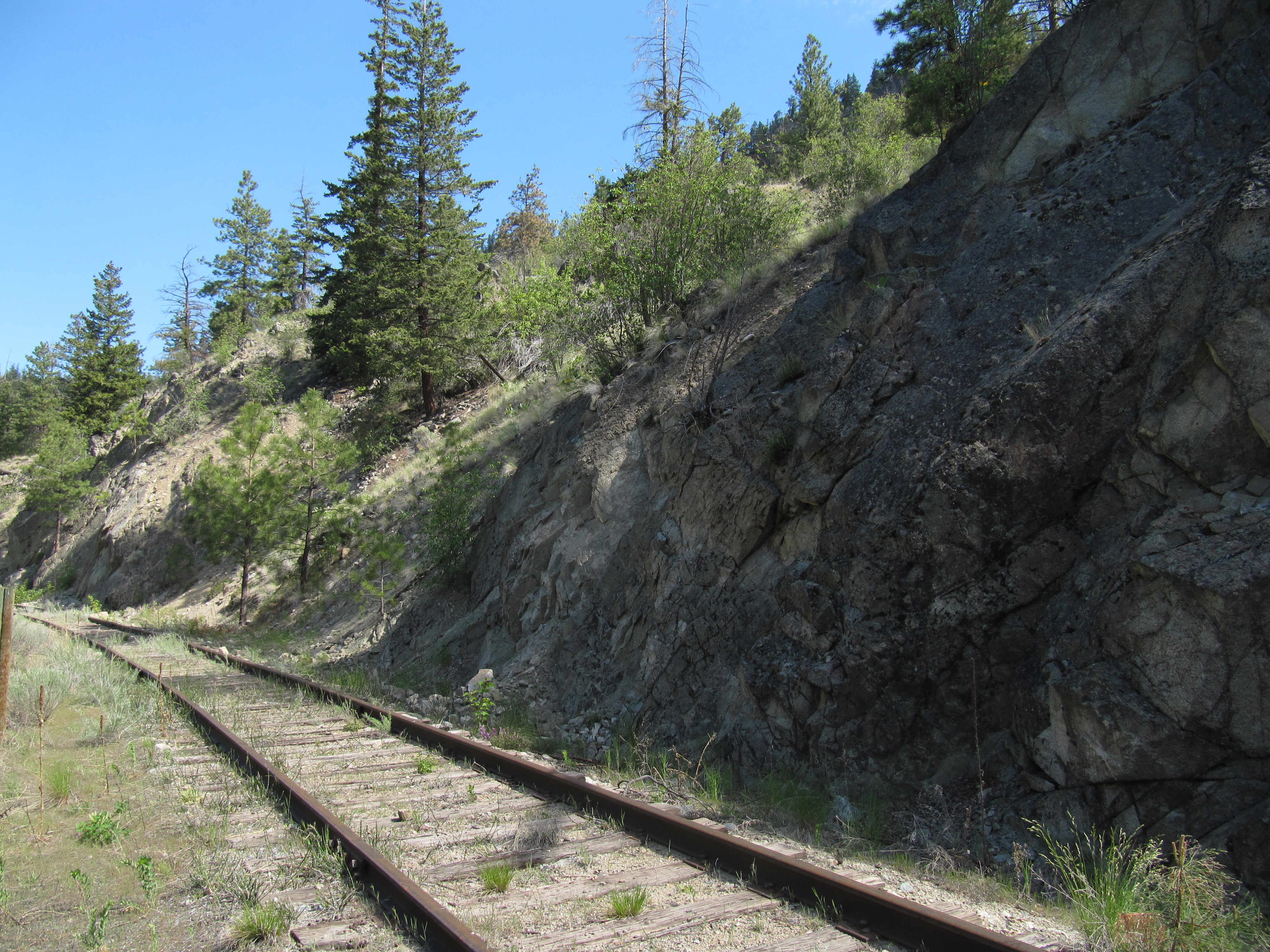
Important: You will almost certainly encounter motorized vehicles along the route, particularly ATVs and dirt bikes, which could be traveling at high speeds. Over the years, unregulated motorized use has degraded the trail surface along the Kettle Valley Railway, making many areas quite challenging for hikers and cyclists. The trail can be particularly bad in the Demuth-Kirton area (14-20 km west of Faulder) as trail maintenance has not yet taken place and motorized use has taken its toll; users should come prepared for sandy conditions. Please see our equipment recommendations on the Okanagan main page or even more detail on our “Equipment Tips” page of our Travel Tips.
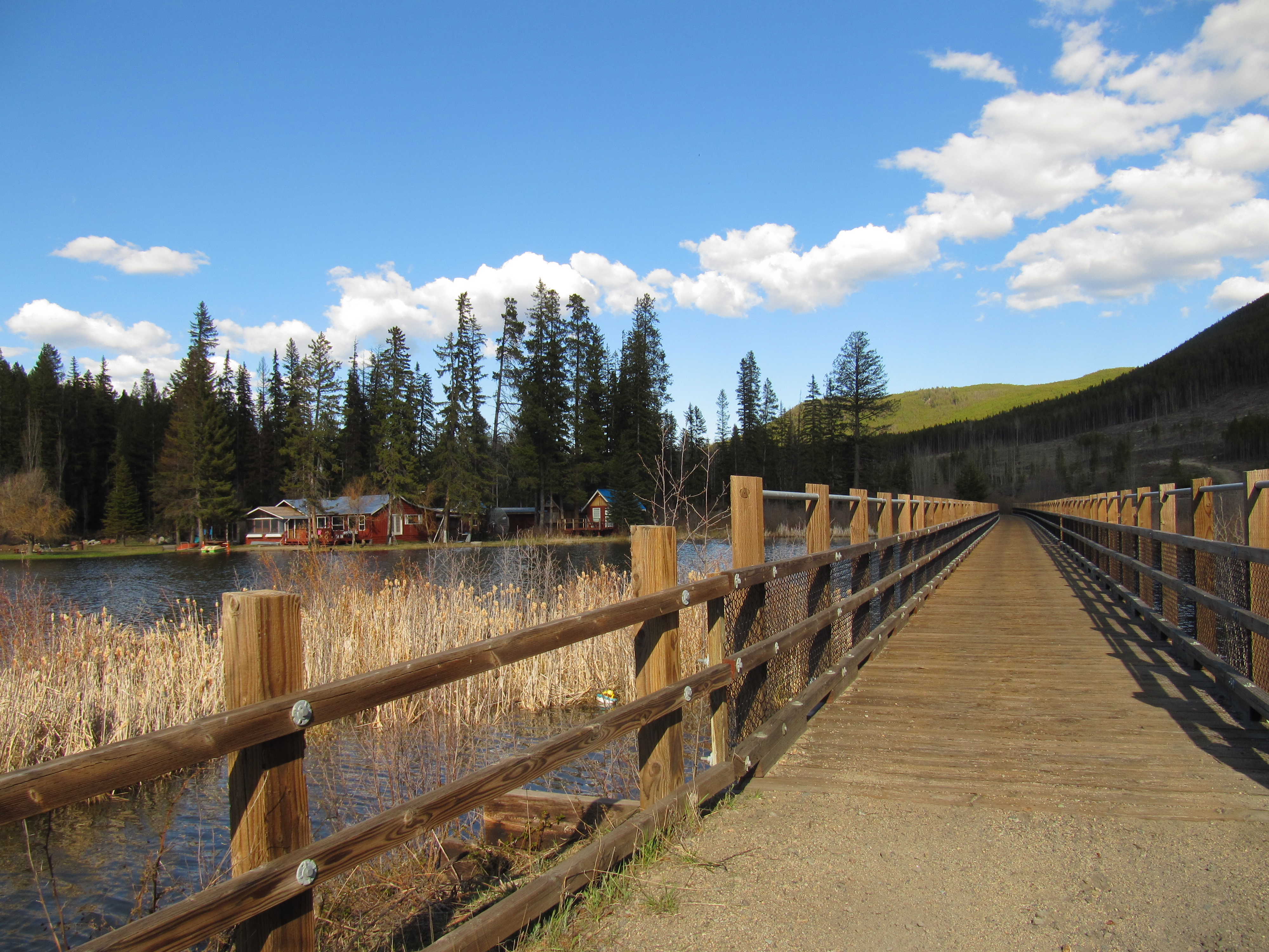
When approaching Summerland from the west, the KVR is still an active railway – watching the steam locomotive chug along the tracks is a popular attraction in the region – so the trail leaves the railway, following an excellent gravel path. This combination is called “Rail with Trail” or RWT for short.
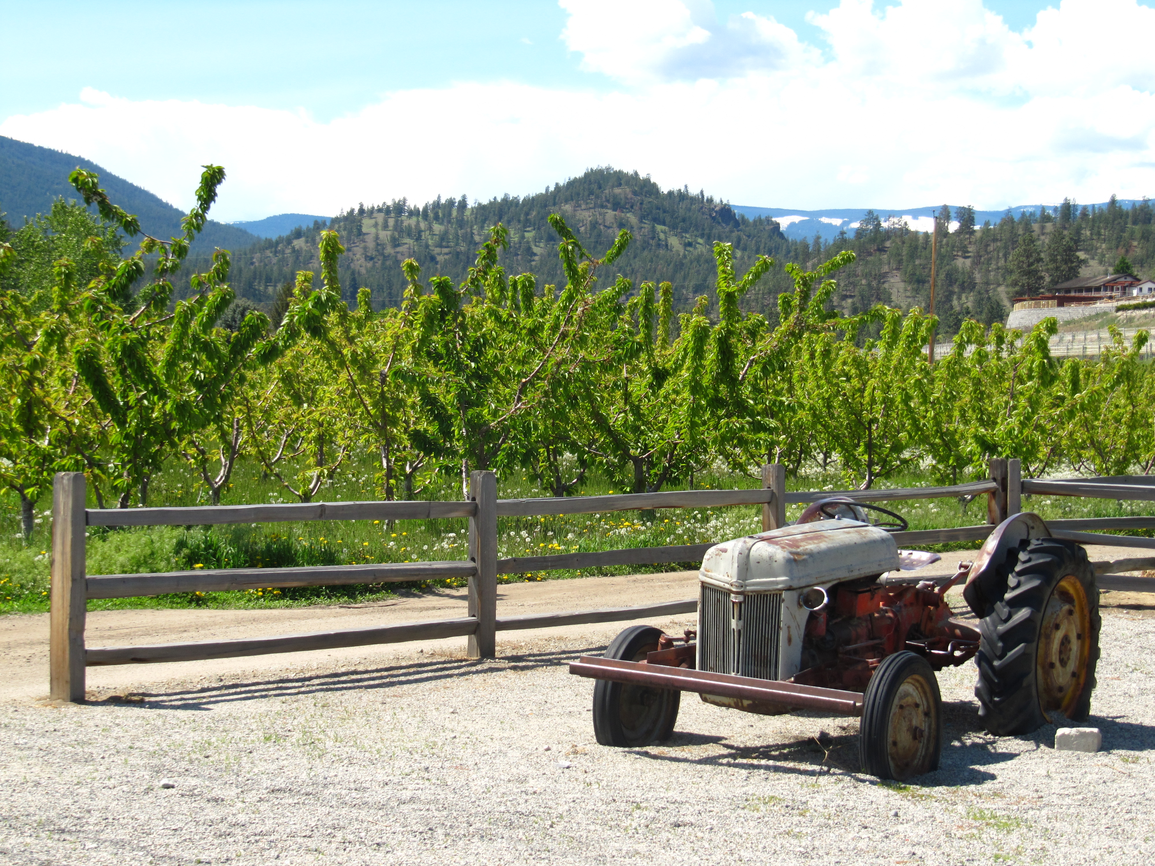
The trail ends within Summerland but the route is quite easy to follow, traveling through vineyards and orchards. Be sure to drop in to the local farms for some delicious, fresh fruit – a specialty of the Okanagan!
The trail from Trout Creek south to Penticton has been rerouted to utilize public roadways instead of the KVR. The KVR land is transferred to the Penticton Indian Band and is not open to the public.
Staging Areas:
GPS INFORMATION:
- KML/KMZ files can be opened in Google Earth, and many smartphone apps.
- GPX files can be opened by most GPS software apps when KMZ cannot. Note, GPX files do not contain custom colours and icons that we use on our maps; all tracks and icons will appear the same colour and styles. We recommend using KMZ instead of GPX if possible.
The files below include data for only this specific area. For all of our Trans Canada Trail data for the entire province (including features, campsites and alternate routes), download our BC.kmz master file (1.2 MB)
Visit our GPS & Navigation page for instructions of how to use your smartphone as a GPS device (even when outside of data coverage) or how to import data to your Garmin unit.
GPS DOWNLOAD (KMZ FILE)
GPS DOWNLOAD (GPX FILE)
DOWNLOAD INFORMATION SHEET
Staging Areas:
Washrooms:
Route Highlights:
The Kettle Valley Railway (KVR) is complete and operational from Osprey Lake to Summerland with no gaps or obstacles. The portion of the KVR between Summerland and Penticton is not public property as this section passes through the Penticton Indian Reserve.
Highlights along the KVR between Osprey Lake and Summerland include:
- Improved trail surfaces in the Thursk Lake area towards Summerland
- Orchards and vineyards along the trail
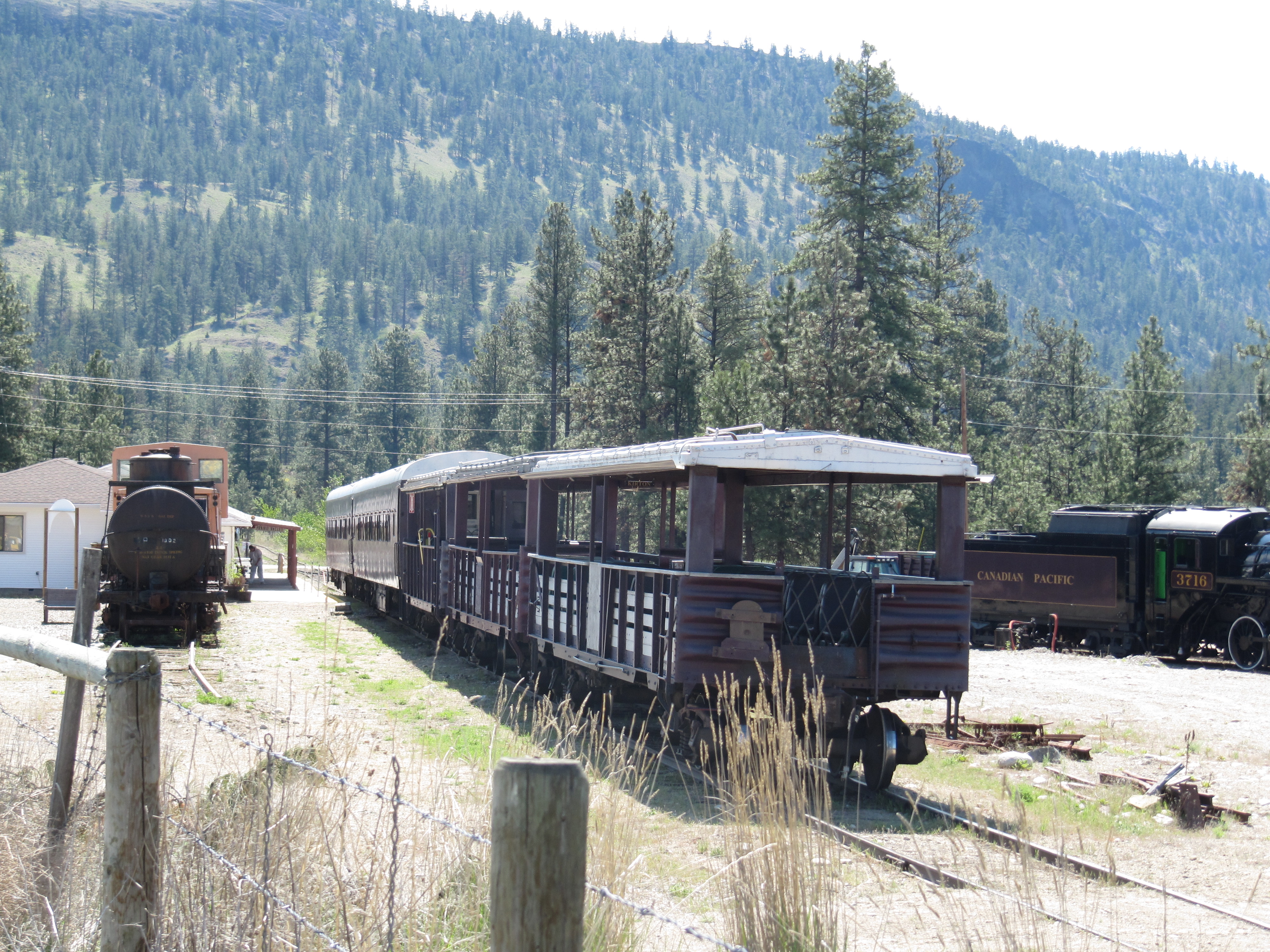
- Tourist train still running along the KVR in Summerland
- Trout Creek Bridge (72m above the creek)
DOWNLOAD INFORMATION SHEET
Shopping:
Accomodations:
Transportation:
Related Links:
Kettle Valley Railway Bulletin Board
Kettle Valley Steam Railway – Summerland tourist train
Directions:
DOWNLOAD INFORMATION SHEET (PDF)In order to travel east along the Trans Canada Trail on the Kettle Valley Railway in the Summerland area, trail users will travel from Osprey Lake to Trout Creek Bridge, south of Summerland.
From Osprey Lake, the trail surface begins to improve over the next 42 km to the outskirts of Summerland, where trail users will leave the rail corridor – a tourist train is still active on the line within Summerland.
The trail reaches Fenwick Road, which combines with Fyffe Road, travelling downhill, crossing the tracks, and turning sharply to the right on Victoria Rd South, passing through orchards and vineyards. Victoria reaches Lewis – turn right – and in 200 metres, turn left onto Hillborn. Within 500 metres, you will reach Canyon View.
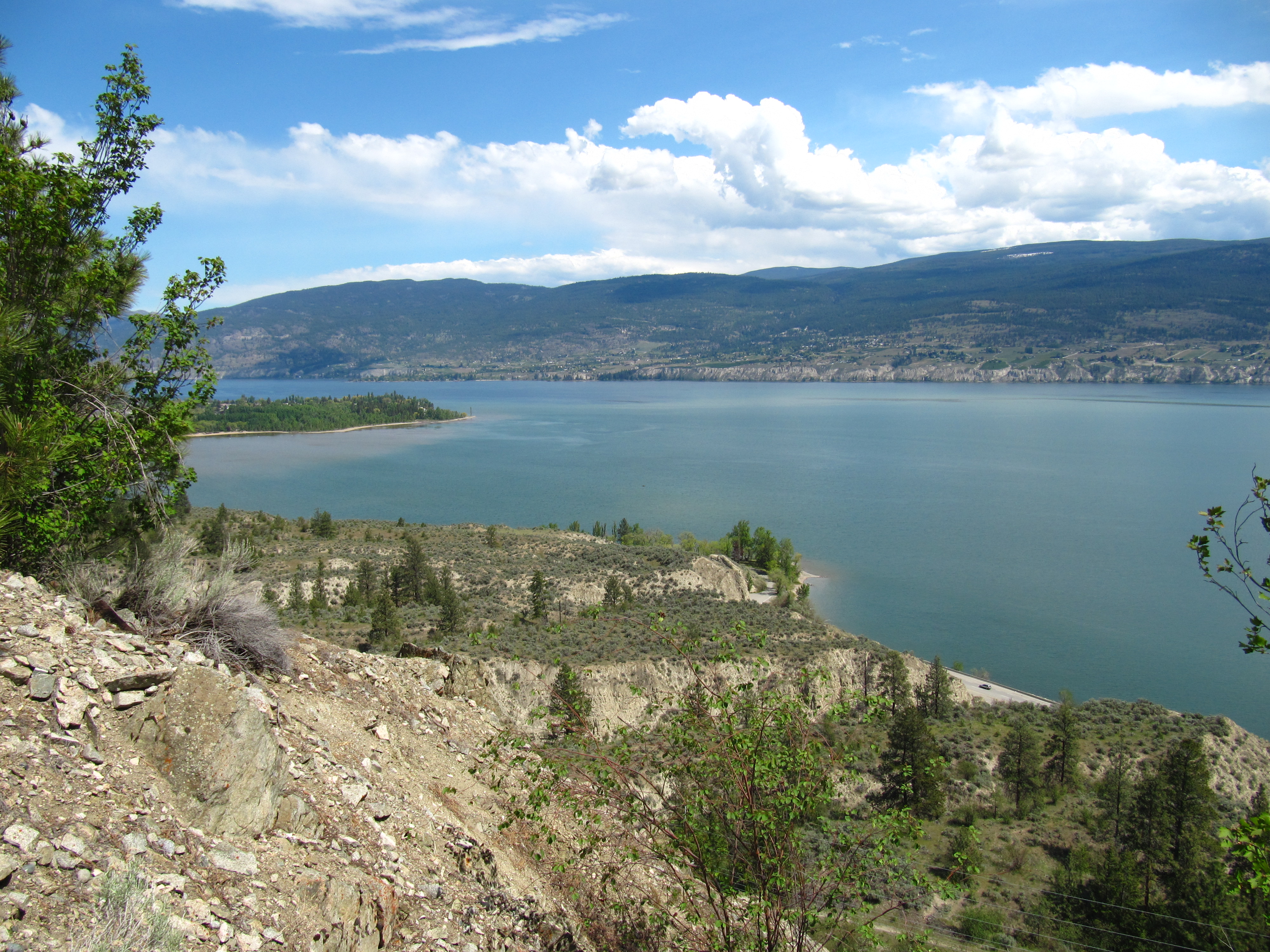
The KVR corridor between Summerland and Penticton is currently in the process of being returned to the Penticton Indian Band, and we are hopeful that it will one day become part of the KVR/TCT, but for the time being is not. The official route therefore follows Highway 97 south into Penticton. In order to reach the highway, continue downhill on Hillborn (now called Happy Valley) as it swings north. Turn right on Gartrell which continues to the highway, via either Arkell or Tait.
You may wish to note that although the KVR between Summerland and Penticton is not yet part of the TCT, it is certainly possible to travel along it for the time being. South on Canyon View, the road crosses the active railway – but a trail follows the railway heading east and turning south. The train stops at the deep canyon at Trout Creek, and the KVR continues (unpaved) downhill, 11 km south to Penticton.