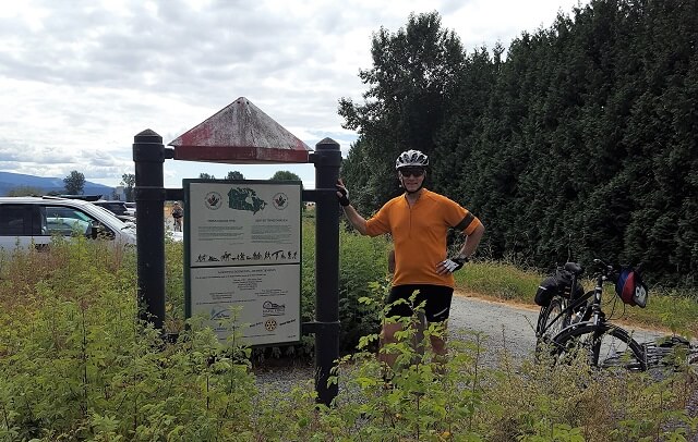
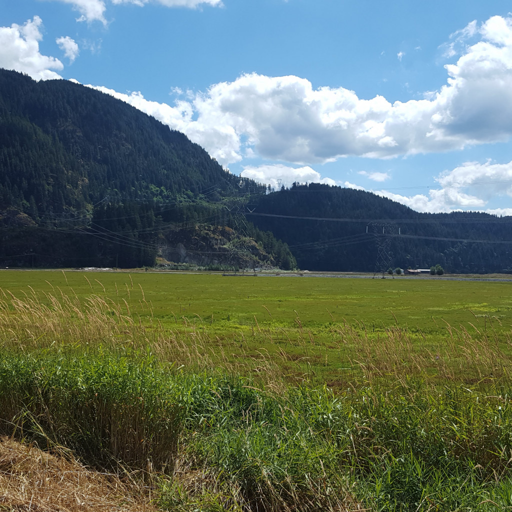
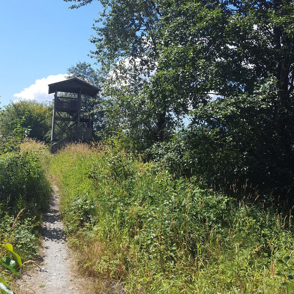
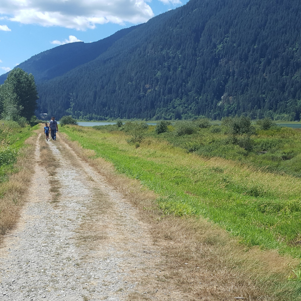
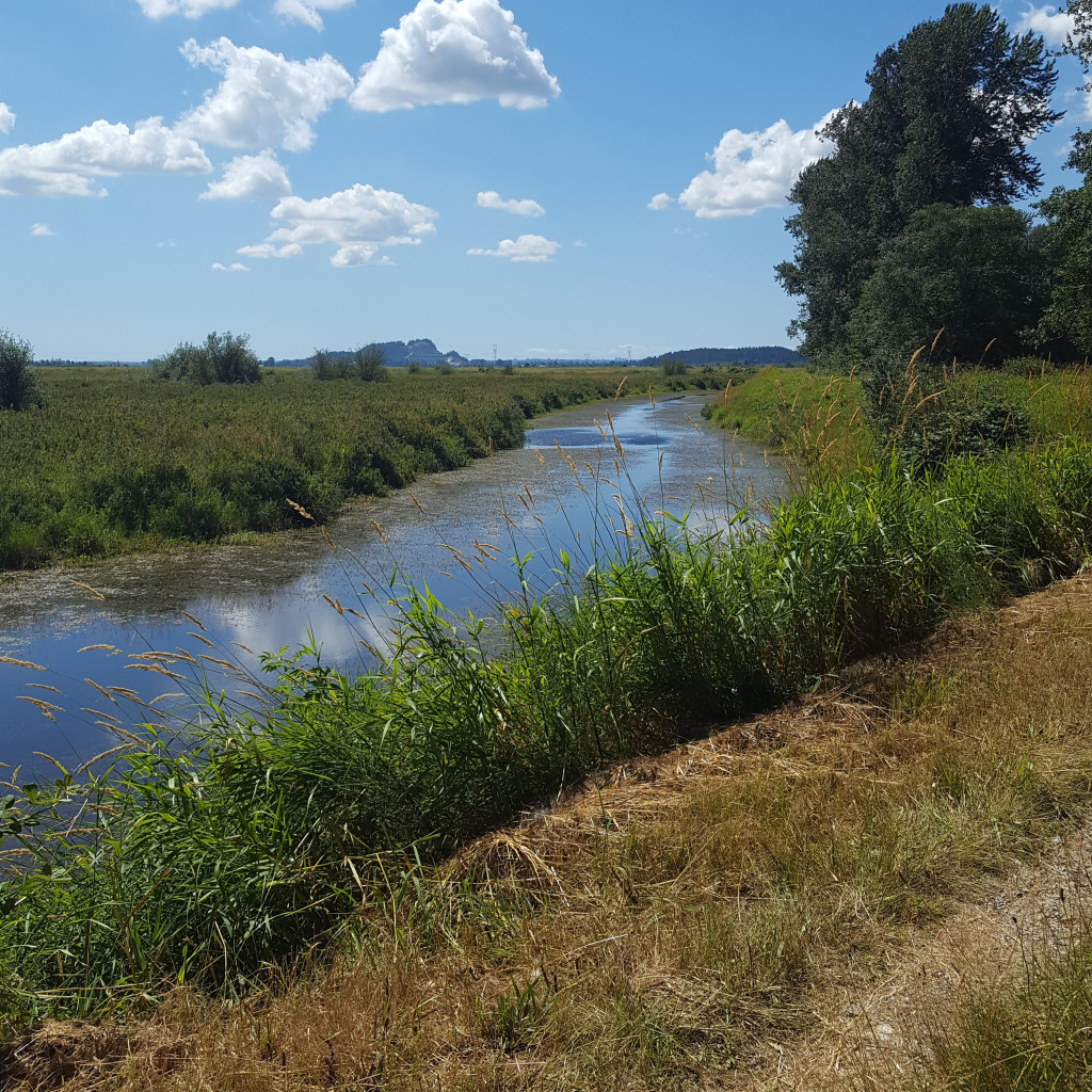
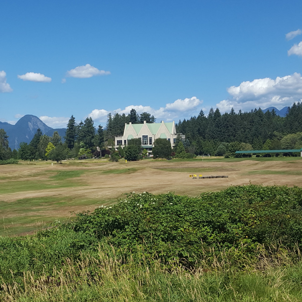
This loop allows for two important experiences: a loop along the North and South Arm of the Alouette River and a second loop that completely takes in the Pitt Polder. It is highly recommended to do both. Some may choose to cycle it in two trips. The loop between the two arms of the Alouette River is quite easy. The Pitt Polder loop is quite a bit harder even if it is also very flat because the dikes tend to be overgrown with grass. However both are very exhilarating and are great destinations. To complete the full loop allow a good 6 hours. It is recommended to do the loop counter-clockwise
Staging Areas:
GPS INFORMATION:
- KML/KMZ files can be opened in Google Earth, and many smartphone apps.
- GPX files can be opened by most GPS software apps when KMZ cannot. Note, GPX files do not contain custom colours and icons that we use on our maps; all tracks and icons will appear the same colours and styles. We recommend using KMZ instead when possible.
- GPX-Garmin are GPX files that we have optimized for older Garmin units that only display tracks that contain 500 points or less (such as Garmin eTrex units).
Visit our GPS & Navigation page for instructions of how to use your smartphone as a GPS device (even when outside of data coverage) or how to import data to your Garmin unit.
GPS DOWNLOAD (KMZ FILE)
GPS DOWNLOAD (GPX FILE)
DOWNLOAD INFORMATION SHEET


