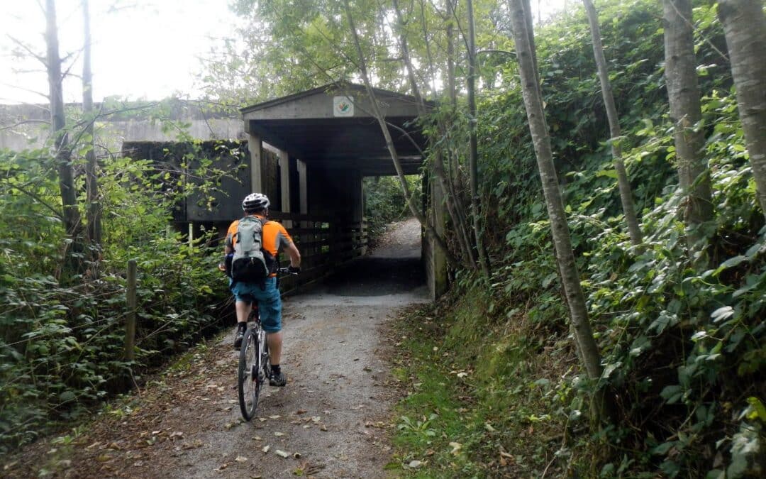
This TCT routing starts at Douglas Taylor Park at the start of the Matsqui Regional Trail that soon follows the Fraser River up to Sumas Mountain. There are significant sections along this trail that is more fun off the dike than on it. From here to Clayburn and Wilband Park is on enjoyable country roads. Allow for a good 3 hours.
There are hilly sections at both ends of this alternate route for the Trans Canada Trail. It is however mostly Greenway that can be cycled right across Surrey. Green Timbers and Tynehead Park are the highlights of this trip. It is recommended to start at the Delta end and allow about 3 hours of cycling.
This Alternate scenic section for the Trans Canada Trail, on the territory of the scəwaθen məsteyəxʷ (Tsawwassen Nation), Se’mya’me (Semiahmoo) First Nation, and the xʷməθkʷəy̓əm məsteyəxʷ (Musqueam Nation), takes in Tsawwassen Land, the Boundary Bay Regional Greenway, Mud Bay Park, Watershed Park, and Burns Bog. This is quite an easy mostly flat route that can be done in about 3 hours.
It follows the route of sməq̓ʷaʔ xeł (the Great Blue Heron Way), the vision of scəwaθen Elder xʷasteniya (Ruth Mary Adams) for reconnecting First Nations and other communities, starting on the portion of sməq̓ʷaʔ xeł in Tsawwassen Land by the Salish Sea.
This is the TCT route from Ladysmith, Haslam Creek, and Cassidy using greenway trails and roads. Most of the journey is in harvested and new growth timberland.
What a great way to experience much of the Whistler Area. The section over Green Lake is quite challenging but rewarding. The cycling route closer in to the villages is well known and an absolute joy. Overall it takes in the chain of 5 lakes that make up the Whistler area – Alpha Lake, Nita Lake, Alice Lake, Lost Lake and Green Lake. Alta Lake and lakes north of it drains northward while Nita Lake and lakes south of it drains to the south. It will take up to hours to complete the whole route with visiting and lunch stops. Some may choose to just do the easier loop within the village as well as other loops as can be seen on the map. It is best done in a clockwise direction.
Water flows – how the water out of Whistler reaches the Pacific Ocean
Alta Lake – Alta River- Green Lake – Green River – Lillooet River-Lillooet Lake- Harrison Lake-Harrison River- Fraser River
Nita Lake – Alpha Lake – Milar Creek – Cheakamus – Squamish River – Howe Sound


Recent Comments