Burnaby Mountain WALKING/HIKING TRAIL LOOP w12

Burnaby Mountain WALKING/HIKING TRAIL LOOP w12

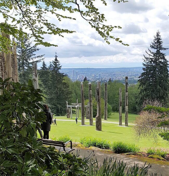
This wonderful and  more challenging walking loop allows for the discovery of a great forest ecological reserve on the north side of Burnaby Mountain.  It includes Burnaby Mountain Park with its sensational views of Metrotown, the City of Vancouver, and Burrard Inlet with its north shore mountains, manicured gardens and the possibility reaching the foreshore on Burrard Inlet.  There are days when it is possible to see as far as the Gulf Islands.  Then there are the more than 500 steps stairway up the side of the mountain to get your heart rate up, that is if you are doing the loop counterclockwise.  Allow 3 hours to complete this loop even if it is only 9 km. It is 12 km if you take in the whole foreshore of Barnet Marine Park and 13k if you take in the west sub-loop.

Vancouver City Centre WALKING/HIKING/CYCLING TRAIL LOOP w11

Vancouver City Centre WALKING/HIKING/CYCLING TRAIL LOOP w11

The City Center Loop allows taking in every part of the City including Yaletown, Chinatown, Gastown, the Convention Centers, Coal Harbour,  the West End beaches and more.  Skytrain to Waterfront Station is likely the best way to access this loop for most people.  Allow for a good 3 hours.- a little over 1 hour when cycling.

False Creek WALKING/HIKING/CYCLING TRAIL LOOP w10

False Creek WALKING/HIKING/CYCLING TRAIL LOOP w10

False Creek, actually an arm of the Salish Sea, feels like a small inland sea that can be crossed on 3 bridges.  This great greenway dotted with parks and sleek amenities wants to be walked and run over and over again.  Of course, this makes for a great cycle as well. The Granville Island Market and artisan shops are a huge draw.  There is a good chance of seeing a team of dragon boat rowers on the water.  The list of heritage, gardens, buildings and park features is quite endless.  There is something for everyone.  Allow a good 3 hours to take it all in. Skytrain to Science World Station is probably the best way to access this great experience.

Stanley Park Seawall WALKING/HIKING/CYCLING TRAIL LOOP w9

Stanley Park Seawall WALKING/HIKING/CYCLING TRAIL LOOP w9

Walking the iconic Seawall of Stanley is a must for everyone.  It frames a typical Coastal Forest while allowing viewing along the seashore that allows for beaches, rock cliffs, eagle perches, viewing of sea life, and all kinds of heritage features.  Allow 2 to 3 hours of fairly brisk walking.  Take the time to read the plaque at Siwash Rock, a First Nations transformer monument.  The best way to get there is from the Waterfront Skytrain Station and along Coal Harbour.  On a bicycle, it would take about 1 to1.5 hrs.

Capilano-Mosquito Creek HIKING/CYCLING TRAIL LOOP t63

Capilano-Mosquito Creek HIKING/CYCLING TRAIL LOOP t63

This is a Loop set in the traditional ancestral territories of the Squamish, Musqueam, and Tsleil-Waututh Nations with many interesting features. The loop spans the Spirit Trail, Capilano Regional Park, and the Mosquito Creek Trail.  It is a sensational walk from the Seashore up into a deeply forested mountainside along with canyon views.  Some particularly interesting destinations on this route are the Squamish Welcome Figure and Sna7m Smanit public art piece in Ambleside, as well the fish ladders in the Capilano Fish hatchery facility.  Be prepared for a whole day excursion of about 5-6 hours or more.  Best to start it either at the Fish Hatchery or in Ambleside Park.

There are actually 3 options on this section of the Trans Canada Trail.  The complete Spirit Trail version is a paved greenway path all the way through and can be done quite easily in 1.5 hours.  The Capilano Regional Park routing while being on parts of the Spirit Trail climbs up to the Cleveland Dam in Capilano Regional Park and continues through Edgemont Village to Mosquito Creek.  This latter route involves some roadway when cycling and can be done in less than 3 hours.  For those walking use the great Capilano Pacific Trail to the Capilano Regional Park.  Note: Loop routing is possible when going along the Capilano River.

Landmarks

Squamish Nation Welcome Figure

Artwork by Sequilieum Stan Joseph located at Ch’tl’am (Ambleside Park). Made from old growth Red Cedar it is a gift from the Squamish Nation. Welcome figures were traditionally positioned on shore lines to welcome visitors who made a canoe journey to come for potlatch. When one raises their hands in this motion it can signify thanks or welcoming.