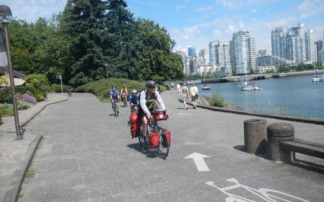
The South Vancouver Loop takes in: the north arm of the Fraser River along a series of parks; the Southlands with the Musqueam Lands; the Pacific Spirit Regional Park on the UBC campus; the beaches overlooking the Salish Sea as it enters Burrard Inlet; False Creek with Granville Island, the Olympic Village, and Science World; and returns to the Fraser River via the Central Valley Greenway and the BC/7-11 Parkway, much of it in parks and greenways in Burnaby. See the full description in ‘Directions‘ below.
Note that the orange track is the complete cycle route described here.

The main features of this loop along with its many viewpoints:
- River Rock Casino River Front
- Burkville Institutions & Airport on Sea Island
- Fraser River Dike Trail
- West Dike Trail along Sturgeon Banks and the Salish Sea
- Garry Point with its fishing fleet in Scotch Pond fleet and the Fisherman Monument
- Steveston Quay Village
- Imperial Landing and Britannia Heritage Site with its charming Chinese heritage houses and fishing boats
- South Dike Greenway Trail
- Finn Slough with its heritage houses on stilts
- Horseshoe Slough joining up with the Shell rail trail greenway
- Bridgeport rail trail greenway
Options
One can work in shorter walking loops within this map
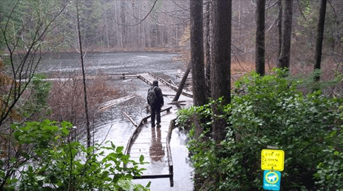
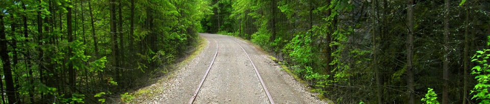
This is a very scenic 7.3 km walking loop (no bicycles and not wheelchair accessible) that tours the West Vancouver / Horseshoe Bay area on wilderness trails and abandoned rail line as well as paved urban pathways and sidewalks. Give yourself up to 3 hours for this loop as there are many places to stop along the way. The trail climbing uphill to Whyte Lake is tranquil and features large trees and lush forest floor but can be moderately strenuous. The loop can be travelled in both directions. The best starting point is at Gleneagles Community Centre.
This 2-day bicycle loop route travels from Nelson to the historic town of Kaslo, then to New Denver on a 114 km journey. The route uses an optional trail east of New Denver – featuring a cable car crossing. After spending the night in New Denver, return south to Nelson on the Slocan Valley Rail Trail – a 107 km journey.

This loop is a 2-3 day, 196 km journey, though about 26 km of this includes distances traveled on 3 separate ferry rides – in total, the journey involves about 180 km of trails and roads. However, this route can be drastically shortened with a number of shortcuts if necessary.
To shorter the journey further by 32 km, one can cut across the Saanich peninsula from the Lochside Trail to the Brentwood Bay ferry, resulting in a 148 km journey – though this cuts the enjoyable trip into Victoria.
Another shortcut can be found north of the Kinsol Trestle on the Cowichan Valley Trail – at Deerholme, an old segment of rail line turns east towards Duncan. Parts of this rail trail can be followed but needs to be properly developed over future years. Connecting to Duncan’s Friendship Trail, the route once again connects to the Cowichan Valley Trail north of Duncan. However, this shortcut removes a significant portion of very beautiful rail trail from the route, and misses the community of Lake Cowichan.
The route through Salt Spring Island is almost all on roads, but this route has been determined to be the quietest route across the island.
Ferries to/from the mainland can be found at Sidney’s Swartz Bay, or alternatively, Salt Spring’s Long Harbour.

Recent Comments