
You are presented here with an enjoyable variety of possible bike loop or linear tours that features rail-trails that connect Ferry County in the USA and Boundary in BC, Canada. The loop and linear rail trail distances are listed in the Map Legend.
Some interesting features to note:
The Kettle River: It is 282 km long starting in Roosevelt Lake in B.C., hits the Trans Canada Trail at Westbridge, dips in Washington USA at Midway, returns to BC in Grand Forks, and south of Christina Lake heads back to Washington to empty in the Columbia River at Kettle Falls. In these tours, the route follows it for 60 km.
Parks, rivers, lakes, bridges, canyons, cascading water, valleys, and monuments, all with their heritage values, provide for a large variety of features. One could spend up to 4 or 5 days exploring the invigorating landscape along these routes. The loops provide for uniquely separate excursions. You are more likely to be in hilly terrain when choosing the roads as part of your journey.
For a more detailed description Ferry County rail trail here and here
Its full name is: UBC Malcom Knapp Reasearch Forest. A Description of each of the loops are to come. For more information:
Map from UBC Research Forest Site
Vancouver Trails Site
Wikipedia

The Baden Powell Trail is a bucket list or iconic trail that needs two to four-day hikes because there is no camping along the way. However, there are several good access points. It is mainly a single-track trail that is quite rugged most of the way with the first leg out of Horseshoe Bay probably being the most challenging because of the quick change in elevation and a scramble across rock scree or talus heading up Black Mountain. The challenges after that tend to be getting in and out of deep creek gorges. The knee-Knacker runners do it in one day.
The Boy Scouts and Girl Guides were inspired by the centennial year of B.C’s entry into Confederation in 1871 to establish this legacy trail in 1971.
Burke Mountain Village Loop of 6.4 km – elevation change of 150 metres
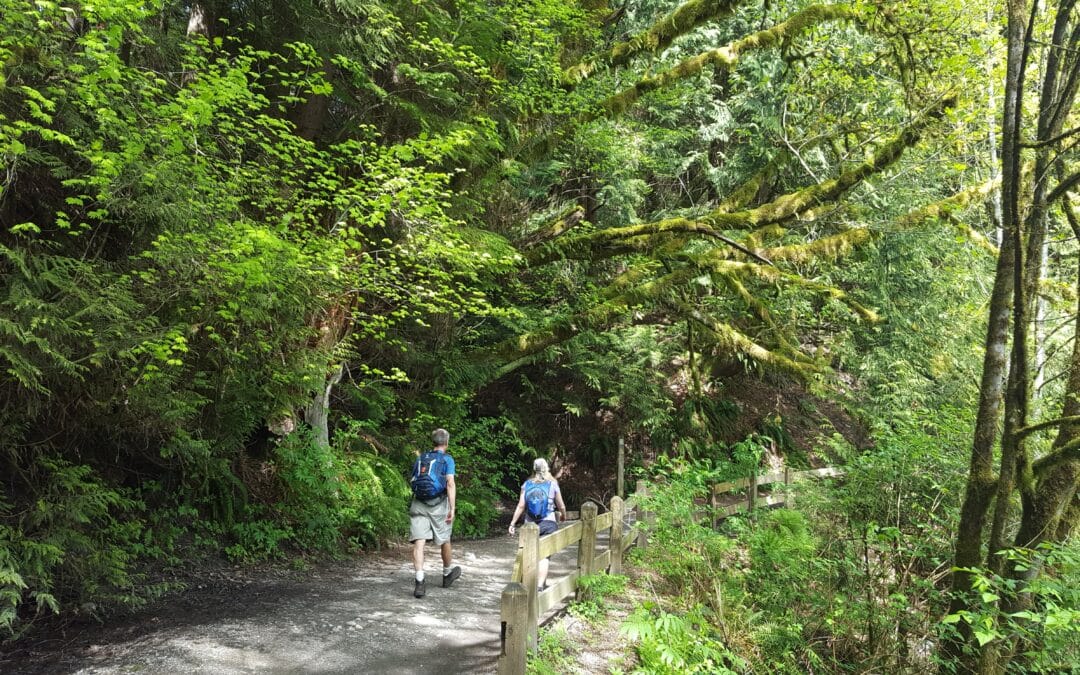
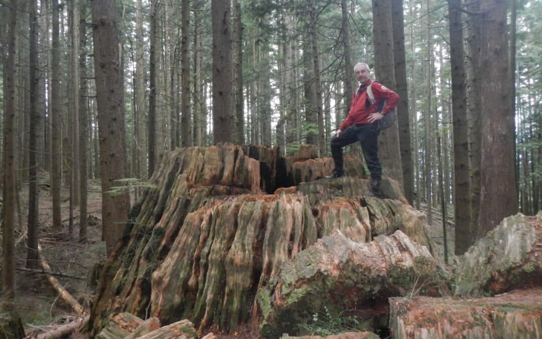
This quite easy walking loop offers the opportunity to see how greenways and parks have been integrated into this new community on the outskirts of Coquitlam The greenways include Smiling Creek, Hyde Creek, and a BC Hydro right-of-way. Expect to be among giant cedars and Douglas Fir trees. The primitive stumps are of interest as well. There are opportunities to take in views all the way to Mount Baker on a clear day. While on some of the city sidewalks it is interesting to take in the various residential styles in this densely populated neighbourhood. Also, of interest in the neighbourhood are the multi-use paved pathways along David Avenue and Coast Meridian Road.
Crystal Falls – Woodland Trail – and Burke Village Loop 14 to 20 km – elevation change of 300 metres
This worthwhile day hike takes in the features of the Mountain Village Loop excluding the west side of the loop which is less featured than the east side. Much of this trail is quite a bit more rugged giving the feeling of being in the backcountry following Coquitlam River, and viewing such sites as the magnificent Crystal Falls and spectacular views over Coquitlam Lake, the water supply for the region. The length of the hike is dependent on alternatives that you may wish to take. Note that if the water is too high at the base of Crystal Falls there is an alternative route that can be taken before the falls.

This unforgettable hike along the Pacific Coast is somewhat rugged in places. It allows for shorter less rugged by-passes (magenta track) that miss the truly iconic viewpoints that have viewing platforms. It is a trail that is still in progress with the eventual goal of joining up with the Pacific Rim National Park with its magnificent sandy beaches. This trail is quite a contrast to Long Beach showing off the ruggedness of the Pacific Coast with the sea ravaging its rock cliffs and its effects on the vegetation. There are opportunities to go on the beach when the tide is out or heading out when on the lighthouse part of the trail. Allow about 3 hours to explore the whole trail. Go to this website for a brochure about the trail.

Recent Comments