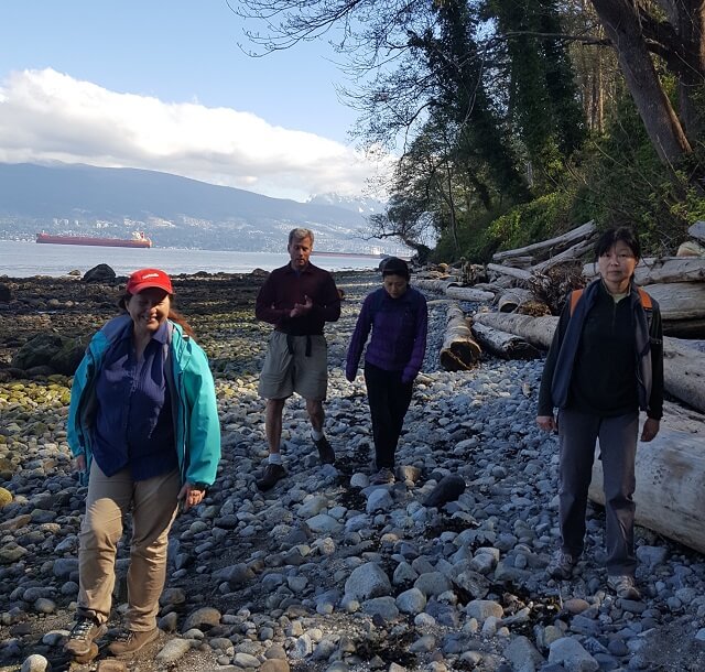
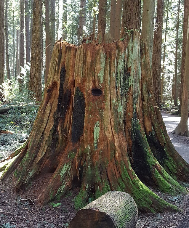
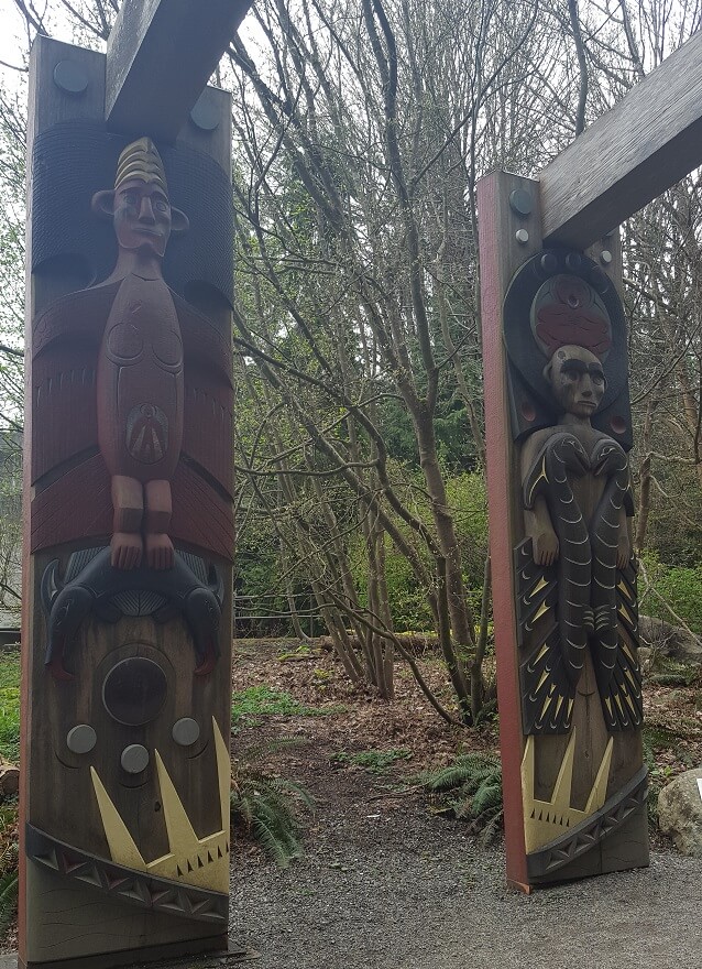
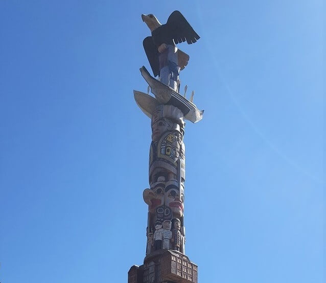
This walking loop takes in Pacific Spirit Regional Park including Wreck Beach with its towering cliffs. It also takes in a few campus features such as the new Reconciliation regarding Resicential Schools Haida Totem Pole and other Totems. The whole loop is an amazing natural setting that takes advantage of the majestic coastal forest and seashore of the UBC Endownment Lands. Along the seashore there a couple of WWII bunkers to distract. Be prepared for lenghty stairways up and down the cliffs. Expect nudists between trail 3 and 6 which can be mainly avoided by following the magenta routing through UBC Campus. Completing this whole loop will likely take about 3.5 to 4.5 hours.
Staging Areas:
GPS INFORMATION:
- KML/KMZ files can be opened in Google Earth, and many smartphone apps.
- GPX files can be opened by most GPS software apps when KMZ cannot. Note, GPX files do not contain custom colours and icons that we use on our maps; all tracks and icons will appear the same colours and styles. We recommend using KMZ instead when possible.
- GPX-Garmin are GPX files that we have optimized for older Garmin units that only display tracks that contain 500 points or less (such as Garmin eTrex units).
Visit our GPS & Navigation page for instructions of how to use your smartphone as a GPS device (even when outside of data coverage) or how to import data to your Garmin unit.
GPS DOWNLOAD (KMZ FILE)
GPS DOWNLOAD (GPX FILE)
DOWNLOAD INFORMATION SHEET


