

Midway to Grand Forks. Columbia & Western Railway / Trans Canada Trail in the Greenwood Area
Midway to Grand Forks
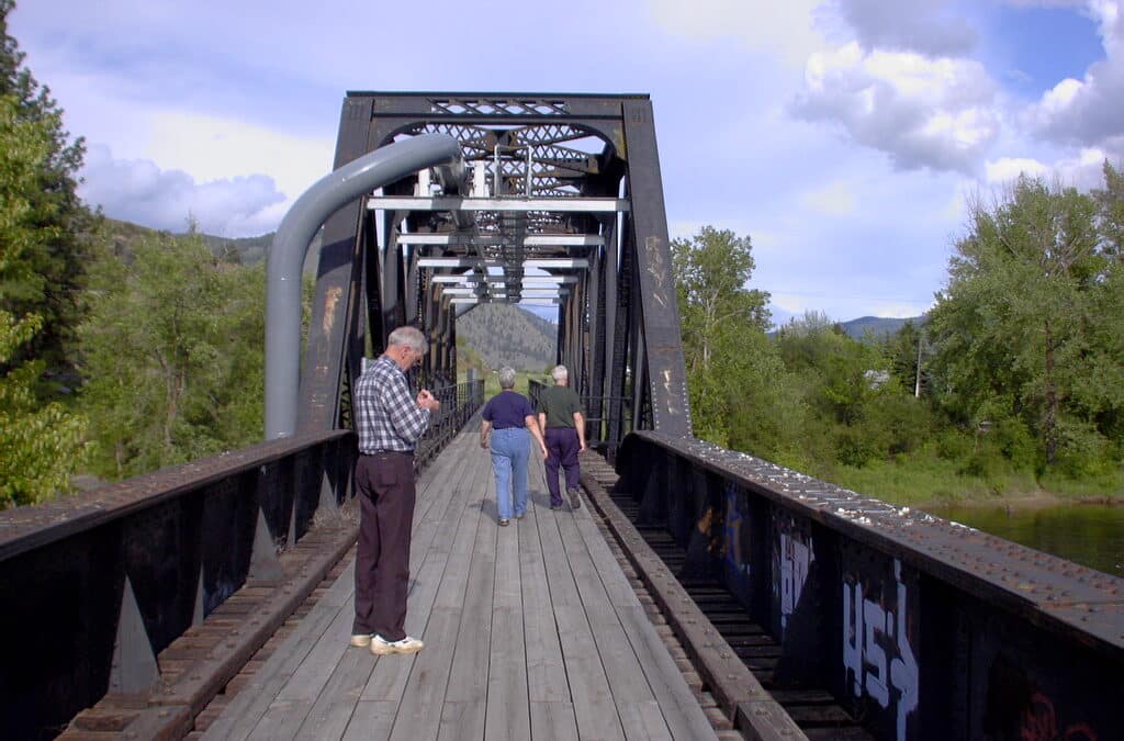
The Columbia & Western Railway from Midway to Grand Forks begins as a pleasant stretch of trail with at first sandy surface conditions. Some people have called it the “Midway Beach” it is so sandy, but as you travel up and around the curve to the left you will find more solid conditions. With the motorized use this route is getting rougher, but it’s worth the ride to not be on the busy highway. At Boundary Falls it levels out to Greenwood and be sure to take a moment to check out the town of Greenwood when passing through. Large bell-shaped coal slag heaps (called “Hell’s Bells” by the locals) are one of many attractions. Also, a stroll down Greenwood’s main drag is a trip back in time!
The Tunnel of Flags is located north of Greenwood at the highway crossing. Watch for traffic at this, as well as the other highway crossing just west of Eholt. It’s a gentle uphill to Eholt, through pastureland and a great birding area. Please stay on the trail and close gates! Though little to nothing remains of Eholt Station, it once rested at the summit of the pass – and northernmost point between Greenwood and Grand Forks. Eholt became the CPR’s divisional point and ore hauling headquarters. Due south and higher still was the growing city of Phoenix with its rich copper and gold mines; a branch line with spurs was built to carry Phoenix ores to local smelters. Eholt yards included a roundhouse, and powerful Shay locomotives which made daily trips to Phoenix. By 1920, an amazing 15 million tons of ores had been shipped, but the mines soon closed, and Eholt like Phoenix was abandoned.
Further east from Eholt, the north-facing forested area between to Granby tunnel can be a dark and perhaps gloomy place, but after turning south and passing through the tunnel, views of the Granby river valley below will lift your spirits! An emergency shelter is located immediately south of the tunnel with bunks and tables, however there is no water source until you reach Fisherman Creek several kms to the east.
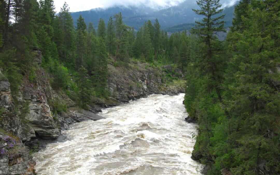
The Columbia & Western runs downhill from the flanks of Thimble Mountain at the Granby Tunnel, through the streets of Grand Forks.

Recent Comments