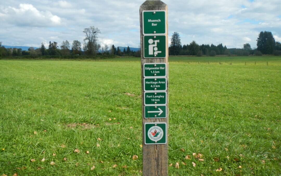
Langley Central c44b
Langley on both sides of Highway 1 taking in Greenways in Walnut Grove and Willoughby Communities.

Langley on both sides of Highway 1 taking in Greenways in Walnut Grove and Willoughby Communities.

This loop has more cycling on roads and features Crescent Beach, Crescent Park, White Rock Urban Forest, White Rock beaches, Peace Arch Park, Campbell Valley Regional Park, Redwood Forest Park, and the Semiahmoo Trail.
Note: We now ask you to bypass the Semiahmoo Reserve by using the alternate route. They have posted no trespassing signs.
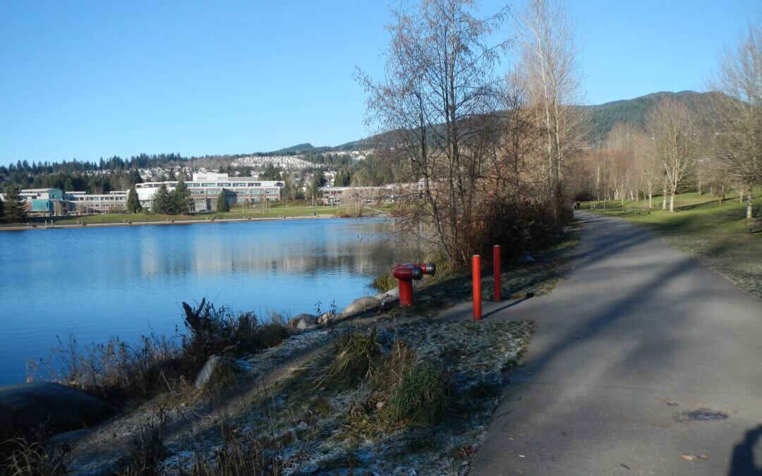
The TriCities/Burnaby has quite a bit of variety: There are single track trails, dikes, short fairly steep inclines, paved trail, and some roads. In other words it is quite a bit of fun if you are fit. There are easier sub-loops from which to choose such as the PoCo Trail, and trails around the Coquitlam Center.
The main features include: Coquitlam City Center Park with its Lafarge Lake, salmon streams in greenways, Rocky Point Park in Port Moody, Barnet Marine Park, Burnaby Urban Trail, a Section of the Central Valley Greenway along the Brunette River, Colony Farm Regional Park, the dikes along the Fraser River and the Pitt River, the Coquitlam River Park, and as a great option Minnekhada Regional Park.
See the full description in ‘Directions‘ below.
Note that the orange track is the complete cycle route described here.
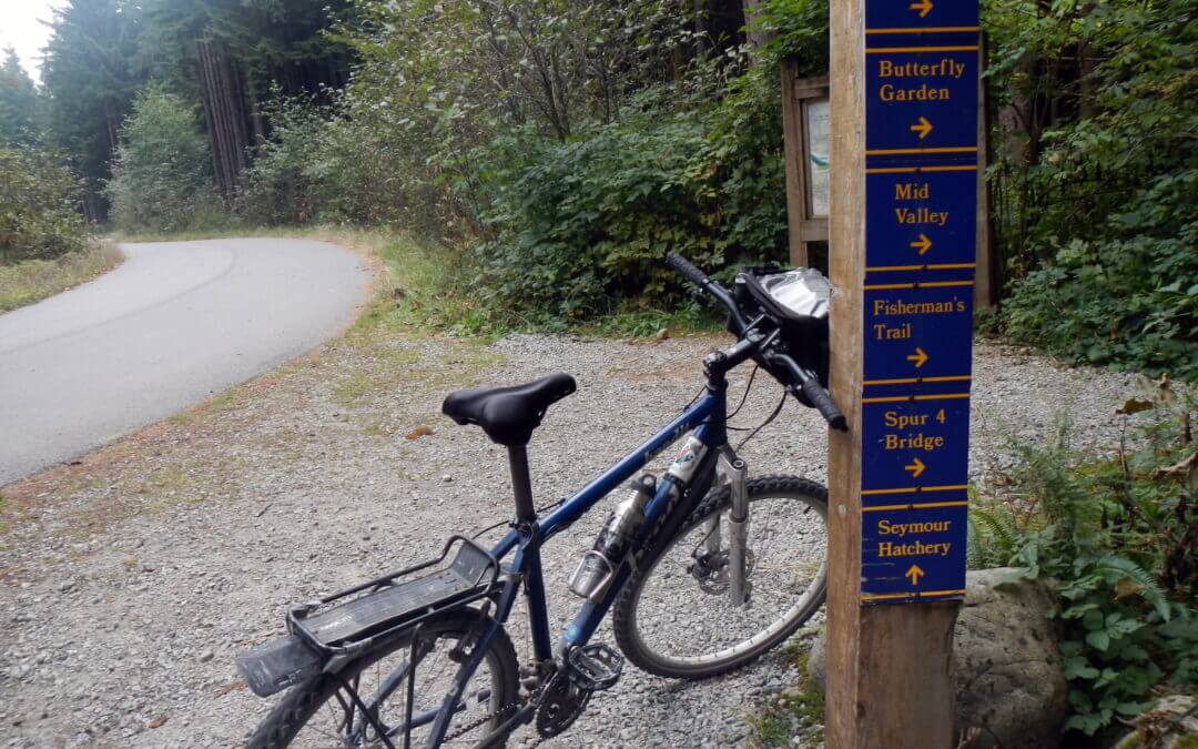
This loop features an 11 km paved pathway in a mature forest, a primitive forest, the Seymour Dam and Reservoir, the Fisherman’s Trail along the Seymour River, the Lynn Valley Suspension Bridge and Lynn River, Water Reservoir plant, picturesque Rice Lake, and much more. It is quite hilly and therefore the 42 km distance is a bit deceiving in terms of the time it takes to do this loop.
Note that the orange track is the complete cycle route described here.
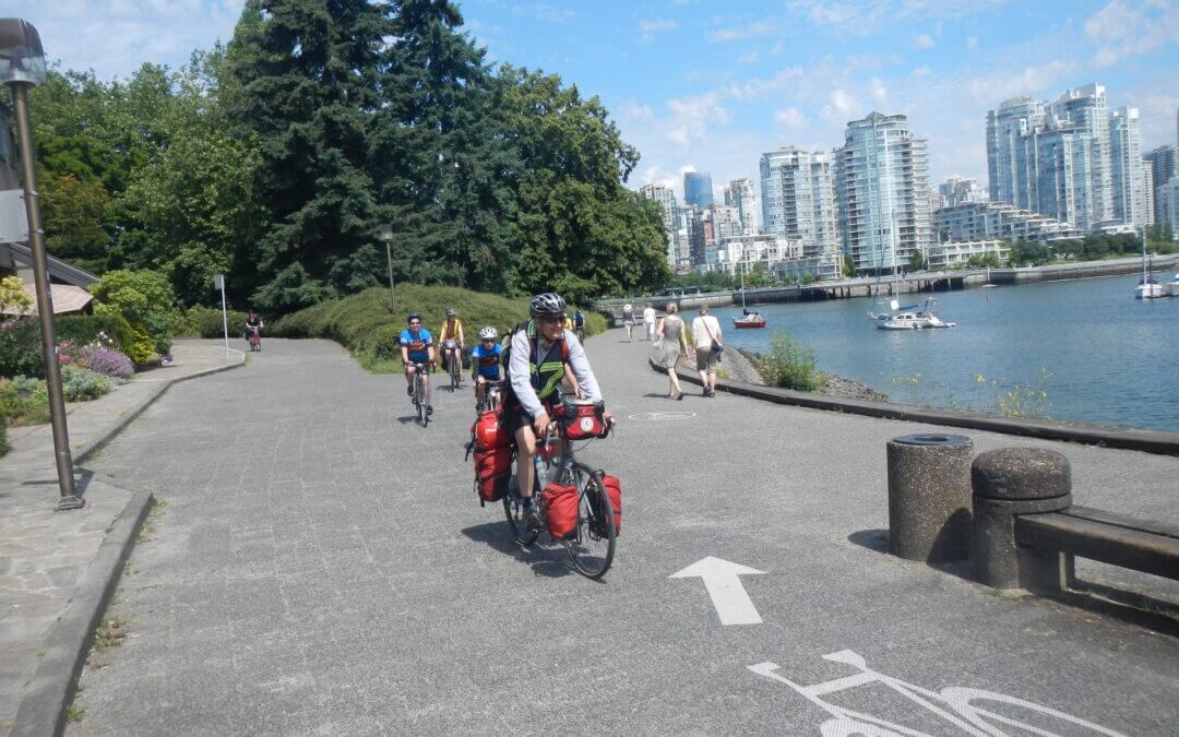
The South Vancouver Loop takes in: the north arm of the Fraser River along a series of parks; the Southlands with the Musqueam Lands; the Pacific Spirit Regional Park on the UBC campus; the beaches overlooking the Salish Sea as it enters Burrard Inlet; False Creek with Granville Island, the Olympic Village, and Science World; and returns to the Fraser River via the Central Valley Greenway and the BC/7-11 Parkway, much of it in parks and greenways in Burnaby. See the full description in ‘Directions‘ below.
Note that the orange track is the complete cycle route described here.
Recent Comments