
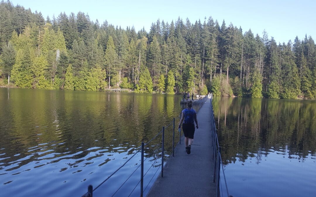
It takes in greenways in South Burnaby and Lulu Island/Queensborough via the Skytrain Bridge and a number of parks. It does involve connecting roads as well. On a clear day there are great views of the mountains to be had from the Lulu Island side. Much of the trail follows the Fraser River.
When starting at 9:30 a.m. from the 22n St. Skytrain Station while proceeding counterclockwise, it is possible to have a coffee break at Roner’s Burger Bar on the Fraser Foreshore, lunch at the Lakeside Grill at the Mayfair Golf and Country Club, and finishing the day at the Frankie G’s Boiler House Pub in Queensborough. Visiting the Winery along the way allows for wine tasting.
These are optional Loops taking in Buntzen Lake to Sasamat Lake. The options allows for longer or shorter hikes. All of it are mainly single track trails with the trail above Buntzen Lake known as the Diez Vistas Trail as the most challenging.
Its full name is: UBC Malcom Knapp Reasearch Forest. A Description of each of the loops are to come. For more information:
Map from UBC Research Forest Site
Vancouver Trails Site
Wikipedia

The Baden Powell Trail is a bucket list or iconic trail that needs two to four-day hikes because there is no camping along the way. However, there are several good access points. It is mainly a single-track trail that is quite rugged most of the way with the first leg out of Horseshoe Bay probably being the most challenging because of the quick change in elevation and a scramble across rock scree or talus heading up Black Mountain. The challenges after that tend to be getting in and out of deep creek gorges. The knee-Knacker runners do it in one day.
The Boy Scouts and Girl Guides were inspired by the centennial year of B.C’s entry into Confederation in 1871 to establish this legacy trail in 1971.
Burke Mountain Village Loop of 6.4 km – elevation change of 150 metres
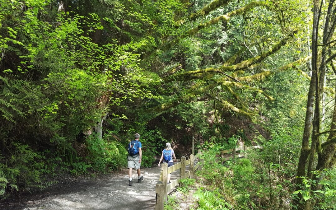
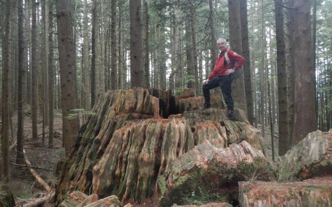
This quite easy walking loop offers the opportunity to see how greenways and parks have been integrated into this new community on the outskirts of Coquitlam The greenways include Smiling Creek, Hyde Creek, and a BC Hydro right-of-way. Expect to be among giant cedars and Douglas Fir trees. The primitive stumps are of interest as well. There are opportunities to take in views all the way to Mount Baker on a clear day. While on some of the city sidewalks it is interesting to take in the various residential styles in this densely populated neighbourhood. Also, of interest in the neighbourhood are the multi-use paved pathways along David Avenue and Coast Meridian Road.
Crystal Falls – Woodland Trail – and Burke Village Loop 14 to 20 km – elevation change of 300 metres
This worthwhile day hike takes in the features of the Mountain Village Loop excluding the west side of the loop which is less featured than the east side. Much of this trail is quite a bit more rugged giving the feeling of being in the backcountry following Coquitlam River, and viewing such sites as the magnificent Crystal Falls and spectacular views over Coquitlam Lake, the water supply for the region. The length of the hike is dependent on alternatives that you may wish to take. Note that if the water is too high at the base of Crystal Falls there is an alternative route that can be taken before the falls.

Recent Comments