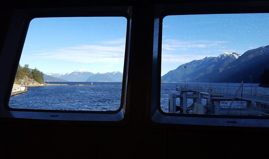
It comes off the Trans Canada Trail at Horseshoe Bay by taking a 20 minute ferry to Bowen Island. There is no need to take a vehicle over for this loop. The loop is 16 km ( 2.2km less if you leave out Dorman Point). This is quite an easy walk including restaurants and shops. Allow up to 6 hours to do the whole trail allowing for stops. A good meetup place is in front of the Library just beyond the Snug Cover Ferry terminal.
Main features for this walking loop:
Snug Cove itself with its amenities and a great waterfront
Bridal Falls and Fish Ladder
Killarney Lake circuit
Killarney Meadow and Fish Hatchery
Grafton Lake
Artisan Square (place to eat as well)
Dorman Point Lookout (Can be kept as an option of 2.2 km)
There are hilly sections at both ends of this alternate route for the Trans Canada Trail. It is however mostly Greenway that can be cycled right across Surrey. Green Timbers and Tynehead Park are the highlights of this trip. It is recommended to start at the Delta end and allow about 3 hours of cycling.
This Alternate scenic section for the Trans Canada Trail, on the territory of the scəwaθen məsteyəxʷ (Tsawwassen Nation), Se’mya’me (Semiahmoo) First Nation, and the xʷməθkʷəy̓əm məsteyəxʷ (Musqueam Nation), takes in Tsawwassen Land, the Boundary Bay Regional Greenway, Mud Bay Park, Watershed Park, and Burns Bog. This is quite an easy mostly flat route that can be done in about 3 hours.
It follows the route of sməq̓ʷaʔ xeł (the Great Blue Heron Way), the vision of scəwaθen Elder xʷasteniya (Ruth Mary Adams) for reconnecting First Nations and other communities, starting on the portion of sməq̓ʷaʔ xeł in Tsawwassen Land by the Salish Sea.
This great loop doesn’t directly connect with the Trans Canada Trail but there is work afoot to have it connected and could lead to a connection into the United States. It takes in the Semiahmoo Heritage trail and of course the famous Crescent and White Rock beaches along with several greenways and parks. It involves some hill climbing and is best done in a counter clockwise direction. Allow about 4 hours for this loop.
Here is a Youtube video of the Loop: https://www.youtube.com/watch?v=O0_dSOlxamE
This loop takes advantage of the TCT and Fort-to-Fort Trail along the Fraser River, watercourses in Walnut Grove, Tynehead Regional Park, and Surrey Bend Regional Park with the possible addition of Brae Island Regional Park (extra 5k) and looping around Barnston Island (extra 10k). It also uses the separated paved pathway along Golden Ears Way. What a great way to explore this region. Allow about 5 hours for the main loop. It is best done in a clockwise direction.


Recent Comments