
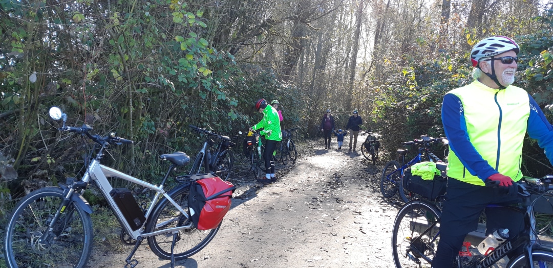
The main loop can be done between 47 and 50 km. It is worth noting that this can be divided into a number of shorter cycling or walking loops.
It highlights a number of waterways:
- Howe Sound
- Squamish River
- Maquam River
- Stawanus River
- Maquam Blind Channel
- the Squamish Spit Estuary
The main Centers are:
- The Squamish Town Centre
- Brakendale
Connects a number of trail routes: or greenways
- The Sea-to-SkyTrail/Trans Canada Trail-The Great Trail
- Ocean Front Loop Trail
- The Apron Trail to the Stawmus Chief cliff
- The Stawamus Dike Trail
- The Laughing Turtle Trail
- The Maquam River Trail
- Ray Roberts Trail
- The Discovery Trail
- Estuary Trail
- Smoke Buffs Trail
Interesting Features:
- Shannon Falls Provincial Park
- Stawamus Chief cliffs
- Totem – Squamish Nation – Salish Coast Indigenous People
- Visitor Centre
- Mountain Peaks all around
- Forest and bog experiences
- Alice Lake Provincial Parks

This portion of the Sea-to-Sky Trail features the Cheakamus Canyon, Squamish greenway, and Shannon Falls. Again a mountain bike is recommended. This ride is best done downhill starting at Cheakamus Canyon. There is a significant quiet road section going through Paradise Valley.
For more detail information go this link on the Trails BC Website. This is a section of the Seat-to-Sky Trail as well as the Trans Canada Trail. A good part of this trail is quite hilly and rugged and should be done on a mountain bike. Expect an adventurous ride.

This deceivingly short distance is quite a challenge above Green Lake and should be done on a mountain bike. It is part of the Sea-to-Sky Trail and also the Valley Trail. It takes in Whistler Village along with the surrounding lakes. Please be reminded that this is part of the Cycle Loop c48 which may be a better way to experience this trail, especially if shuttling is an issue.

What a great way to experience much of the Whistler Area. The section over Green Lake is quite challenging but rewarding. The cycling route closer in to the villages is well known and an absolute joy. Overall it takes in the chain of 5 lakes that make up the Whistler area – Alpha Lake, Nita Lake, Alice Lake, Lost Lake and Green Lake. Alta Lake and lakes north of it drains northward while Nita Lake and lakes south of it drains to the south. It will take up to hours to complete the whole route with visiting and lunch stops. Some may choose to just do the easier loop within the village as well as other loops as can be seen on the map. It is best done in a clockwise direction.
Water flows – how the water out of Whistler reaches the Pacific Ocean
Alta Lake – Alta River- Green Lake – Green River – Lillooet River-Lillooet Lake- Harrison Lake-Harrison River- Fraser River
Nita Lake – Alpha Lake – Milar Creek – Cheakamus – Squamish River – Howe Sound

Recent Comments