
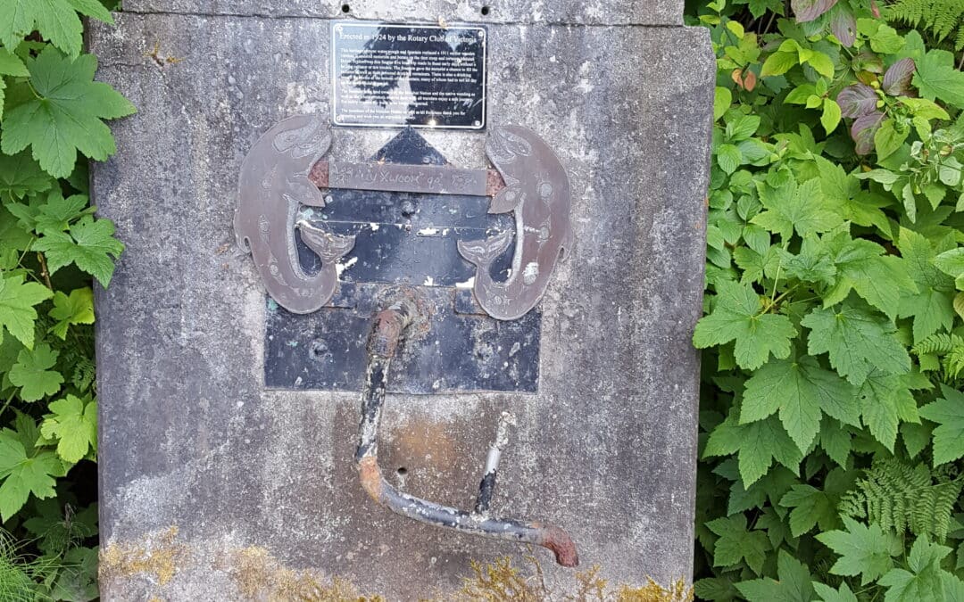
The Galloping Goose is named after the gasoline-powered freight railway cars that once chugged along this corridor, built during World War I to serve the communities west of Victoria.
This picturesque trail moves through urban, rural and wilderness scenery on its 55 kilometre journey from Victoria to the ghost town of Leechtown (north of Sooke) – you can even travel an additional 4 km past Leechtown to the termination point (a large fence blocking the trail) for a total of 59 km. While in operation, the railway continued north towards Shawnigan Lake and over the Kinsol Trestle in the Cowichan Valley. The entire trail was once designated as part of the Trans Canada Trail. However, the portion along Sooke Lake (north of Leechtown) has been closed to the public, as this is now the regional water supply – and the lake has been dammed and portion of the railway have been flooded. Although the portion of the trail between Victoria and Langford is still part of the Trans Canada Trail, the portion that continues from Langford to the terminus at Leechtown at Sooke Lake is no longer part of the “main route” as it cannot continue towards the Cowichan Valley.
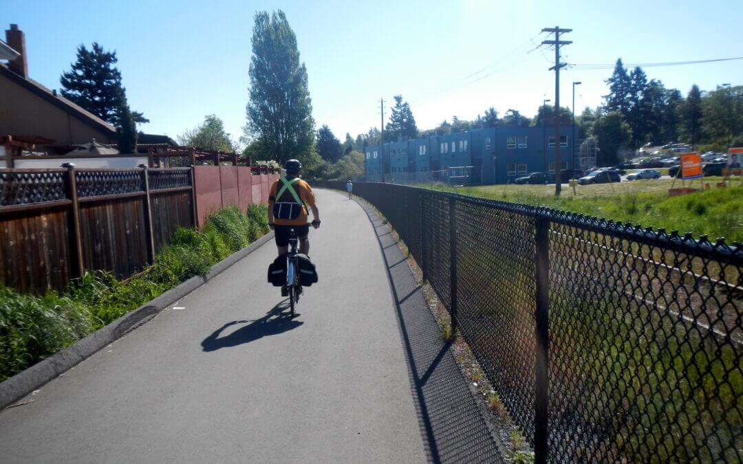
The entire trail is surfaced with high quality, finely graded gravel. You can cycle, stroll, run, or even ride a horse through the rural sections. At the switch bridge in Victoria, “The Goose” intersects with the Lochside Regional Trail, a 29 kilometre former railway line from Saanich to Sidney.
While it is possible to cycle from Victoria to Leechtown and back in one long day, at about 118 km, it’s a challenge. Some options are finding accommodations in the Sooke area, camping at the Sooke Potholes (adjacent to the Goose before Leechtown) or riding out to Highway 14 and picking up a BC Transit bus (you can mount your bicycle on a rack on the front of all BC Transit buses). More information about these options is included below (under Accommodations and Transportation)

This route is a suitable alternative to traveling the Trans Canada Trail north on Vancouver Island to reach the lower mainland (Vancouver area) via the Swartz Bay-Tsawwassen ferry. Our Southwest region maps provide information on routes connecting from the Tsawwassen ferry terminal.
This route is an ideal route to bypass the Sooke Hills Wilderness Trail which connects the Trans Canada Trail between Capital Regional District and the Cowichan Valley Regional District.
Although the Sooke Hills Wilderness Trail is open and operational, it can be a challenging route for cyclists hauling trailers or carrying panniers – particularly those travelling from north to south. In the past, many TCT users have simply used the Trans Canada Highway from Langford to Shawnigan Lake to travel over the Malahat, but this route is quite dangerous and downright unpleasant, as highway traffic whizzes by your shoulder at speeds over 100 km/h.
Instead, for these touring cyclist users, we highly recommend this alternate route to bypass the Malahat; it is our favourite because it is an equally hiking and biking-friendly route. On the southern end it connects to the Galloping Goose nearby the Switch Bridge at the northern end of Victoria. It immediately joins with forested urban trails, such as the Colquitz River Trail, Glendale Trail and the Centennial Rail Trail north to Wallace Drive. A short section of quiet rural road takes users to Brentwood Bay.
From Brentwood Bay, a ferry (approx $8 per passenger + $2 per bicycle) can take travellers to Mill Bay, located north of the Malahat. From here, it’s almost all roadway connections to the Cowichan Valley Trail, except a shortcut that bypasses a section of the Trans Canada Highway which is quite pleasant.
Shortly after passing the north shore of Shawnigan Lake, the roadway will cross the Cowichan Valley Trail where users can continue their adventure further north along the TCT. Unfortunately, this bypass does miss a great deal of operational Trans Canada Trail along the Galloping Goose and the west shore of Shawnigan Lake, but it is most likely the safest, flattest and most effective ways of bypassing the Malahat.
An alternative to this route is to follow the Lochside Trail north to Island View Road. East Saanich Road and Stelly’s Cross Road will provide the connection to the Brentwood Bay ferry. This route uses slightly less distance on roadways and is easier to navigate, but does involve climbing over the “hump”: of the Saanich Peninsula as well as a stretch of road that is less bike friendly between the trail and Brentwood Bay. A third bypass method is travelling to Salt Spring Island (via Swartz Bay) to Crofton, but this bypasses the entire Cowichan Valley.
This destination loop will provide for quite a variety of optional sub-loops. The main loop has for its spine the Galloping Goose Trail, the E&N Rail Trail, and the Lochside Trail allowing for a variety of destinations in the Saanich Peninsula, Esquimalt and Victoria that include walking loops of as little as 2.5 km to cycle loops that exceed 100 km. As well as that there is an added option of including the Victoria Seaside Touring Loop all of which creates a destination that could involve several days of cycling.
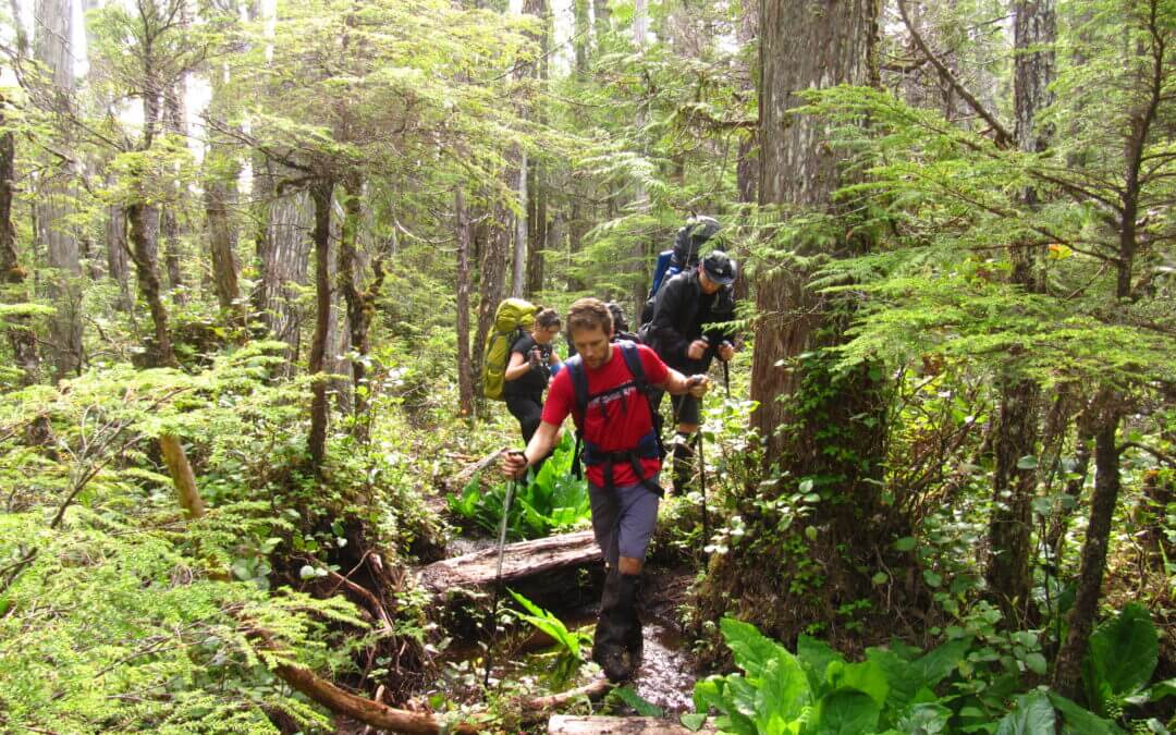
The North Coast Trail is a 43.1 km extension to the original Cape Scott trail. Yet, when combined with a round trip to/from the Cape Scott Lighthouse, and the trip south to the San Josef staging area, the trip totals nearly 80 km. The minimum recommended one way hiking time is 5 days; although, it is more commonly completed in 6 to 8 days. Hiking times are estimated for the average hiker in good physical condition in optimal weather conditions. The trail became operational in 2008.
This is a very challenging route and is not recommended for inexperienced hikers. Many sections require hikers to climb over or along fallen trees, to cross through deep mud, and to use fixed ropes to climb up and over steep sections. It is not recommended for those with a fear of heights. Consider hiking sections of the Juan de Fuca Marine Trail or the Cape Scott Trail to Nels Bight prior to attempting a trip to the North Coast Trail.
The North Coast Trail is not recommended for dogs. There are many steep headland sections on the trail with extensive rope work. These sections are not suitable for domestic animals.
The trail is located in a wilderness area with minimal supplies or equipment of any kind. It is not regularly patrolled, so hikers should be completely self sufficient. It is strongly recommended that ALL hikers carry a satellite phone or VHF radio in case of emergency. Cell phones do not work in the park, and assistance may be days away in case of an accident.
The trail runs along the northern end of Vancouver Island spanning Cape Scott Provincial Park. It can be traversed east to west from Shushartie Bay to the eastern end of Nissen Bight or in reverse from west to east. The trail becomes progressively easier in the east to west direction. Access to the Shushartie Bay trailhead is by boat or floatplane only. There are currently no docking facilities. One water taxi service runs from Port Hardy during the summer season. Access to the western portion of the trail is from the San Josef parking lot at the Cape Scott trailhead. Shuttle service to the parking lot can also be arranged in Port Hardy.
There is a fee for backcountry camping along the trail. Review the fees and make a reservation using BC Parks’ web site. See the link below.
Here’s a video from Karysa and Jackie from their journey along the trail in 2017:
North Coast Trail & Cape Scott Provincial Park (Karysa and Jackie – Our Loveland) from Karysa Brossoit on Vimeo.

Recent Comments