
This Loop takes us over the Port Mann Bridge, the Alex Fraser Bridge, and Queensborough Bridge. The route follows as many greenways, regional parks and local parks as possible. The spectacular views from the bridge decks are among the main features of these rides. Two of these magnificent bridges are cable-stayed.
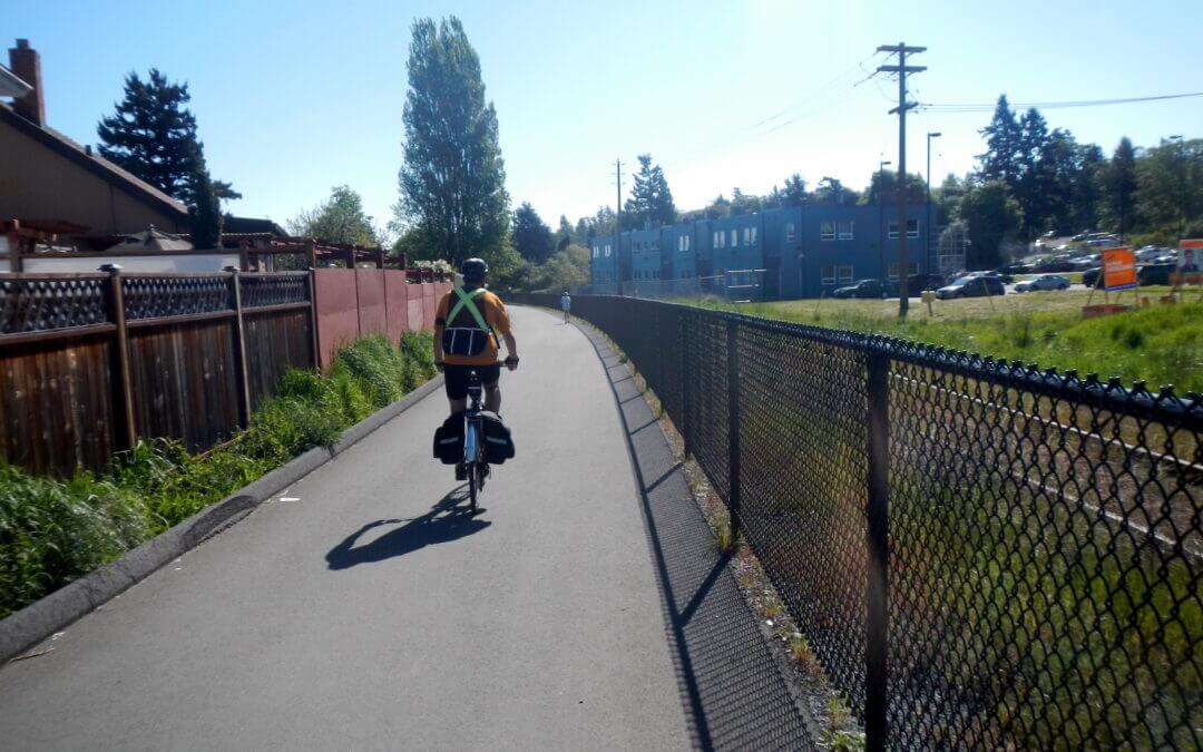
It takes place in Saperton, Coquitlam, Surrey, Delta, Queensborough, and New Westminster on both sides of the Fraser River. The main greenways are: United Boulevard approach to the Port Mann Bridge, Serpentine Headwaters Park, Tynehead Regional Park, Green Timbers, Surrey Greenway, Surrey Lake Park, Bear Creek, New Westminster Quay, Brunette-Fraser Regional Park and several other small parks. It offers a diversion of 16 km off the well known Surrey Green Timbers greenway trail in an attempt to connect less seen parks via urban streets.
This destination loop will provide for quite a variety of optional sub-loops. The main loop has for its spine the Galloping Goose Trail, the E&N Rail Trail, and the Lochside Trail allowing for a variety of destinations in the Saanich Peninsula, Esquimalt and Victoria that include walking loops of as little as 2.5 km to cycle loops that exceed 100 km. As well as that there is an added option of including the Victoria Seaside Touring Loop all of which creates a destination that could involve several days of cycling.
This Loop features Burrard Inlet between the Lions Gate Bridge and the Second Narrows Iron Workers Memorial Bridge along with False Creek, and Coal Harbour. The main highlights are Lonsdale Quay, the Spirit Trail in North Vancouver, Stanley Park, English Bay, Sunset Beach, Vanier Park, Granville Island, Olympic Village, New Brighton Park, Lynn Creek with its parks, and North Vancouver waterfront. It also takes in two thriving Squamish Nation communities, the Mission and Capilano Communities. It offers several shorter loops by using the SeaBus. Major and highly featured side loops are Stanley Park and False Creek.
This loop intersects with the Vancouver North Burnaby Loop and the North Shore Loop. Furthermore, it offers an easy connection to the Seymour-Lynn Valley loop all of which allows for a number of other excursions.
This loop offers both cycle and walking options. It features the North Shore Spirit Trail, the Green Necklace Greenway, a number of City Parks, the Capilano Regional Park, and shoreline trails along Burrard Inlet and creeks, in particular, Lynn Creek, Mosquito Creek, Mackay Creek, and the Capilano River. It is in the Squamish Nation Territory, the trail connecting the Mission and Capilano Reserves
Note that the orange track is the complete cycle route described here.

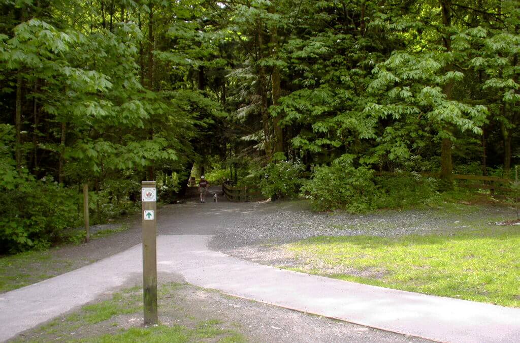
This 16.2 km loop can be cycled or walked, taking in the well maintained and paved Rotary Trail, then following enjoyable dirt trails in the local Community Forest. In the Community Forest the Juniper Lane and Isadore Connector trails are used. Just over half of this loop route is already designated as part of the Trans Canada Trail.
- Walking time roughly 4 hours. Also suitable for jogging but be mindful at street crossings.
- Cycling time roughly 1 hour.
- Horses are not permitted on the paved Rotary Way but are welcome in the Community Forest.
- No stairs or accessibility issues, though some sections have rough surfaces.
- Rollerblading and skateboarding are not recommended.
Take note: At the northernmost point of the route, where the Isadore Rail Trail and the Community Forest intersect, the route is quite steep (average 10% grade), heading uphill (east) into the Community Forest. Therefore, cyclists travelling in a clockwise fashion on the loop may have to push their bikes for up to 1 km. We highly recommend using this route in a counter-clockwise direction.. unless you’re craving a good hill climb!

Recent Comments