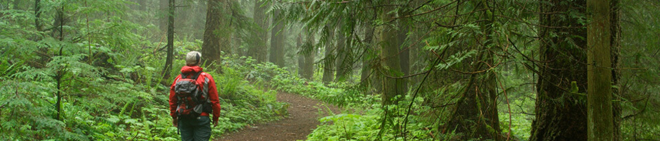
This loop outing leads one to explore how the Township of Langley has made an effort to create greenways to complement neighbourhoods. These urban greenways make for a very pleasant outing. You will note that there has been an evolution in the quality of the pathways in the greenways from the older neighbourhoods on the north side of the Highway to the new ones.on the south side.
Walnut Grove on the Northside of the Highway is largely in the upper Yorkston Creek watershed which drains into the Fraser River. Willoughby is on the southside of the Highway on the edge of the Latimer Creek watershed draining westward into the Serpentine River heading for the Salish Sea.
This quite challenging loop includes the Brentwood-Mill Bay Crossing, the Kinsol Trestle and the full length of Shawnigan Lake for about a 86 km not counting the 5.5 km Brentwood Crossing (total 92 km). What a great loop this is for hardy cross-country cyclists; especially the new trail between Langford and the east end of the rail trail along Shawnigan Lake being by far the toughest section.
The regional districts have done a super job creating new trail sections to a high standard. It is the number and length of the steep grades that make it challenging. The hope is that when the new surface hardens and all the surfacing is completed that the hardship will be reduced somewhat. Two of us did this on lightly loaded hybrid bikes and I lost track of how many times I got off my bike – my partner did quite a bit better than I did.
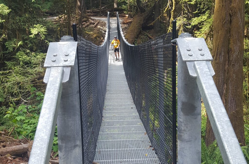
There is great bridging on this trail including a 132 foot suspension bridge – width 3’9” with 6’ high fencing giving the appearance of a very narrow feature bridge. The new Sooke Hills Wilderness Park Trail runs for 13 km from Humpback Reservoir to the CVRD Boundary on trail and service roads in the CRD Watershed climbing 350 metres between the low point at Waugh Creek and the high point on Goldstream Heights. It is another 4.6 km between here and the Galloping Goose Trail. The Cowichan Valley new Trail 8.8 km section is a heavily undulated well built trail as it reaches the rail trail above Shawnigan Lake. The total length of the new trail from the Galloping Goose to the rail trail above Shawnigan Lake is 26.5 km.

This section of the Trans Canada Trail takes in the main features of Vancouver Centre and normally takes about 2.5 hours to do cycling (5-6 hrs for walkers). If you do it as a loop back to Coal Harbour via North False Creek and Hornby Bikeway add 5k or via Gastown add 2k.

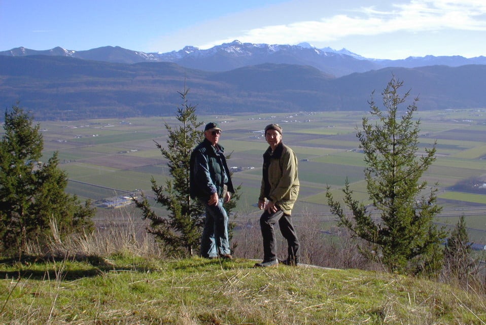
What a great way to experience much of the Whistler Area. The section over Green Lake is quite challenging but rewarding. The cycling route closer in to the villages is well known and an absolute joy. Overall it takes in the chain of 5 lakes that make up the Whistler area – Alpha Lake, Nita Lake, Alice Lake, Lost Lake and Green Lake. Alta Lake and lakes north of it drains northward while Nita Lake and lakes south of it drains to the south. It will take up to hours to complete the whole route with visiting and lunch stops. Some may choose to just do the easier loop within the village as well as other loops as can be seen on the map. It is best done in a clockwise direction.
Water flows – how the water out of Whistler reaches the Pacific Ocean
Alta Lake – Alta River- Green Lake – Green River – Lillooet River-Lillooet Lake- Harrison Lake-Harrison River- Fraser River
Nita Lake – Alpha Lake – Milar Creek – Cheakamus – Squamish River – Howe Sound
This fun loop can be split in two. It takes in McDonald Park on the Sumas River, the Barrowtown Pump Station, the Vedder River, Sumas Prairie, and the Great Heron Nature Reserve as well as the south side of the Vedder past Yarrow. It is quite an easy cycle because much of it is on dikes. Allow up to 4 hours.
Do take this great description of the former Sumas Lake in the Sumas Prairie

Recent Comments