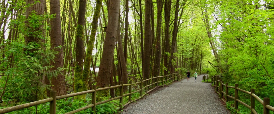
As well as the Trans Canada Trail, this Loop combines a portion of the City of North Vancouver Green Necklace Trail and Spirit Trail with their greenways and parks. A stretch of the Green Necklace along Keith Road connects the historically significant Victoria Park with Queen Mary Elementary and its community gardens. The Grand Boulevard affords views towards the City of Vancouver. From here in a clockwise direction one enters the forested sections of the route. Allow 3 to 4 hours. Add 2.5 kms for a total of 15.5k when adding the optional routing. Best done clockwise starting at Brigman Park.
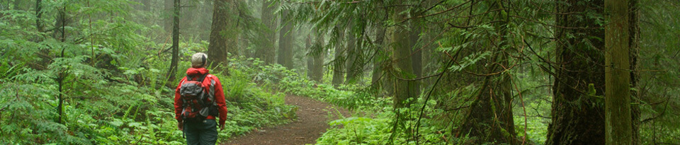
Travelers having to wait overnight for a ferry might want to check out Newcastle Island Marine Provincial Park This 336 hectares reserve located right in Nanaimo Harbor is accessible by a 10 min ferry ride leaving from Maffeo-Sutton Park, just north of downtown Nanaimo (south of the ferry terminal), and offers fine camping and facilities. Its trails offers a time away from urban life and offers great seashore experiences.
Quote from BC Parks: For an experience rich in history, culture and entertainment, do what people have been doing since the 1930s—hop a boat to Newcastle Island Marine Provincial Park, one of the most intriguing parks in BC. Bring your own boat or take the passenger ferry from Nanaimo—a 10-minute ride that deposits passengers on Newcastle Island, located just a few hundred metres offshore from Vancouver Island. From a distance you’ll see an island shoreline dominated by steep sandstone cliffs and ledges, interspersed with sunny beaches – a marked contrast to the interior of the island, which is studded with mature Douglas fir, Garry oak, arbutus and Big Leaf maple trees.
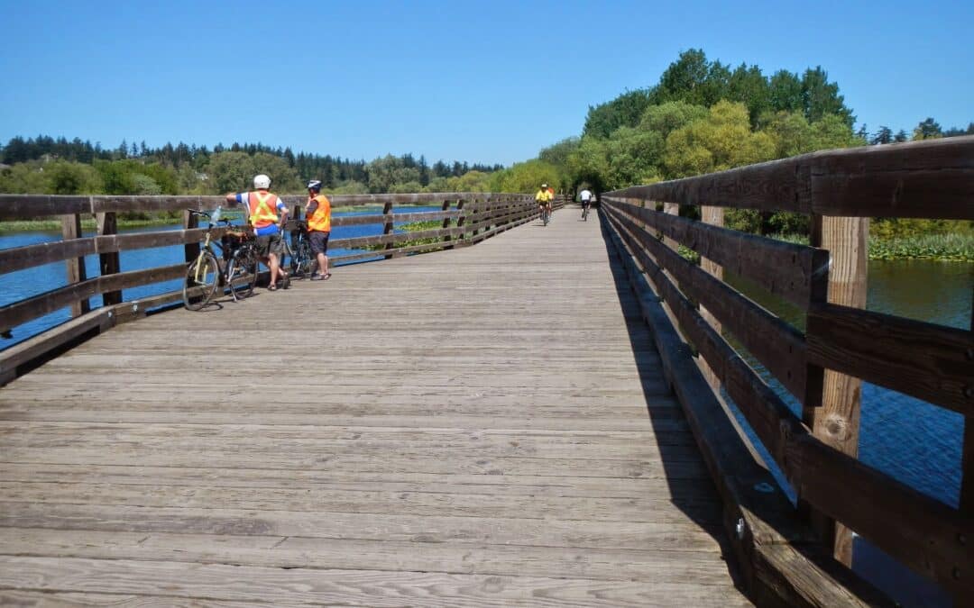
This superb urban trail loop takes advantage of a variety of greenways, city parks, and ecological settings. A good place to start is in the parking lot at Swan Lake. The highlights are Swan Lake, the Blenkinsop Bridge on the Lochside Trail, and the Centennial Trail. It connects with the Trans Canada Trail and takes in its alternative, the Lochside Trail. It is equally interesting going clockwise of counter-clockwise. Allow 5 to 6 hours. If you choose to cycle it, you will be asked to walk your bike where bicycles are not allowed to be ridden (allow 2.5 hrs).
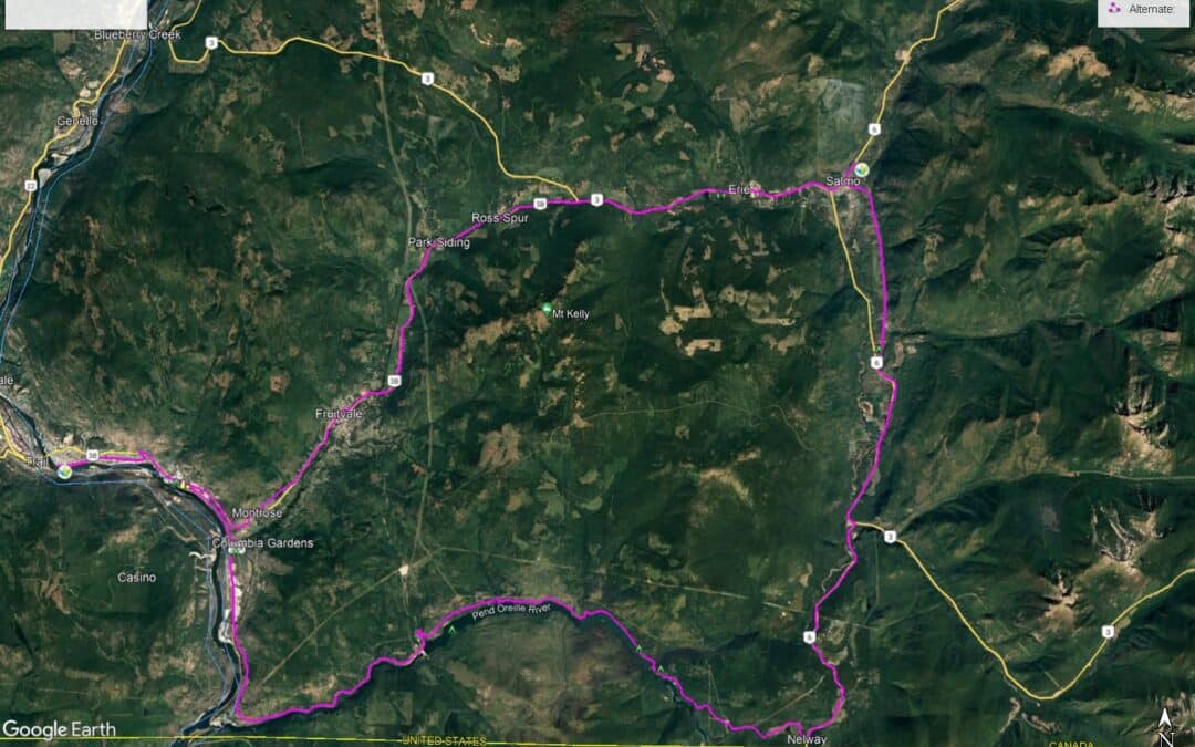
The route between Trail and Salmo is not part of the Trans Canada Trail. However, for those travelling from Castlegar south to Trail, the two routes described here will allow one to connect to the southern terminus of the Salmo Great Northern Railway for a pleasant ride north to Nelson. This can be a suitable route for bicyclists who have chosen not to take the “main route” of the Trans Canada Trail from Castlegar directly to Nelson via the Skattebo Reach and Ward’s Ferry Trail, both of which are unsuitable (and not permitted) for cyclists at this time.
Our two favoured alternate routes connecting Trail and Salmo are either A) Following Highway 3B through the Beaver Valley via Montrose and Fruitvale, or B) taking a journey further south to the Pend Oreille River, then returning north again from Nelway to Salmo on Highway 6. Much of this route is on unpaved roadways.
For those travelling to Salmo via the Beaver Valley, the route leaving Trail on Highway 3B begins with a long climb up the mountainside to Montrose and Fruitvale – however, it is the only substantial hill on the route. The rest of the highway to Salmo is otherwise fairly flat and simple to follow.
The Pend Oreille is a quieter and longer route. It can be quite hot and dusty at times, but it surely a more memorable adventure.


Recent Comments