
The PoCo Climb is meant to go up a significant stair climb in the Citadel Heights area and is designed to be a 6.4 km loop.
Green POCO Climb Loop 6.42 km
Red Extensions or alternates
Eastern Coquitlam River Loop additions
Yellow 4.4 km
Red – PoCo Trail alternate 1.5 km
Red – Sheep Paddock Trail 1.6 km
Blue Colony Farm 4.4 km
The main trail loop is just over 10 kms but could end up being a good 12 kms when taking in all its features. It is an additional km one-way to or from the Sperling Skytrain using a sensational bridge over Winston Ave, a rail track, and Still Creek while being part of the Central Valley Greenway.
The park can be accessed by Skytrain from 3 stations. The recommended one is at the Sperling/Burnaby Lake Station which is the shortest access and stays on greenways.
The main features involve wetlands around a fairly shallow Lake which ensures its lake formation because of the Cariboo Dam at the east end. It is fed by Still Creek from the west and drains out in Brunette Creek at the east end which, in turn, outflows into the Fraser River.
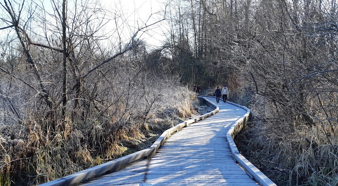
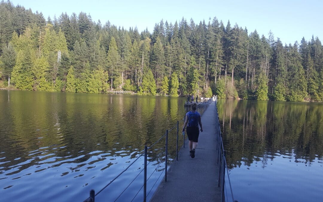
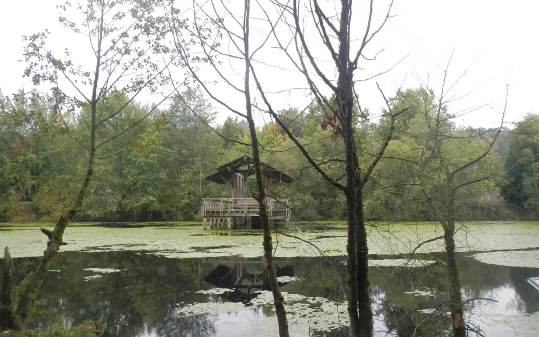
It is a first-class walking trail with a number of boardwalks, bridges and ways to view the lake. On a clear day, it affords views of the North Shore Mountains, as well as, Eagle Mt. and the Golden Ears Mountain to the east. It features a viewing platform and the prominent Piper spit into the Lake. The Spruce and Conifer trails are worthwhile detours. Do take in the interpretive signage along the way. On occasion, there are km indicators along the10 kms starting at the east end of the lake going clockwise from the south shore where there is also a parking lot with toilet facilities. The main parking lots are at the east and west end of the lake. At the east end, there is an equestrian center with trails, while on the west end are the playing fields. There is another access point, with parking, halfway along the north side of the lake. Unfortunately, you will become very conscious of the freeway traffic noise on the south side of the Lake which is less noticeable when the leaves are back in the spring and summer months.
For the main ground cover vegetation look for cattail grass, salmonberry, blackberry, ferns and mosses.
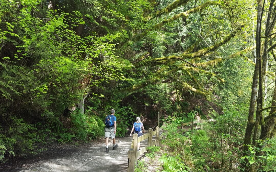
There are prominent groves of large cedar trees. Other trees frequently encountered are hemlock, Sitka spruce, alder, and large cottonwoods.
Ducks and geese are the prominent birds of interest. Near the south side of the Cariboo Dam, turtles can be seen sunning themselves on a floating log.
This is yet another one of our great regional parks that must be experienced.
These are optional Loops taking in Buntzen Lake to Sasamat Lake. The options allows for longer or shorter hikes. All of it are mainly single track trails with the trail above Buntzen Lake known as the Diez Vistas Trail as the most challenging.
Its full name is: UBC Malcom Knapp Reasearch Forest. A Description of each of the loops are to come. For more information:
Map from UBC Research Forest Site
Vancouver Trails Site
Wikipedia

Recent Comments