
Midway to Grand Forks
Alert: people will not be able to travel on the Trans Canada Trail between Louise Street and the north crossing of Highway 3 where the “tunnel of flags” is.
They have the detour on the highway 3 but we recommend they take the back streets and then go on the highway for a short segment north of Gowrie.
Also note that the closure of the Rathmullen Section on the way to Grand Forks. The trail will be closed in September to November 5th/24. Notice of the trail closure will be posted at all access points between Greenwood and Grand Forks. Trail users must pay attention to posted signage and use extreme caution. The project entails the removal and repurposing of the overlying fill at the crossing, trail realignment and installation of a 1500mm x 33m culvert. The project is expected to start the week of September 16th and run through to Friday November 8th.
The Columbia & Western Railway from Midway to Grand Forks begins as a pleasant stretch of trail with at first sandy surface conditions. With the motorized use this route is getting rougher, but it’s worth the ride to not be on the busy highway. At Boundary Falls it levels out to Greenwood and be sure to take a moment to check out the town of Greenwood when passing through. Large bell-shaped coal slag heaps (called “Hell’s Bells” by the locals) are one of many attractions. Also, a stroll down Greenwood’s main drag is a trip back in time!
The Tunnel of Flags is located north of Greenwood at the highway crossing. Watch for traffic at this, as well as the other highway crossing just west of Eholt. It’s a gentle uphill to Eholt, through pastureland and a great birding area. Please stay on the trail and close gates! Though little to nothing remains of Eholt Station, it once rested at the summit of the pass – and northernmost point between Greenwood and Grand Forks. Eholt became the CPR’s divisional point and ore hauling headquarters. Due south and higher still was the growing city of Phoenix with its rich copper and gold mines; a branch line with spurs was built to carry Phoenix ores to local smelters. Eholt yards included a roundhouse, and powerful Shay locomotives which made daily trips to Phoenix. By 1920, an amazing 15 million tons of ores had been shipped, but the mines soon closed, and Eholt like Phoenix was abandoned.
Further east from Eholt, the north-facing forested area between to Granby tunnel can be a dark and perhaps gloomy place, but after turning south and passing through the tunnel, views of the Granby river valley below will lift your spirits! An emergency shelter is located immediately south of the tunnel with bunks and tables, however there is no water source until you reach Fisherman Creek several kms to the east.
The Columbia & Western runs downhill from the flanks of Thimble Mountain at the Granby Tunnel, through the streets of Grand Forks.

A kayaking route connecting Vancouver Island to the mainland has been designated as Trans Canada Trail – running between Victoria and Horseshoe Bay for over 250 km.
Much of the journey is for intermediate to advanced kayakers, and the long passages in open sea between Lantzville and Thormanby Island should only be attempted by advanced kayakers in the early hours of the day before the afternoon winds pick up.
The exact “starting point” in Victoria could be debated; we have marked the starting point at Clover Point, which is the Trans Canada Trail’s Pacific Trailhead, and also makes an ideal launch point due to ramps being located on both east and west sides of the Point. Starting at Clover Point also means avoiding the heavy marine traffic of Victoria’s Inner Harbour. Starting at Clover Point is an easy place to unload boats and gear, and overnight parking can be found on nearby residential streets (but not at Clover Point itself).
On the other hand, for those that wish to begin the journey from Victoria’s Inner Harbour, the logistics of doing so can be a challenge. Finding an unloading and launching spot is next to impossible, and there is no free overnight parking in the downtown core. For those insisting on starting their trip downtown, be sure to download and study the Port of Victoria Traffic Scheme attached at the bottom of this page under “Directions”; this will help you prevent straying into the path of ferries, cruise ships and float planes (yes, they do land in the harbour and can quite literally appear out of nowhere). Harbour Patrol is eager to swoop in and give a stern warning to scofflaws who ignore the rules of the road.
A possible itinerary for the entire journey from Victoria to Horseshoe Bay is listed below. We’ve attempted to keep daily paddling distances averaging about 25 km or less – although some are nearer 30 km. Of course, many paddlers may only do smaller sections of this route as the entire distance could take up to 10 days or more. A big note of caution: No official campsite with water access exists in the Sechelt area, so for paddlers planning on travelling the whole distance, this is something to think about. See our “About the Gaps” section below.
If you only have 5 days or so, consider paddling from Victoria to Nanaimo via the Gulf Islands – it’s a distance of about 120 km, averaging about 24 km per day, and avoids the long open water crossings that one would experience crossing the sea between Vancouver Island and the mainland. Or for a 4-5 day adventure, consider Victoria to the remote waters of Cabbage Island, then return from Saturna Island via BC Ferries – a voyage of 3 ferry trips!
- Day 1: Clover Point to Darcy Island (25 km)
- Day 2: Darcy to Rum to Portland (23 km) or Ruckle (+4 km)
- Alternative: Darcy to Sidney to Portland (24 km) – a bit more sheltered on windier days.
- Alternate Spur: Darcy to South Pender, Saturna and Cabbage Island (+2 days, 39 km one-way)
- Day 3: Ruckle to James Bay to Pirates (30 km)
- Alternate: Portland to James Bay to Montague Harbour (22 km), camp, then Montague to Chivers (15 km)
- Day 4: Pirates to Decanso (17 km)
- Alternative: Pirates to Nanaimo, finish journey here (26 km, total distance 108 km)
- Day 5: Decanso to South Ballenas (30 km)
- Day 6: South Ballenas to Home Bay (20 km)
- Day 7: Home Bay to Buccaneer Bay (17 km)
- Day 8: Buccaneer Bay to Sechelt (24.5 km – Warning! No campsite developed!)
- Day 9: Sechelt to Plumper Cove (21.5 km)
- Day 10: Plumper Cove to Horseshoe Bay via North Bowen (20 km)
Total distance from Victoria to Horseshoe Bay: 233 km (or more)
Our mapping lists the many legs of the journey with recommended campsites at each end. Quite a few more campsites exist in the area. We have spaced possible rest stops about 5-8 km apart on the map, marked with stars.
Anyone planning on travelling along the eastern coast of Vancouver Island should educate themselves on currents and tides; strong currents, eddies and rips can be encountered in the Salish Sea, but are particularly noticeable around the Gulf Islands.
This section of trail offers a pleasant route between the City of Vancouver and the US Border at Blaine, Washington via the Central Valley Greenway and the BC Parkway/7-11 Trail.

This section of trail offers an alternate between the City of Vancouver and the ferry terminal in Tsawwassen – effectively the most scenic and most enjoyable way to travel between Victoria and Vancouver, when combined with the Lochside Trail once on Vancouver Island. Along the way it features among several parks Trout Lake, Burnaby Central Park, Metrotown and the Queensborough and Alex Fraser Bridges.
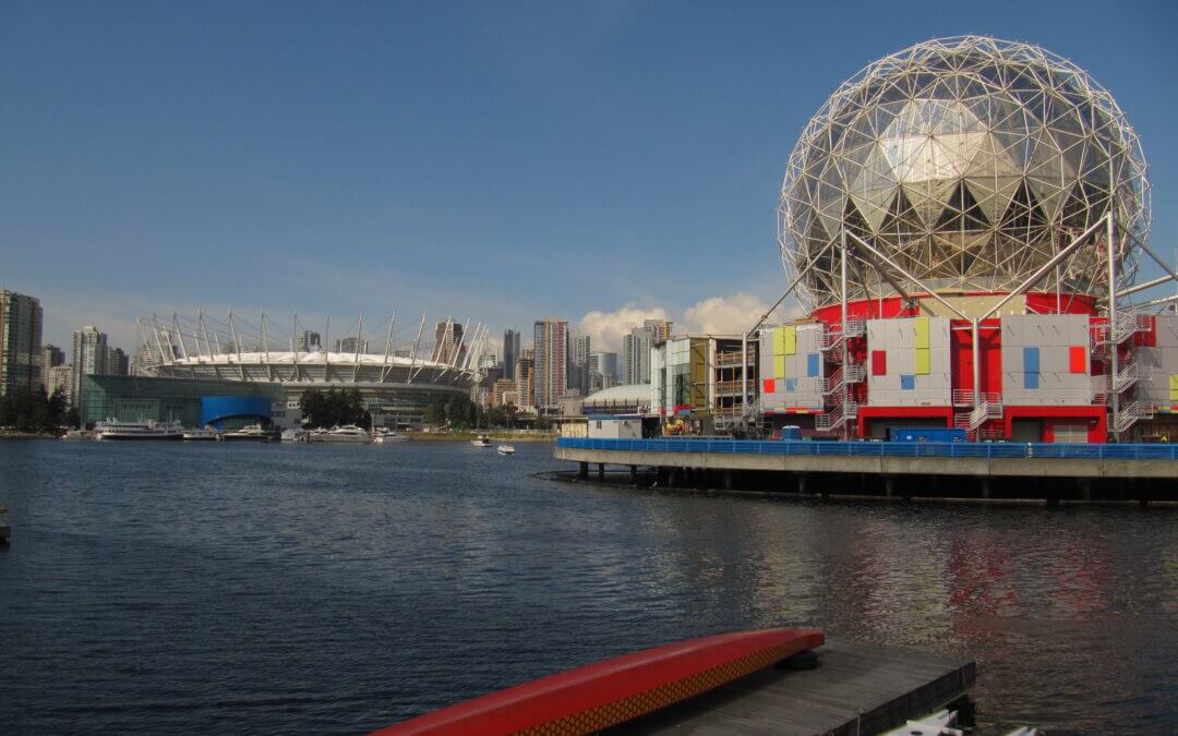
Science World to Richmond on the south side of the Alex Fraser Bridge is 14.3 km. It is another 35 km to the Tsawwassen Ferry Terminal from Science World for a total of 50 km.

While not an official Trans Canada Trail alternate route at this time, this route is meant to connect the TCT in Langley with the Lochside Trail to Victoria. It offers a shorter route on the TCT in and out of Victoria to the Lower Mainland and vice versa.
The 61-km Alternate Route described here connects back to the main route of the Trans Canada Trail at the Golden Ears Bridge in Langley via Delta and Surrey. Mainly off-road routes are also possible to connect back to the City of Vancouver to rejoin the main route of the TCT.
This corridor connects regional greenways, municipal and regional parks, and forests taking advantage of dikes and utility rights of ways.
From the Tsawwassen Ferry terminal one is pleasantly greeted by a causeway with the Salish Sea washing up on both sides. Next is the Tsawwassen FN with its breakwater, half km boardwalk over marshland, the reserve itself, and finally the huge Tsawwassen Mills commercial centre. East of downtown Tsawwassen, the 16-km dike Boundary Bay Greenway overlooks a large bay all the way to White Rock and Bellingham in the United States. Bird watchers abound on these dikes. The dikes run into Mud Bay Regional Park, again a great bird watching area with wetlands. From there heading north the route takes in the Delta-South Surrey Greenway with its Watershed Park and the edge of the famous Burns Bog.
Through Surrey the trail mainly follows a hydro right-of-way and passes through Green Timbers Urban Forest to later experience Tynehead Regional Park.

Recent Comments