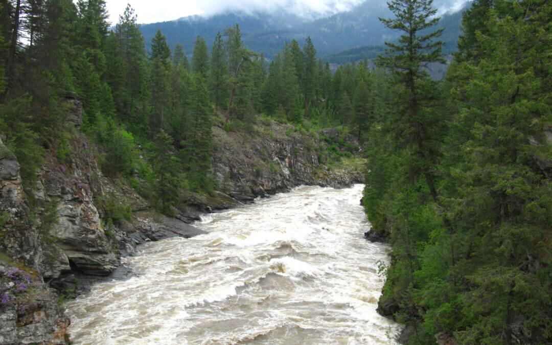
This 12.3 loop is one of the few “100% Trans Canada Trail” routes in existence! The loop takes in shaded forest trails along Mark Creek, and returns to downtown Kimberley on the Northstar Rail Trail. Suitable for hiking and cycling.
The Lions Way trail, which follows Mark Creek, runs downhill from north to south; travelling south is much easier. The Northstar, being a rail trail, is quite flat and easy to ride in either direction. Therefore, we suggest using this route in a counter-clockwise fashion. Cyclists should be aware of some blind corners and keep speed reasonable along Lions Way as this is a popular dog-walking route.
- Walking time roughly 2.5 – 3 hours. Dog-friendly.
- Jogging (~1 hour) is highly recommended as there are few street crossings. Some tripping hazards possible along the wooded segment.
- Cycling time roughly 45 minutes.
- Horses are not permitted.
- Skateboarding and rollerblading are not recommended on the Lions Way portion.
- No staircases or accessibility issues, though the trail surface may be challenging for wheelchairs. There are some steep declines along Mark Creek to consider.

The Arrow Lakes are divided into Upper Arrow Lake and Lower Arrow Lake, are widenings of the Columbia River. The lakes are situated between the Selkirk Mountains to the east and the Monashee Mountains to the west. Beachland is fairly rare, and is interspersed with rocky headlands and steep cliffs. Mountain sides are heavily forested, and rise sharply to elevations around 2,600 metres.
The original routing and descriptions were produced by Kelly Kusch for the Nakusp Paddling Club Society. Trails BC has been given permission to post this route, but users should review the original guide, available on the Paddling Club’s website
Note: This is merely a guide for information purposes. The Nakusp Paddling Club Society is not responsible for the safety or activity of lake users, and does not warrant the complete accuracy of this document.
If you would like to help us improve our mapping and populate this page with more information about paddling in this area, please contact Trails BC.
Okanagan Lake is a fantastic place to paddle, with calm, warm waters and view of desert-like valleys and pine-covered mountaintops. The lake can be paddled virtually its whole length, with many campsites and launches in the southern portion between Penticton and Kelowna.
This route is a concept and the information provided has not been provided by a local paddler. We welcome and appreciate any advice or verification you can provide – please help us improve and enhance this trail information!
We have developed a concept map displaying possible campsites, launch sites and rest stops.
The North Coast Trail is a 43.1 km extension to the original Cape Scott trail. Yet, when combined with a round trip to/from the Cape Scott Lighthouse, and the trip south to the San Josef staging area, the trip totals nearly 80 km. The minimum recommended one way hiking time is 5 days; although, it is more commonly completed in 6 to 8 days. Hiking times are estimated for the average hiker in good physical condition in optimal weather conditions. The trail became operational in 2008.
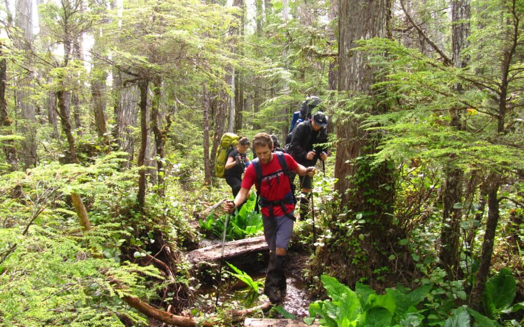
This is a very challenging route and is not recommended for inexperienced hikers. Many sections require hikers to climb over or along fallen trees, to cross through deep mud, and to use fixed ropes to climb up and over steep sections. It is not recommended for those with a fear of heights. Consider hiking sections of the Juan de Fuca Marine Trail or the Cape Scott Trail to Nels Bight prior to attempting a trip to the North Coast Trail.
The North Coast Trail is not recommended for dogs. There are many steep headland sections on the trail with extensive rope work. These sections are not suitable for domestic animals.
The trail is located in a wilderness area with minimal supplies or equipment of any kind. It is not regularly patrolled, so hikers should be completely self sufficient. It is strongly recommended that ALL hikers carry a satellite phone or VHF radio in case of emergency. Cell phones do not work in the park, and assistance may be days away in case of an accident.
The trail runs along the northern end of Vancouver Island spanning Cape Scott Provincial Park. It can be traversed east to west from Shushartie Bay to the eastern end of Nissen Bight or in reverse from west to east. The trail becomes progressively easier in the east to west direction. Access to the Shushartie Bay trailhead is by boat or floatplane only. There are currently no docking facilities. One water taxi service runs from Port Hardy during the summer season. Access to the western portion of the trail is from the San Josef parking lot at the Cape Scott trailhead. Shuttle service to the parking lot can also be arranged in Port Hardy.
There is a fee for backcountry camping along the trail. Review the fees and make a reservation using BC Parks’ web site. See the link below.
Here’s a video from Karysa and Jackie from their journey along the trail in 2017:
North Coast Trail & Cape Scott Provincial Park (Karysa and Jackie – Our Loveland) from Karysa Brossoit on Vimeo.

Juan de Fuca Provincial Park on the west coast of southern Vancouver Island offers scenic beauty, spectacular hiking, marine and wildlife viewing and roaring surf in its course along the Pacific coastline of the Strait of Juan de Fuca. A major feature of this park, the Juan de Fuca Marine Trail, is approximately 42 kilometres of wilderness trekking along the rugged shoreline. Although most of the Juan de Fuca Marine Trail is designed for strenuous day or multi-day hiking/camping in this rugged and isolated area, some easy to moderate day hiking opportunities to the beach or along the trail are available starting from the trailheads.
The hike normally takes 3-4 days. There are no services along the route – travellers should come prepared for the remote experience. Backcountry passes for camping must be purchased from BC Parks. A shuttle service to/from Port Renfrew and China Beach (as well as Victoria) is available during the summer months (see “Transportation” below).
A common question hikers ponder is, “Which direction should I do the hike?”
There isn’t a simple answer – since the trail starts and ends at the same elevation, either direction could be considered equally challenging. Hikers may decide based on the following (in order of priority):
- Transportation logistics (how are you getting to the trailhead? Will you be leaving a car, or relying on meeting a bus at the other end?)
- Tidal cut offs and beach walking (it is essential to plan ahead for some of the high-tide beach cutoffs – will you direction of travel mean that you will encounter the cut-offs at high tide or low tide? Generally, in the summer months, lowest tides are in the morning and come up through the day)
- Seeing Botanical beach at low tide is nice (will you encounter it at the start – or later in the day if you are finishing there?)
- The dreaded “Bear Beach – Chin Beach” section. It really shouldn’t play as large a role as many people give it, but it’s indeed the most challenging section – do you prefer to get it over with earlier? Or wait until your pack is lighter? A tip would be to do it at the beginning of the day, rather the end. But the items above should probably play a larger role in your decision)
Breakdown of the hike, including approximate times (from west to east):
The following times are based on a moderately quick pace with minimal breaks. You know your pace – add on time if needed!
- Botanical beach to Payzant: 2.5 hrs, 7 km. Moderate difficulty but trail condition is generally well worn and easy to follow. Take some extra time to explore; there are lots of shoreline options, but you might reach an impassible surge channel and be forced to bushwack to regain the official trail. Aim for doing this section at low tide – and it is best to not do this alone!
- Payzant Campground: In forest, but good tent sites, pretty river and waterfall, not much of a view but nice afternoon light.
- Payzant to Parkinson trailhead: 1 hr, 3 km. Conditions are moderately difficult.
- Parkinson to Little Kuitshie: 1 hr, 4 km. Very muddy!
- Little Kuitshie Campground: Unimpressive; probably the least charming of all campsites along the trail. Dark, dank forest. Possible hikes towards shoreline access.
- Little Kuitshie to Sombrio (West): 1.5 hrs, 4 km. Moderate difficulty – a little up and down but good conditions. Note high tide beach cut offs!
- Sombrio Breach Campground: There are 3 areas..
- Sombrio Campsite (“West” – west bank of river): Wooden platforms (could be considered good or bad!), lots of day users.
- Sombrio Campsite (“Centre” – just east of river): Can be a busy place with day users but great sites, possibility of grass set up.
- Sombrio Campsite (“East” – around the corner in the next bay): Quiet, sand sites. Recommended. Hidden waterfall (halfway between the bear cache/outhouse and about 20 metres west from where the trail leaves the beach to climb uphill, there is a little unassuming creek that flows onto the beach and dissolves into the sand (48.4935° -124.2947°) – follow the path up the river!). Also, interesting rock formations/collapsed seacave at eastern end of beach (48.4921° -124.2935°).
- Sombrio West to Sombrio East: 0.5 hr, 2 km. Beach walking
- Sombrio East to Sombrio Point: 0.5 hr, 1 km. Quite difficult! Travellers heading west might feel discouraged as they can see Sombrio but face tricky terrain and mud! Hang in there!
- Sombrio Point to Loss Creek Bridge: 1 hr, 2 km. Big elevation gain to an old logging road (nice and flat!), then drop. But the ascent/descent is not too steep. Take your time and enjoy some large trees.
- Loss Creek Bridge to Chin Beach: 1 hr, 3 km. Moderate difficulty overall and enjoyable. The last bit of trail into Chin cannot be hiked at high tide – there is no alternate!
- Chin Beach Campground: Very nice campsite, not too many sites, but outlook and beach is nice and sites are tucked in trees. Possible hike to see large trees – uphill of campsite and shelter, possible loop. Do note beach cut offs at high tide!
- Chin to Bear: 3.5 hrs, 12 km. This section is the most difficult with lots of elevation change – but all elevation changes are 70 metres or less, except for Hoard Creek which is 100 m.
- Bear Beach campground: Westernmost campsite is lousy (best for overflow), Centre (Clinch creek) sites are lovely (small ravine, cleared sites, shade). East campsite (at Rosemond Creek, past sand bluff) are nice but gets filled up early. This site is also close to breaking waves sometimes, so could feel a little exposed during storms or high winds. A nice waterfall is located just to the east – but the trail goes past it, so everyone gets to see it eventually.
- Bear Beach to Mystic Beach: 2.5 hrs, 7 km. Plenty of up-and-down, but pleasant forest and well worn trail with not much mud.
- Mystic Beach Campground: Stunning beach and great walks at low tide, but limited sites and feels exposed when surf is up. Only 2 km from trailhead so lots of day users, but quiets down in afternoon.
- Mystic Beach to China Beach: 0.5 hr, 2 km. Very easy and straightforward.
Please do make a note of the 6 locations (shown on our map) of “high tide cut offs”. The BC Parks map also includes information on these cut offs. If you arrive to the cut offs and the tide is above the cut off height, you won’t be able to pass. And it’s even possible that you’ll still need to remove your shoes and socks and wade through the water even if you arrive at a tide below the cut off – there may be waves. See our map for details, or the BC Parks map (link below).

Recent Comments