The Great Divide Trail is under development by utilizing existing trails, forestry roads, and new trails being built by an enthusiastic group of volunteers.
Please note the above map is hosted and updated by the Great Divide Trail Association. Trails BC does not update this map or guarantee its accuracy.
Since we do not host or update this trail map, we do not offer a GPS download for this trail. Please download the latest copy by opening this map in Google Maps and selecting “Download KML” from the menu.
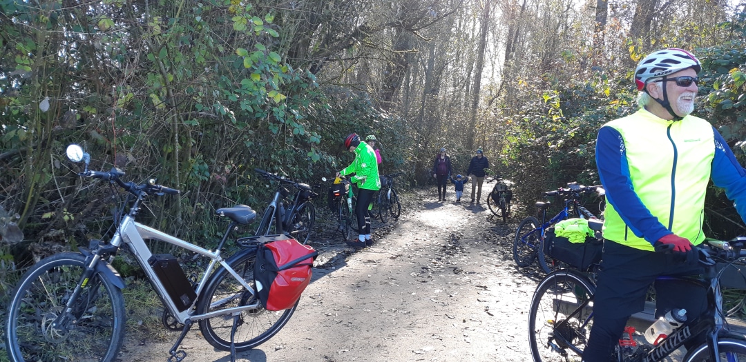
For more detain information go to this link on the Trails BC website. From Kimberley to Cranbrook this is a paved greenway and definitely a great ride. Allow about 2.5 hours. Adding the 10.6k through Kimberley Nature Park is a great ride if you like more of a challenge on a mountain bike adding a good 1.5 hours to the ride.
Link for a more detailed description
Length 43.5 km
- + 3.5 km Ramparts Loop addition
- + 5 km to the TCT Pavilion
- + 10 km forms a Cranbrook Loop (mostly greenway)
- + 28 km into Kimberley
- + 10.5 km Kimberley to Riverside Campground through the Kimberley Nature Reserve
- 90 km of the greenway between Riverside Campground and Wardner.
The magenta loop shown here leading off the TCT in Cranbrook is best done as a 14 km. hike in total but it has recently been made cyclable as well.
This route joins the Isadore Canyon trail to Fort Steele – a journey of 11 km – using tracks, trails and roadways.
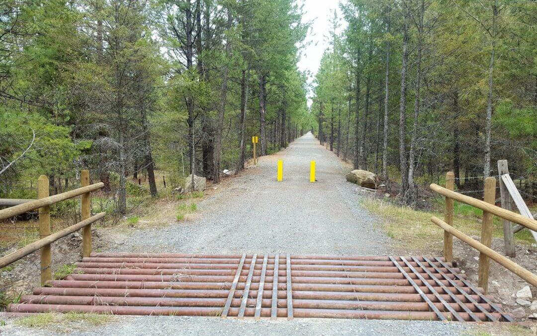
The Chief Isadore Trail from Cranbrook to Wardner has a packed gravel surface, which is half on old Rail Grade and half new trail. A 17-km “Mayook Trail” section is a new trail with enhanced single track, 1.3 metre width, with a sustained 5% grades with some short sections up to a 10% grade.
Do a loop adventure! Rampart Rest Area Loop, 6.5 km: The Rampart Loop is a family cycling or hiking loop. It begins (and ends) at the Rampart Rest Area on Highway #3. On a bike, ride the trail in a clockwise direction starting from the restroom because it is an even climb. After 2.1 km – turn right (west) onto the rail grade trail (this is an intersection with a new road). Hike or bike the rail grade west for 2.7 km. Turn right at a kiosk sign and head back to the rest area by the pond.
Mountain Bikers – try the Mayook Trail! With 17 km of trail, Mountain bikers (intermediate level) will love the fun ride along lower flanks of Mount Baker on a 1.3-metre-wide gravel trail. Elevation gain is 200 metres on well-made switchbacks and gradual grades. Begin from either the Ha-Ha Creek Road or the Pritchard Road Trailheads
Looking for a scenic 21 km loop that includes rural paved roads? Try the Ha-Ha Creek Road Loop Ride, with a stop in Wardner! Start from the trailhead at Ha-Ha Creek Road (the junction between the Mayook Trail and the Wardner Trail sections) and ride the rural paved Ha-Ha Creek Road around to Wardner, then complete the loop by riding back along the old rail grade of the Chief Isadore Trail.
The Chief Isadore Trail is a public recreation trail within active forest, range, and grassland. You may encounter livestock (May to October) and /or wildlife year round. Please do not approach livestock or wildlife. Logging may also take place near the trail. Deer and elk hunting season begins in September and throughout autumn

Recent Comments