
This loop allows for two important experiences: a loop along the North and South Arm of the Alouette River and a second loop that completely takes in the Pitt Polder. It is highly recommended to do both. Some may choose to cycle it in two trips. The loop between the two arms of the Alouette River is quite easy. The Pitt Polder loop is quite a bit harder even if it is also very flat because the dikes tend to be overgrown with grass. However both are very exhilarating and are great destinations. To complete the full loop allow a good 6 hours. It is recommended to do the loop counter-clockwise

This easier mainly flat loop takes in two arms of the Trans Canada Trail allowing the trail to also reach Maple Ridge with a view that the Trans Canada Trail will also have a route on this side of the Fraser River all the way to the Mission Bridge and perhaps the Agassiz Bridge and be part of the Experience of the Fraser Parkway/Canyon to Coast Trail. Apart from the waterways the main interest in this loop are the farmlands, especially the cranberry and blueberry fields. Sighting of heronsm and ospreys is very common along all of this loop. The features are the Pitt River Greenway, Harris Landing, Osprey Village, Katzie Slough, and the South Arm of the Alouetter River. Note the intersections of the Pitt River with the Fraser River, the Alouette River and the Pitt River and the joining of the South and North arms of the Alouette River. Best done counterclockwise and should take about 3 hours.
Options:
- Split the route in half by taking the greenway along Lougheed Hwy. You can choose to do the Alouette River half (21 km plus 11 km if including the Haney Loop) or the Pitt River Greenway half (20 km).
- Add by jutting into Maple Ridge and Haney adding about 1 making it 11 kms taking in a number of small parks and getting more of the Albernatie Greenway. A visit to the Golden Ears Cheese Crafts for a bite to eat is somewhat of a treat.
Here is a Youtube rendering of this loop:

This trail loop route, in the territories of the kʷikʷəƛ̓əm (Kwikwetlem), q̓ic̓əy̓ (Katzie), qʼʷa:n̓ƛʼən̓ (Kwantlen), sc̓əwaθen (Tsawwassen), Sḵwx̱wú7mesh (Squamish) and səlilwətaɬ (Tsleil-Waututh) Nations, takes in 3 major river crossings recently built cable-stayed bridges: The Port Mann Bridge over the stɑl̓əw̓ (Fraser River), the Golden Ears Bridge also over the stɑl̓əw̓ (Fraser River), and the Pitt River Bridge over the sq̓ə́yc̓əyaʔɬ státləw (Pitt River). All offer significant views up and down their respective rivers and up towards the mountains. The Golden Ears Bridge is named after the Golden Ears mountain peaks that appear golden at sunset when snow-covered.
Connecting these bridges are major greenways and three Regional Parks, Tynehead Regional Park, Surrey Bend Regional Park, and the ƛ̓éxətəm (tla-hut-um) (Colony Farm) Regional Park. The greenway in Pitt Meadows on the Pitt River dikes is part of the Regional Park system. To include the Surrey Bend Regional Park, first cycle the perimeter path around Tynehead Regional Park which is the headwaters of the Serpentine River, then head over the Highway pedestrian bridge to the Surrey Bend Regional Park thus omitting a section of pathway beside the Perimeter Golden Ears Highway.
On the west side of the Pitt River, the route includes a portion of the Traboulay-PoCo Trail Greenway that allows viewing where the Pitt River and Fraser meet. Then it is back to ƛ̓éxətəm (Colony Farm) Regional Park leading to the mouth of the Coquitlam River and home of the kʷikʷəƛ̓əmKwikwetlem First Nation. Allow 4.5 hours for the main route with additional time when taking in more of Tynehead and including Surrey Bend. It is best done counterclockwise. It can be as much as 57 km, including the three Regional Parks.
Of note, this routing connects the kʷikʷəƛ̓əm village of slakəyánc Kwekwitlem and the q̓ic̓əy̓ village of q’a’yc’ay (Katzie) First Nations’ settlements.
Port Mann Bridge
Opened on September 18, 2012 as a 10-lane cable-stayed toll bridge spanning the stɑl̓əw̓ (Fraser River) between Coquitlam and Surrey. It is 2 km long and 65 metres wide making it, as of 2015, the 3rd longest such bridge of this width in the world, the 2nd longest in North America, and the 2nd widest in the world. The clearance above high-level water is 42m/138ft. The towers are 163m/535ft in height. There is a two-way cycle/pedestrian shared path on the north side of the bridge.
Golden Ears Bridge
Opened June 16, 2009 as a 6-lane toll bridge (a cross between a cable-stayed and girder bridge) spanning the stɑl̓əw̓ (Fraser River) between Maple Ridge and North Langley replacing the Albion ferry between Fort Langley and Maple Ridge. It is 2.4 km long with pylons 90m/300 ft high and the deck is 40m/130ft above the river. It features two golden metal eagle sculptures at the top of the bridge and is named for its view of Mount Blanshard in Golden Ears Provincial Park. Depending on clear weather, there are also great views of Mount Baker. There is a shared cycle/pedestrian pathway on each side of the bridge. Cyclists take the side of the bridge in the same direction as the vehicle traffic on their right.
Pitt River Bridge
It opened on October 4, 2009, as a 6-lane cable-stayed bridge spanning the Pitt River between Port Coquitlam and Pitt Meadows. It is 600m long with an interchange structure. There is a two-way cycle/pedestrian shared path on the north side of the bridge connecting the Traboulay-PoCo Trail with the Pitt River Greenway.


The PoCo Trail, better known as the PoCo Traboulay Trail, makes for a truly enjoyable easy cycle that follows the Coquitlam River, the Pitt River, and Hyde Creek with a number of dense forest intervals. Taking in the loop to Minnekhada is highly recommended keeping in mind that there are frequent sightings and encounters with bears requiring you to have an awareness of how to deal with bears and you will need to walk your bike on a 1k walking trail in the park. The main loop takes about 2.5 hours and is basically flat.
Features:
Two Regional Parks
- Colony Farm Regional Park
- Minnekada Regional Park
Two Major Rivers joining the Fraser River with their associated greenways
- Coquitlam River
- Pitt River
Many local parks
- Lafarge Lake Town Centre Park
- Gates Park
- Citadel Landing
- Peace Park
- Hyde Creek Park
- Willington Park
- Coquitlam River Park
Here is a video of the ride taken March 21, 2020
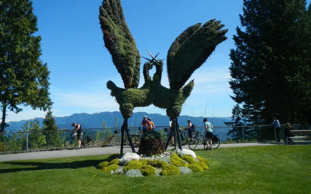
This Loop takes in the Vancouver City core including Coal Harbour, Gastown, English Bay, Yaletown, Chinatown, the Italian Quarter, and New Brighton Park. In Burnaby, it features the Central Valley Greenway, Burnaby Mountain, and Burnaby Heights. It is recommended to do this loop counterclockwise. The Burnaby Mountain trail is excellent for its natural features and views but requires stiff climbing and can be avoided by using the Burnaby Urban Trail. Allow 6 hours for the complete loop when including Burnaby Mountain.

Recent Comments