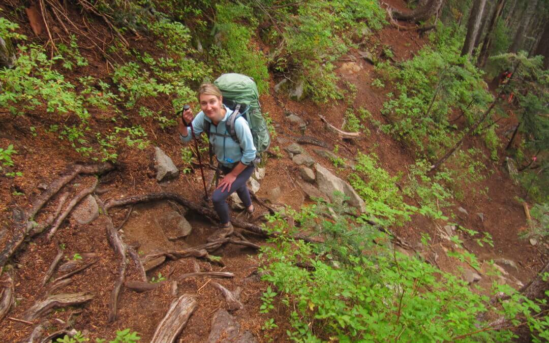
The Howe Sound Crest Trail is a fantastic, but challenging 28 km hiking journey along mountaintops north of Vancouver between Cypress Mountain and Porteau Cove. The hike provides view of Howe Sound from dizzying heights, but the hike itself isn’t exceptionally technical or dangerous – though some parts can be quite intimidating. Normally, this hike is undertaken as an overnight trip by staying at one of the campsites along the way – the Magnesia Meadows campsite being a suitable halfway mark.
The route connects to the Trans Canada Trail in West Vancouver – and many hikers begin the trip at this intersection, located at the parking lot of the Cypress Mountain ski hill. The northern terminus is located at Highway 99 near Porteau Cove. Unfortunately, public transit from this point does not exist so most hikers are reliant on a pick-up.
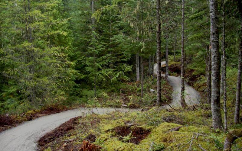
The trail is operational from Squamish to Whistler – and a portion is completed from Whistler Village up to Wedgemont Village north of Green Lake and another portion entering Pemberton between Nairn Falls and One Mile Lake. The trail is in great condition for walking and cycling. As a touring route, it doesn’t get any finer. Wayfinding signage is easy to find – familiarize yourself with the logo and watch for it as you ride!
While, at this time there is road and highway riding for some stretches between Squamish and Brandywine Falls, the features of the trail such as the Cheakamus Canyon, Brandywine Falls, a number of lakes, coastal forest and the shear fun navigating the substantial sections of winding trail makes the whole experience worthwhile.
The trail can be navigated at this time from Wedgemont Village at the north end of Green Lake to the trailhead in Squamish for a distance of 78 km, the most popular section being from Whistler Village to Brandywine Falls for a distance of 22 km one-way. Navigating the trail from Whistler to Squamish entails quite a bit more downhill than going north. The Squamish trailhead is at sea level and the highest point on the trail north of Whistler Village is 730 metres/2400 ft (680 metres/2200 ft at Whistler Village)

Recent Comments