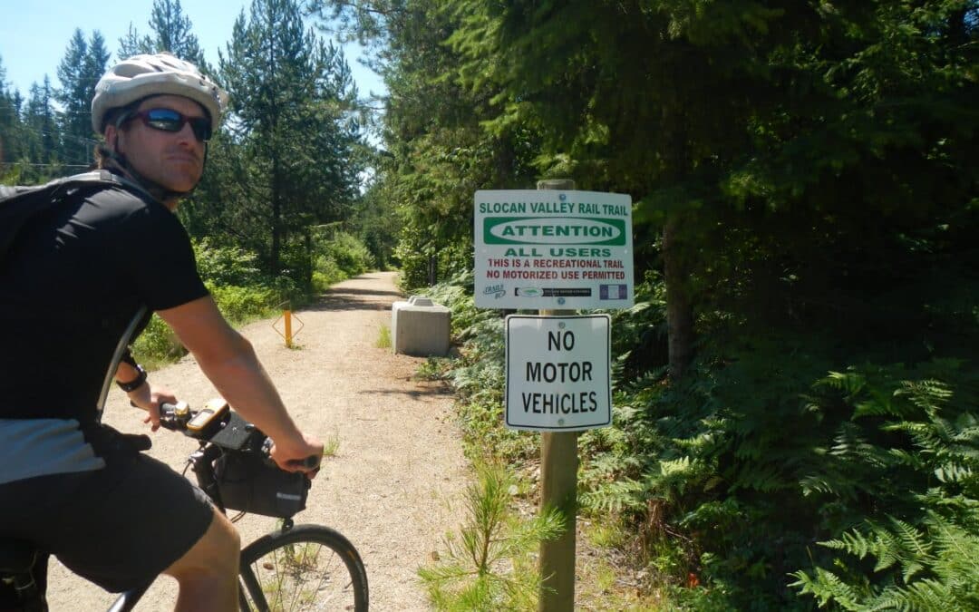
Slocan Valley Rail Trail t80
This great 50 km ride has been added to the Trans Canada Trail system as a spur. Allow about 6 hours for the ride which is an excellent greenway with much heritage interest.

This great 50 km ride has been added to the Trans Canada Trail system as a spur. Allow about 6 hours for the ride which is an excellent greenway with much heritage interest.
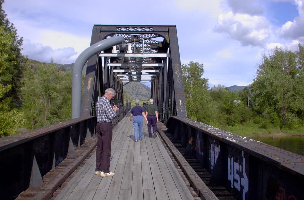
This is a great opportunity to visit Grand Forks and Christina Lake. The trail follows the Kettle River and then rises above Christina Lake for superb views of the Lake. It is well worthwhile to spend time at the park where a former rail bridge spans the gorge.
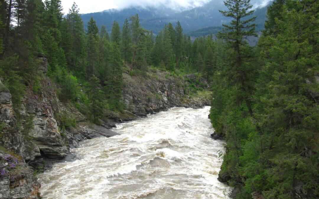
The Columbia & Western trail follows the Kettle River between Grand Forks to Christina Lake before climbing the shoulder of Castle Mountain and taking in the views of Christina Lake at the old railway station of Fife and continuing north uphill to Farron Station, nestled in the Monashee Mountains.
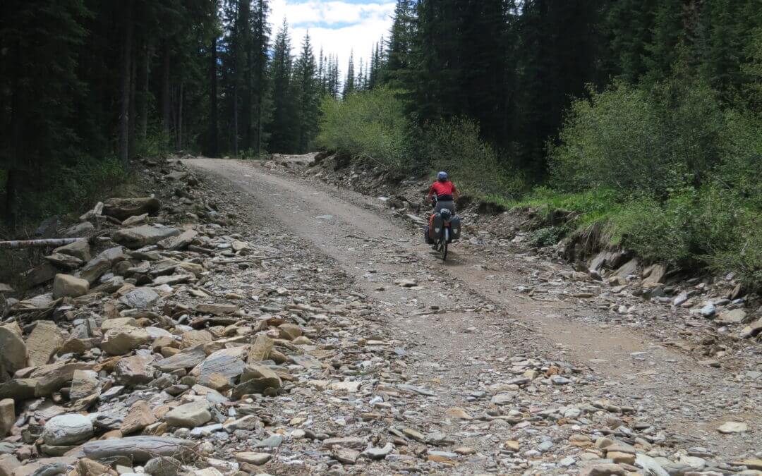
Travelling the Trans Canada Trail from Gray Creek to Kimberley is an extremely arduous journey in the wilderness for 80 km on a forestry road, plus an extra 10 km through Kimberley Nature Park with minimal amenities, no supplies and limited-to-no cell service until approaching Kimberley. Cyclists should carry spare brakes, chain links, tubes, tires and a comprehensive set of bike tools. If you are up to the challenge, you certainly will be glad you tried it!
The route follows active forestry roads and cyclists are asked to USE CAUTION along the way; the road’s poor visibility and heavily laden logging truck traffic can make this route a potentially hazardous journey if users do not remain vigilant and aware of their surroundings. Give all traffic – particularly logging trucks – extra room to pass.
Note: The Gray Creek Pass road is normally closed to vehicles through the winter, opening as late as early-mid July. Late snow and the occasional washout can delay the annual opening. Hikers and cyclists can often pass through these obstacles but do so at their own risk. Visit the Gray Creek Store’s website for the latest road conditions!
Here are some historical dates for the seasonal openings/closings:
| OPENING DATE (approx) | CLOSING DATE (approx) |
| June 13, 2019 | |
| June 25, 2018 | October 12, 2018 (reopened a week later, then closed again Oct 28) |
| June 23, 2017 | October 18, 2017 |
| June 21, 2016 | November 11, 2016 |
| June 10, 2015 | October 31, 2015 |
| June 26, 2014 | October 31, 2014 (3″ snow) |
| July 4, 2013 | October 3, 2013 (6″ snow) |
| 2012: Closed most of the year due to washouts, etc |
The history of the route over Gray Creek Pass goes back to the 1950s, when Cominco (now Teck Metals) built a power line over the Pass. Cominco employees who had relocated from Kimberley to Riondel were keen to have a shorter route back to the East Kootenay, and at the time two roads were considered – one over Gray Creek Pass, and one over Rose Pass to the north. It wasn’t until the late ’80s when the push for the backcountry route finally gathered momentum. Rose Pass would have required a three-mile tunnel so that idea was abandoned. Gray Creek Pass was finally completed in the 1990s, and officially opened in July 1990. Since, the powerline has been abandoned – but the road remains a popular route for visitors to the area, particularly amongst RV enthusiasts. Curiously, publicity about the route draws many German tourists to the Pass each year.
The route described begins at the Gray Creek Store (not to be confused with the General Store further south). Its eastern endpoint is the “Platzl” pedestrian mall in Kimberley.
For hikers Trails BC has proposed a hiking alternative as shown on our map page for the part of the route from Gray Creek to over the pass and connecting to the main Forestry Road. To read about a hiker who has done this section refer to this posted article.
From here to Balfour, the Trans Canada Trail is a marine trail, catering to kayakers and canoers.
At just over 30 km in length, the route can be paddled in a single (albeit long) day for most kayakers. Some paddlers may wish take advantage of the Kokanee Creek provincial park campsite, or perhaps look into wilderness camping sites along the south shore, within West Arm Provincial Park.
As an alternate route for hikers and cyclists, simply follow the highway to the Balfour ferry dock (longest *free* ferry ride in Canada!).
From Balfour, the ferry whisks trail users to the east side of Kootenay Lake; continuing along the highway, the Trans Canada Trail passes through Crawford Bay to the small village of Gray Creek. This highway route is a favourite among local road cyclists and many touring cyclists. From Gray Creek, the trail route climbs up, up and away into the mountains over Gray Creek Pass.
Recent Comments