

Trans Canada Trail in the Castlegar Area: Castlegar to Nelson
This route is a new addition to the Trans Canada Trail, connecting Castlegar directly with Nelson. This route effectively replaces the original route south from Castlegar to Trail, then east to Salmo and north to Nelson. The Castlegar-Trail route is still in the process of being officially connected, and the Salmo-Nelson route will remain designated as a spur to the main TCT route.
For the time being, the Trans Canada Trail route from Castlegar to Nelson is a little complicated; a fair amount of the trail which is already designated – or will be in the future – is “hiking only”, hence why our map is so littered with routes.
For trail users arriving from the west, the route leaves the Columbia & Western rail trail at its eastern terminus, running along Arrow Lakes Drive towards downtown Castlegar. Instead of continuing along Columbia Ave, the route swings south (technically still Arrow Lakes Drive) and uses a pedestrian tunnel under the CP Railway. Arriving in downtown, the route heads north past City Hall, the Railway Museum and joins a pedestrian walkway along the Robson Bridge, crossing the Columbia River. Once on the opposite side of the river, the route connects to the Waldie Island Trail (walkers only, bicyclists use the highway to Brilliant Road) and runs along Brilliant Road to the Historic Brilliant Suspension Bridge.
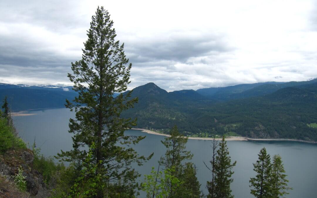
The route to Nelson from this point follows the Skattebo Reach Trail, which runs from Castlegar’s Brilliant Suspension Bridge, east along the Kootenay River to the small community of Glade. On the far side of Glade, the Ward’s Ferry trail runs to the Rover Creek Forest Service Road, which connects to Blewett Road, near the Canal lands west of the community of Blewett. Both of these trails are managed and maintained by Castlegar Parks and Trails Society. Mountain biking, while difficult is permitted. No camping is available along the trails.
A suitable bicycle bypass route around Skattebo Reach and Ward’s Ferry utilizes Highway 3A to the canal lands on Blewett Road (where some dike trails can be accessed). Pass Creek Road can also be used but shoulders are non-existent and there are many blind corners; we don’t recommend it.
From the eastern end of the Ward’s Ferry Trail, the route between Blewett and Nelson follows Blewett Road to the village of Granite. Cyclists beware: the route then swings south and involves a steep climb up Morning Mountain to an elevation of 1320 metres along the “Bottom’s Up” mountain bike trail, then travels back down via the “Giveout Creek” forest service road to meet Highway 6 and the Salmo Great Northern Rail Trail at Cottonwood Lake, south of Nelson. The route then follows the Great Northern northbound to Nelson at Mountain Station. Touring cyclists may find this route incredibly challenging as the route is more suitable for mountain bikes. Therefore we have marked this portion of the TCT as “Hiking Only”. Touring cyclists may wish to reach Nelson by continuing east on Granite Road (turn left on Railway St once you reach Nelson, then right on Baker).
Recent Comments