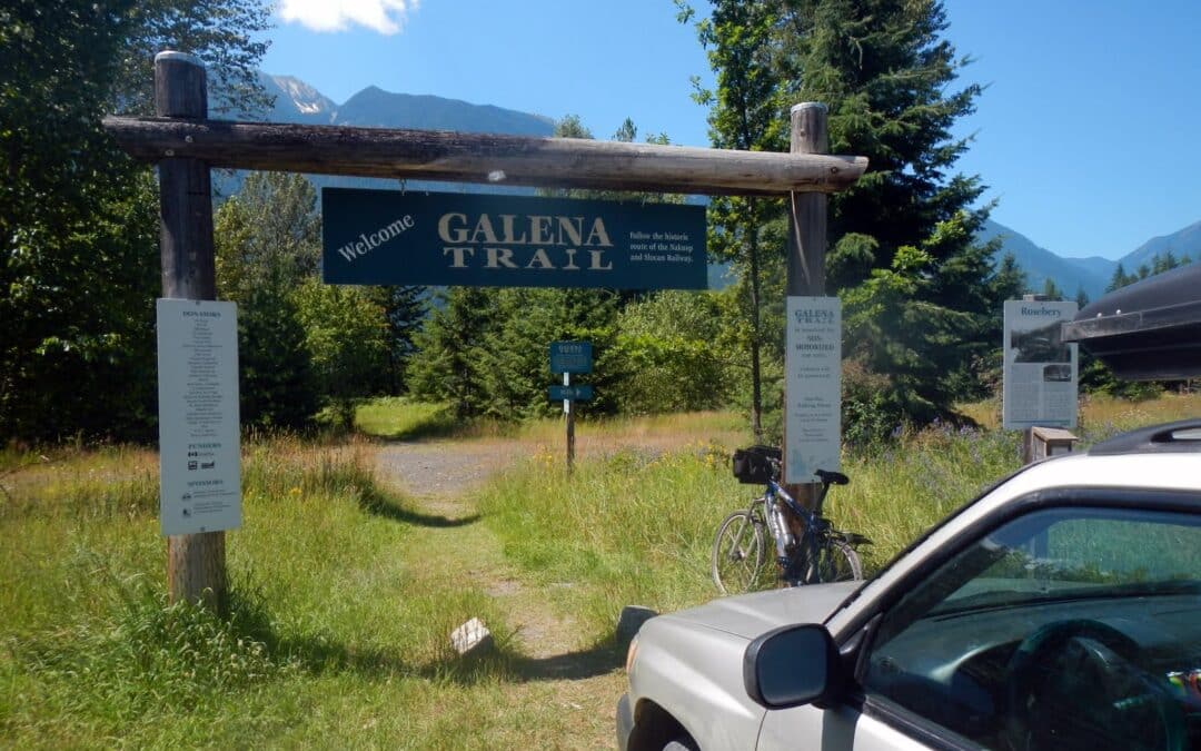
The Nakusp & Slocan (N&S) Railway and Galena Trail combine to create a continuous trail between Nakusp (in the northwest) to Three Forks east of New Denver. The northwestern portion from Summit Lake to Nakusp is reported to be well maintained by the Nakusp and Area Community Trails Society. The section between Summit Lake and Rosebery is reported to have overgrowth and is subject to water issues in Spring to early Summer. Expect motorized use on these sections. The popular 14-15 km Galena Trail starting at Rosebery West of New Denver to Three Forks, is a designated non-motorized greenway and is well managed by the Regional District. It features a cable car that allows users to cross Carpenter Creek near Three Forks.
Heading further east you can try to follow the Kaslo River Trailway, an abandoned rail corridor between Kalso and Three Forks. Some of the railways has been converted to trail, while other sections are now forestry road, and some have been abandoned. Our map shows an approximation of the route – and should be used with a high degree of caution and scepticism! If you have an updated GPS track for us to use, please submit it to us! We have included a road route which should be the route used when in doubt.
When combined, the entire corridor (including road connections) is approximately 94 kilometres between Nakusp and Kaslo.

The Trans Canada Trail splits in the city of Castlegar; while the main route travels east from the Brilliant Suspension Bridge towards Nelson along the Kootenay River, the traditional route runs south towards the city of Trail. This latter portion of the Trans Canada Trail could be described as a spur – it does not continue further than Trail in this direction.
From the Brilliant Suspension Bridge the route follows existing trails along the riverbank through Selkirk College and under the Kinnaird Bridge. Roadways through Ootischenia are necessary in order to connect with the Columbia River Trail which begins near the old settlement of Blagodatnoye. Keep in mind that the Columbia River Trail passes through some private property – stay on the trail and leave no trace!
The Columbia River Trail – and even some sections from Castlegar to Ootischenia – is moderately challenging for touring cyclists lugging trailers or carrying panniers. Consider an alternate route using roadways. That said, there are no major obstacles – but several narrow sections and steep climbs/descents.
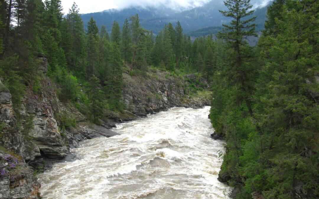
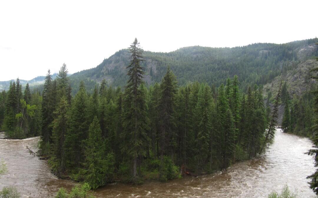
Spring flooding can be an issue along this entire route in early summer.
Closer to the city of Trail, the route run through Sunningdale and East Trail. A Trans Canada Trail pavilion is located in Gyro Park.
The Columbia & Western trail follows the Kettle River between Grand Forks to Christina Lake before climbing the shoulder of Castle Mountain and taking in the views of Christina Lake at the old railway station of Fife and continuing north uphill to Farron Station, nestled in the Monashee Mountains.
The Kettle Valley Railway continues from Beaverdell to Midway along a combination of paved roads, gravel roads, gravel trail and dirt tracks – plus multiple cattle guards and gates – that will keep you on your toes! Like the KVR between McCulloch and Beaverdell, the use of motorized vehicles along the trail – and conversion of trail into actual road – in this area means that some sections of the trail have become challenging – with some serious washboard conditions. The ride can be tiring, but the quiet pastureland provides beautiful views and possible close encounters with farm animals.
Be sure not to miss one of the highlights on the KVR; in the small community of Rhone is Cyclist’s Rest (and WWII epitaph). Local – and lifelong – resident Paul Letard has built a replica caboose which for years served as “the cyclist rest stop”. Now Paul lives in Midway and the new owners are keeping the cyclists rest stop open, but without the amenities. Please do not disturb them and it is only day-use. Water is no longer available here, the Big Dipper Campground a couple kms towards Beaverdell, has potable water available.
Rounding a bend in the river, the trail arrives to the warm grasslands of Midway. The museum is a popular place to explore. Midway is often the stopping point for many travelers since the KVR technically ends here – but beyond lies another rail trail – the Columbia & Western. The Columbia and Western Rail Trail extends from Castlegar to Midway for about 164kms and Midway was its terminus.
The Trans Canada enters the West Kootenay region just north of the Paulson bridge along the Columbia & Western Railway at the height of land near Farron Station. This portion of the trail is filled which rich history, including the spectacular bombing of the railway in 1924. A small monument to its target, Doukhobor leader, Peter Verigin, lies adjacent to the trail. Further north, the trail passes through the nearly 1-km long Bulldog Tunnel, before turning east and travelling downhill to Castlegar, featuring fantastic views of Lower Arrow Lake along the way. This is possibly the most remote part of the KVR/C&W rail trail. The trail ends when it reaches the Hugh Keenleyside Dam; from here, the rail line is still active; the main line in Castlegar connects Nelson and Trail, with this sideline to the dam servicing the nearby timber mill.
The trail surface varies from hard packed to loose gravel. Trail maintenance is performed by the BC government (Rec Sites and Trails BC) and the local volunteer steward group, the Columbia & Western Trail Society. Due to the rugged and remote nature of the area, the trail’s various trestles, culverts and embankments are bombarded by Mother Nature each winter and spring; trail users should anticipate closures and temporary bypasses when setting out on the trail early in the year. Please report any major washouts or new damage to us, or the organizations mentioned above.
Trail users may wish to note that snow can cling to the height-of-land (at the Farron explosion site) as late as early June. Though usually no deeper than 6-8″, some users may wish to consult the map and take note of a logging road which detours 7 km of the trail on its east side. The southern end of this road is very steep and muddy.
Important: You will almost certainly encounter motorized vehicles along the route, particularly ATVs and dirt bikes, which could be travelling at high speeds. Over the years, unregulated motorized use has degraded the trail surface along the Columbia & Western, making many areas quite challenging for hikers and cyclists. Users should come prepared for sandy conditions. Please see our equipment recommendations on the West Kootenay main page or even more detail on our “Equipment Tips” page of our Travel Tips.

Recent Comments