The Great Divide Trail is under development by utilizing existing trails, forestry roads, and new trails being built by an enthusiastic group of volunteers.
Please note the above map is hosted and updated by the Great Divide Trail Association. Trails BC does not update this map or guarantee its accuracy.
Since we do not host or update this trail map, we do not offer a GPS download for this trail. Please download the latest copy by opening this map in Google Maps and selecting “Download KML” from the menu.

The Baden Powell Trail is a bucket list or iconic trail that needs two to four-day hikes because there is no camping along the way. However, there are several good access points. It is mainly a single-track trail that is quite rugged most of the way with the first leg out of Horseshoe Bay probably being the most challenging because of the quick change in elevation and a scramble across rock scree or talus heading up Black Mountain. The challenges after that tend to be getting in and out of deep creek gorges. The knee-Knacker runners do it in one day.
The Boy Scouts and Girl Guides were inspired by the centennial year of B.C’s entry into Confederation in 1871 to establish this legacy trail in 1971.

This unforgettable hike along the Pacific Coast is somewhat rugged in places. It allows for shorter less rugged by-passes (magenta track) that miss the truly iconic viewpoints that have viewing platforms. It is a trail that is still in progress with the eventual goal of joining up with the Pacific Rim National Park with its magnificent sandy beaches. This trail is quite a contrast to Long Beach showing off the ruggedness of the Pacific Coast with the sea ravaging its rock cliffs and its effects on the vegetation. There are opportunities to go on the beach when the tide is out or heading out when on the lighthouse part of the trail. Allow about 3 hours to explore the whole trail. Go to this website for a brochure about the trail.

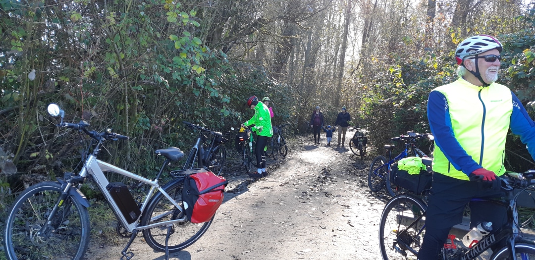
This Loop on the historic Fort-to-Fort Trail and in the Derby Reach GVRD Park in the Township of Langley is also a designated Equestrian Trail called the Houston Trail. It borders on a huge peat marsh part of which is a very large cranberry farm. The park itself feels like a forested island surrounded by mainly farmland. Heritage farm buildings are also on display It allows for an easy and pleasant walk than can be done within 2 hours.


Recent Comments