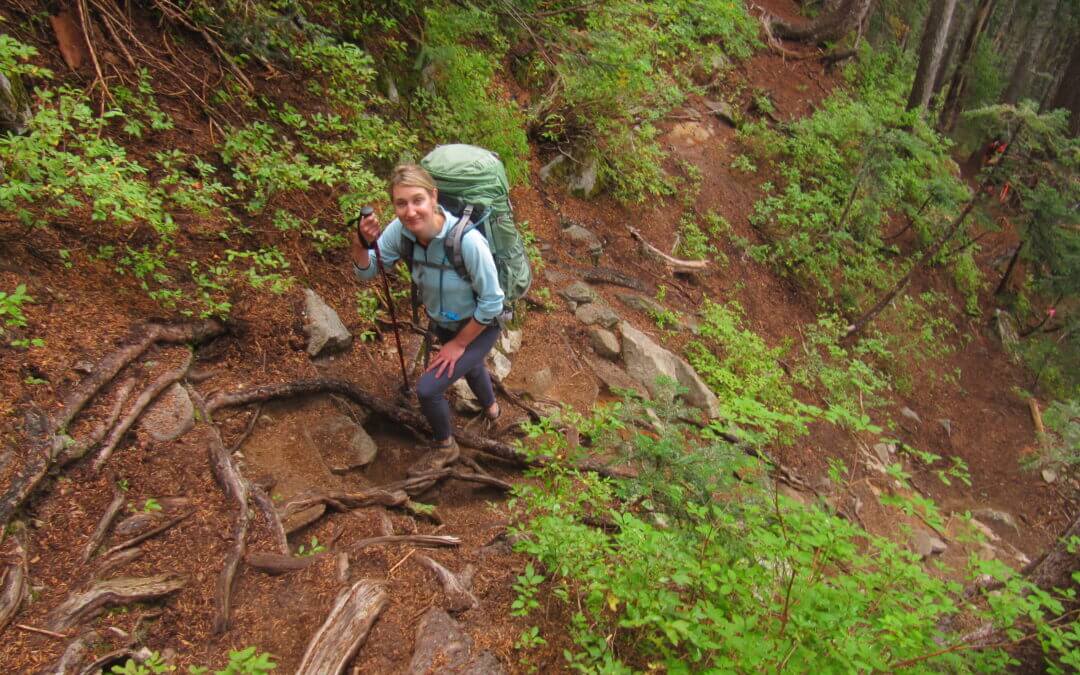
The Howe Sound Crest Trail is a fantastic, but challenging 28 km hiking journey along mountaintops north of Vancouver between Cypress Mountain and Porteau Cove. The hike provides view of Howe Sound from dizzying heights, but the hike itself isn’t exceptionally technical or dangerous – though some parts can be quite intimidating. Normally, this hike is undertaken as an overnight trip by staying at one of the campsites along the way – the Magnesia Meadows campsite being a suitable halfway mark.
The route connects to the Trans Canada Trail in West Vancouver – and many hikers begin the trip at this intersection, located at the parking lot of the Cypress Mountain ski hill. The northern terminus is located at Highway 99 near Porteau Cove. Unfortunately, public transit from this point does not exist so most hikers are reliant on a pick-up.
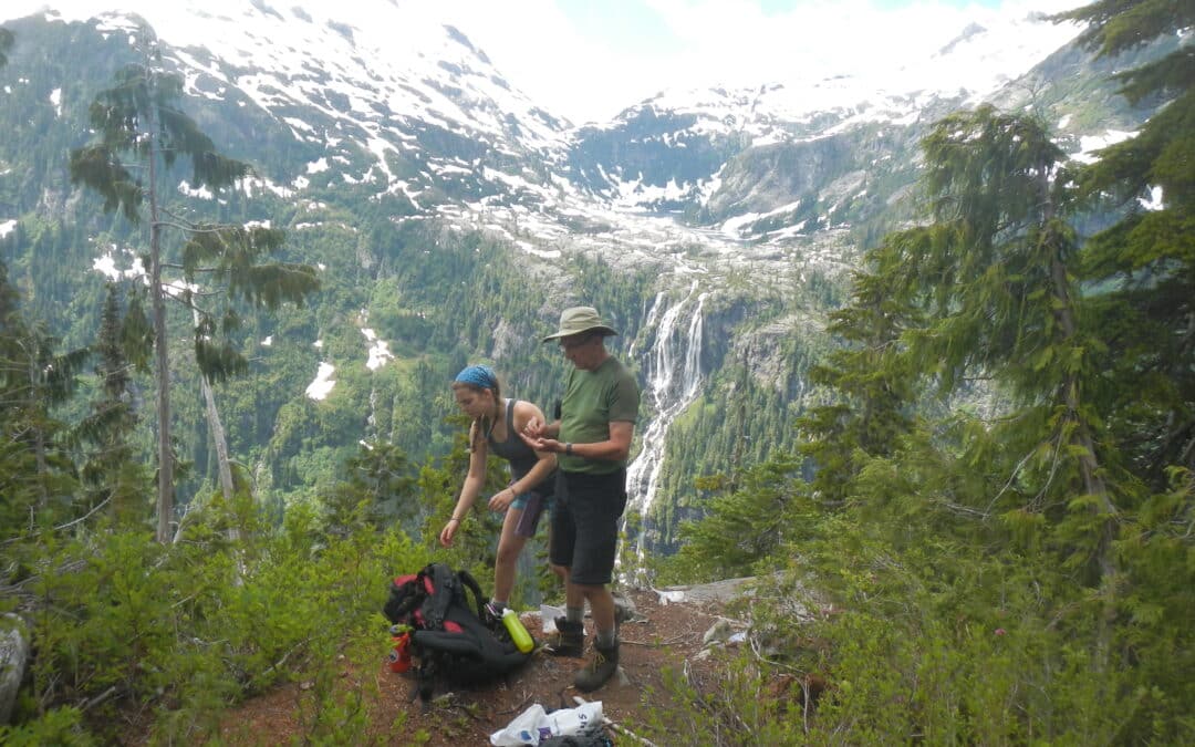
This hike in Strathcona Provincial Park features the highest falls in Canada (444 metres/1456 ft.); they are spectacular and a must see destination. It is a 15-km hike to the base of the falls with another hike of nearly 3 km to a viewpoint on the Love Lake-Mount Septimus Trail.
The trailhead is accessed by boat, kayak, or canoe from one end of Grand Central Lake requiring a 33 km trip, the other end of the lake. Many choose to use the shuttle service (see Highlights below).
For those arriving by canoe, there are a few informal campsites along the lake. Scout Beach is a popular recreational site and possible place to launch a canoe (while cutting down on distance to paddle to the Della Falls trailhead). Most suitable camping areas are roughly 3/4 of the way to the Della Falls trailhead along the north shore. There is a rack for kayaks and canoes at the trailhead.
The main camps are at the trailhead, Margaret Creek (6.7 km), and near Della Falls (14.2/14.7 km). There is wilderness camping (12.2 km) on a small beach along Drinkwater Creek.
The main trail follows Drinkwater Creek named after a gold prospector who worked this area in 1899. The first 10 km is essentially a rail grade interrupted by creek washouts and water damage causing many detours and walking on slippery rocks crossing creeks. There is frequent water damage on the trail. Bridging at Margaret Creek for example is higher up the creek for an easier crossing but creating quite a climb and descent. There are usually quite a few tree falls requiring ducking under, detouring, or climbing over. The trail is also overgrown in places. From the cable bridge it becomes a rugged single track trail and a bit difficult to follow in spots especially the section just past the wilderness camp where the trail heads over large rocks that are part of an old rock fall from the high cliffs looming above. Flagging is in place for wayfinding. There are many pleasant sections overall and the tree cover is much appreciated for much of the hike.
The falls are at their best in mid July when glacial run off is at its peak. However, visitors in mid-August will find swimming in Love Lake to be much more comfortable!
Mud isn’t a huge issue, but gaitors can come in handy due to thorny bushes that you may encounter on the trail.

Recent Comments