
This route is a new addition to the Trans Canada Trail, connecting Castlegar directly with Nelson. This route effectively replaces the original route south from Castlegar to Trail, then east to Salmo and north to Nelson. The Castlegar-Trail route is still in the process of being officially connected, and the Salmo-Nelson route will remain designated as a spur to the main TCT route.
For the time being, the Trans Canada Trail route from Castlegar to Nelson is a little complicated; a fair amount of the trail which is already designated – or will be in the future – is “hiking only”, hence why our map is so littered with routes.
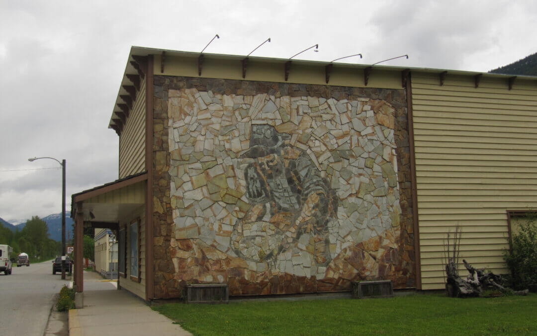
For trail users arriving from the west, the route leaves the Columbia & Western rail trail at its eastern terminus, running along Arrow Lakes Drive towards downtown Castlegar. Instead of continuing along Columbia Ave, the route swings south (technically still Arrow Lakes Drive) and uses a pedestrian tunnel under the CP Railway. Arriving in downtown, the route heads north past City Hall, the Railway Museum and joins a pedestrian walkway along the Robson Bridge, crossing the Columbia River. Once on the opposite side of the river, the route connects to the Waldie Island Trail (walkers only, bicyclists use the highway to Brilliant Road) and runs along Brilliant Road to the Historic Brilliant Suspension Bridge.
The route to Nelson from this point follows the Skattebo Reach Trail, which runs from Castlegar’s Brilliant Suspension Bridge, east along the Kootenay River to the small community of Glade. On the far side of Glade, the Ward’s Ferry trail runs to the Rover Creek Forest Service Road, which connects to Blewett Road, near the Canal lands west of the community of Blewett. Both of these trails are managed and maintained by Castlegar Parks and Trails Society. Mountain biking, while difficult is permitted. No camping is available along the trails.
A suitable bicycle bypass route around Skattebo Reach and Ward’s Ferry utilizes Highway 3A to the canal lands on Blewett Road (where some dike trails can be accessed). Pass Creek Road can also be used but shoulders are non-existent and there are many blind corners; we don’t recommend it.
From the eastern end of the Ward’s Ferry Trail, the route between Blewett and Nelson follows Blewett Road to the village of Granite. Cyclists beware: the route then swings south and involves a steep climb up Morning Mountain to an elevation of 1320 metres along the “Bottom’s Up” mountain bike trail, then travels back down via the “Giveout Creek” forest service road to meet Highway 6 and the Salmo Great Northern Rail Trail at Cottonwood Lake, south of Nelson. The route then follows the Great Northern northbound to Nelson at Mountain Station. Touring cyclists may find this route incredibly challenging as the route is more suitable for mountain bikes. Therefore we have marked this portion of the TCT as “Hiking Only”. Touring cyclists may wish to reach Nelson by continuing east on Granite Road (turn left on Railway St once you reach Nelson, then right on Baker).
The Salmo Great Northern Trail is a 48 km abandoned railway running between the town of Salmo in the south, and the city of Nelson in the north. The railway was operated by Burlington Northern Santa Fe. Today, most trail stewardship is overseen by the Regional District of Central Kootenay (RDCK).
The trail’s gravel surface is highly degraded in the Salmo area, but improves as the trail heads north, away from heavy motorized activity. The RDCK allows motorized use on the trail’s southern half from Salmo to roughly Hall Siding, though off-highway vehicles currently cannot legally cross highways (as of Winter 2014), the damage by motorized vehicles typically tapers off at the first highway crossing north of Salmo.
The river valley can be quiet and falling trees are sometimes an issue. We encourage eager trail users to consider carrying a small hand saw to take care of trail blockages – trimming back a few branches will allow cyclists and hikers to pass through easier. The trail normally improves in quality as it approaches Mountain Station, above Nelson.
Please note: The Regional District of Central Kootenay is initiating an annual spring trail closure for a portion of the Nelson-Salmo Great Northern Trail. The annual closure will include the trail south of Cottonwood Lake parking area to Hall Siding. The closure is in effect each year from May 1st until June 15th. Signs will be posted accordingly at the entrance to trail closures. Collared bear data has shown the area from Cottonwood Lake to Hall siding, particularly the areas of Apex and Camp Busk, are heavily used by grizzly bears in the spring. The bears use this area because of its high valued forage habitat. In most cases the bears move on to higher elevations by the middle of June. It is felt that an annual closure will help ensure public safety and benefit the local bear population from over exposure.
As black bear and grizzly bear activity is common in the Spring and early Summer, bears may be present on the trail system throughout the year so please remember to always:
- use caution;
- do not attempt to view or approach bears;
- do not leave garbage or food on trails
Please respect all closures. Thank you for your cooperation!
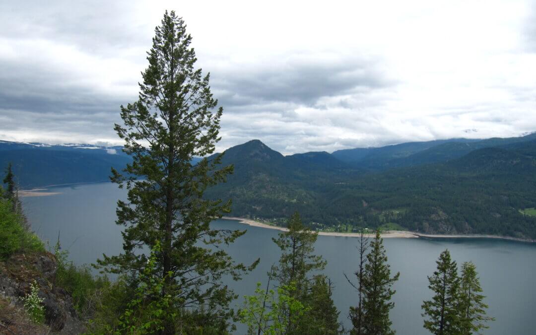
The Trans Canada enters the West Kootenay region just north of the Paulson bridge along the Columbia & Western Railway at the height of land near Farron Station. This portion of the trail is filled which rich history, including the spectacular bombing of the railway in 1924. A small monument to its target, Doukhobor leader, Peter Verigin, lies adjacent to the trail. Further north, the trail passes through the nearly 1-km long Bulldog Tunnel, before turning east and travelling downhill to Castlegar, featuring fantastic views of Lower Arrow Lake along the way. This is possibly the most remote part of the KVR/C&W rail trail. The trail ends when it reaches the Hugh Keenleyside Dam; from here, the rail line is still active; the main line in Castlegar connects Nelson and Trail, with this sideline to the dam servicing the nearby timber mill.
The trail surface varies from hard packed to loose gravel. Trail maintenance is performed by the BC government (Rec Sites and Trails BC) and the local volunteer steward group, the Columbia & Western Trail Society. Due to the rugged and remote nature of the area, the trail’s various trestles, culverts and embankments are bombarded by Mother Nature each winter and spring; trail users should anticipate closures and temporary bypasses when setting out on the trail early in the year. Please report any major washouts or new damage to us, or the organizations mentioned above.
Trail users may wish to note that snow can cling to the height-of-land (at the Farron explosion site) as late as early June. Though usually no deeper than 6-8″, some users may wish to consult the map and take note of a logging road which detours 7 km of the trail on its east side. The southern end of this road is very steep and muddy.
Important: You will almost certainly encounter motorized vehicles along the route, particularly ATVs and dirt bikes, which could be travelling at high speeds. Over the years, unregulated motorized use has degraded the trail surface along the Columbia & Western, making many areas quite challenging for hikers and cyclists. Users should come prepared for sandy conditions. Please see our equipment recommendations on the West Kootenay main page or even more detail on our “Equipment Tips” page of our Travel Tips.

The trail between Hydaulic Lake and the community of Beaverdell is fairly quiet, though the use of motorized vehicles along the trail – and conversion of trail into actual road – means that some sections of the trail have become challenging – with some serious washboard conditions. Bicycle riders without front suspension will get their bones rattled! However, the rail trail is better than riding the busy hwy 33 corridor and has sections that are far removed from the speeding traffic. Also cycling this section gives views of the West Boundary and the West Kettle River which are outstanding.
Our map includes a short detour into the village of Beaverdell, which features a small general store, b&b’s and restaurants. To find more detailed info and updates on the rail trail, please contact the local stewardship society called Trails to the Boundary Society.

Recent Comments