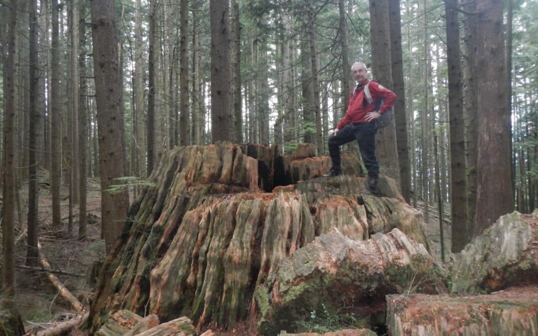
Burke Mountain Village Loop of 6.4 km – elevation change of 150 metres
This quite easy walking loop offers the opportunity to see how greenways and parks have been integrated into this new community on the outskirts of Coquitlam The greenways include Smiling Creek, Hyde Creek, and a BC Hydro right-of-way. Expect to be among giant cedars and Douglas Fir trees. The primitive stumps are of interest as well. There are opportunities to take in views all the way to Mount Baker on a clear day. While on some of the city sidewalks it is interesting to take in the various residential styles in this densely populated neighbourhood. Also, of interest in the neighbourhood are the multi-use paved pathways along David Avenue and Coast Meridian Road.
Crystal Falls – Woodland Trail – and Burke Village Loop 14 to 20 km – elevation change of 300 metres
This worthwhile day hike takes in the features of the Mountain Village Loop excluding the west side of the loop which is less featured than the east side. Much of this trail is quite a bit more rugged giving the feeling of being in the backcountry following Coquitlam River, and viewing such sites as the magnificent Crystal Falls and spectacular views over Coquitlam Lake, the water supply for the region. The length of the hike is dependent on alternatives that you may wish to take. Note that if the water is too high at the base of Crystal Falls there is an alternative route that can be taken before the falls.

This is a hugely rewarding hike with a great variety of terrain, some of it somewhat challenging, Prepare yourself as though you are hiking in the backcountry. The most northerly loop is the most challenging. As you can see it can be broken up into several smaller hikes. There are amenities at Lynn Canyon Suspension Bridge. The features consist of canyons, rushing water, old forest, a lake, and bridges including a suspension bridge.

This section of the Trans Canada Trail takes in the main features of Vancouver Centre and normally takes about 2.5 hours to do cycling (5-6 hrs for walkers). If you do it as a loop back to Coal Harbour via North False Creek and Hornby Bikeway add 5k or via Gastown add 2k.
Crippen Regional Park – The Metro Vancouver Regional Park website.
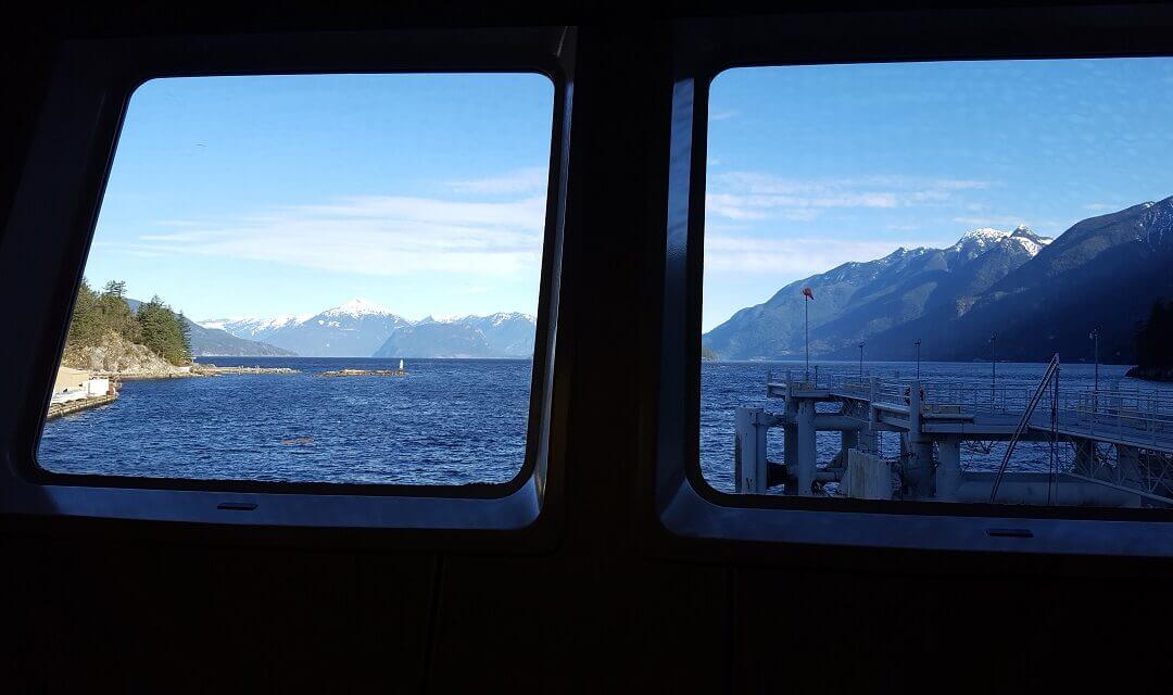
It comes off the Trans Canada Trail at Horseshoe Bay by taking a 20 minute ferry to Bowen Island. There is no need to take a vehicle over for this loop. The loop is 16 km ( 2.2km less if you leave out Dorman Point). This is quite an easy walk including restaurants and shops. Allow up to 6 hours to do the whole trail allowing for stops. A good meetup place is in front of the Library just beyond the Snug Cover Ferry terminal.
Main features for this walking loop:
- Snug Cove itself with its amenities and a great waterfront
- Bridal Falls and Fish Ladder
- Killarney Lake circuit
- Killarney Meadow and Fish Hatchery
- Grafton Lake
- Artisan Square (place to eat as well)
- Dorman Point Lookout (Can be kept as an option of 2.2 km)
A good historical review of Bowne Island on this website

There are only superlatives to express the experience taking in the Othello tunnels and its canyon. No one leaves this area unimpressed. The loop allows one to take a trail, once part of the Brigade Trail, above the tunnel area. Expect the latter to be a rugged trail and requiring quite a bit of climbing. Of course the trail through the tunnels was once a railroad and therefore the grade is less than two percent. The distance may seem short but because of the climbing it will take extra time. Allow 2.5 to 3 hours.

Recent Comments