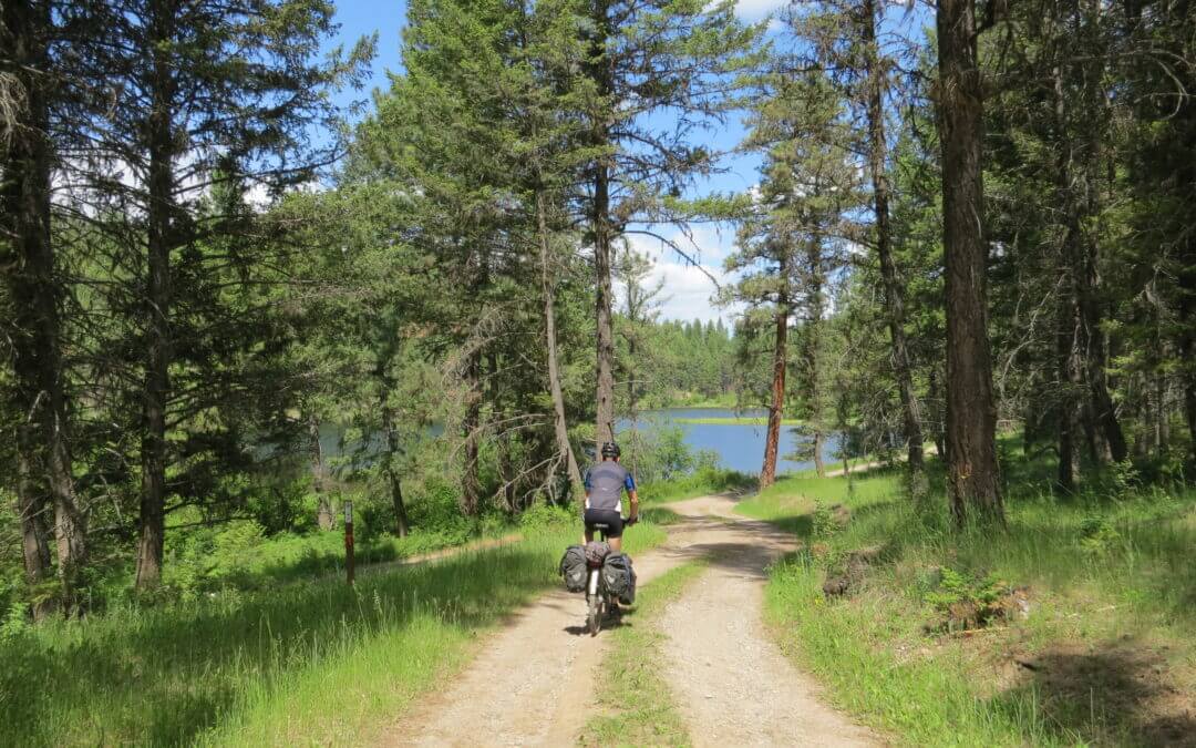
The route from Wardner towards Elko roughly follows the west shore of the the Kootenay River (Lake Koocanusa) on former forestry roads, heading south and eventually running parallel to Caven Creek Road and crossing Lake Koocanusa (Kikomun Newgate Road bridge) and entering Kikomun Creek Provincial Park and utilizing bits and pieces of a former rail grade. From Bayne’s Lake, the trail is mainly forestry roads – some of which can be muddy – which begin to travel north, eventually reaching Highway 3 and the town of Elko.
From Elko to Morrissey Creek, trails users will find themselves on a gravel logging road which runs along the south-and-east bank of the Elk River. This logging road is certainly quieter than the highway but sees considerable logging-truck traffic and can be dusty as well. Take great caution with approaching logging trucks from all directions – and it is probably best to pull over to the side of the road to let them pass, which they will do at high speeds. An alternative route is simply staying on Highway 3 (preferably only from Elko to Morrissey)
From Morrissey Creek north to Fernie, mountain biking trails known as the “Elk Valley Trail” take in views of the looming mountain ridge lying on the west side of the Elk River. Portions of the route are challenging, so River Road and Cokato Road can be used as bypasses for touring cyclists.
The Salmo Great Northern Trail is a 48 km abandoned railway running between the town of Salmo in the south, and the city of Nelson in the north. The railway was operated by Burlington Northern Santa Fe. Today, most trail stewardship is overseen by the Regional District of Central Kootenay (RDCK).
The trail’s gravel surface is highly degraded in the Salmo area, but improves as the trail heads north, away from heavy motorized activity. The RDCK allows motorized use on the trail’s southern half from Salmo to roughly Hall Siding, though off-highway vehicles currently cannot legally cross highways (as of Winter 2014), the damage by motorized vehicles typically tapers off at the first highway crossing north of Salmo.
The river valley can be quiet and falling trees are sometimes an issue. We encourage eager trail users to consider carrying a small hand saw to take care of trail blockages – trimming back a few branches will allow cyclists and hikers to pass through easier. The trail normally improves in quality as it approaches Mountain Station, above Nelson.
Please note: The Regional District of Central Kootenay is initiating an annual spring trail closure for a portion of the Nelson-Salmo Great Northern Trail. The annual closure will include the trail south of Cottonwood Lake parking area to Hall Siding. The closure is in effect each year from May 1st until June 15th. Signs will be posted accordingly at the entrance to trail closures. Collared bear data has shown the area from Cottonwood Lake to Hall siding, particularly the areas of Apex and Camp Busk, are heavily used by grizzly bears in the spring. The bears use this area because of its high valued forage habitat. In most cases the bears move on to higher elevations by the middle of June. It is felt that an annual closure will help ensure public safety and benefit the local bear population from over exposure.
As black bear and grizzly bear activity is common in the Spring and early Summer, bears may be present on the trail system throughout the year so please remember to always:
- use caution;
- do not attempt to view or approach bears;
- do not leave garbage or food on trails
Please respect all closures. Thank you for your cooperation!

Recent Comments